- COVID and Fire Tour 2020 — Introduction
- A quick stop at Mt. Rainier
- A short visit to Mt. Hood
- An interesting (and largely eventful) time at Newberry National Volcanic Monument
- Lava Beds National Monument
- Fire Evasion!
- Avoiding Vegas — and loving it!
- Kickin’ Route 66 and the Grand Canyon
- Migration — Communities that share the land on their way to somewhere (like us!)
- Red Rockin’ Utah’s (and a little of Arizona’s) National Parks and Monuments
- The journey home and final thoughts
When I was in school, we learned about the Anasazi and Mesa Verde. It was cast as this big “woo woo” mystery, as if an entire population simply disappeared. After traveling around the Southwest US and Mexico for many years, it has become obvious that there were Meso-American trading routes that started from Guatemala (or south of there) and went at least through the Southwest US, probably from the 10th Century AD. One time when we visiting a cultural museum in Oaxaca City, there was a ceremonial mask that had turquoise from New Mexico in it. It was made in the 13th century! Anyway, people routinely migrated — whether seasonally, or because of resource availability or depletion. Water was always a key issue, especially for farming peoples. Given the scarcity that regularly faced them, archeologists now call these people the Sinagua (without water). They might stay in an area for decades and then move on. But later, other migrants might move in, make their changes, stay for a while and then move on themselves. To indigenous peoples in the US and Mexico, these sites aren’t abandoned, they are merely vacant and to this day, they are revered by their ancestors.
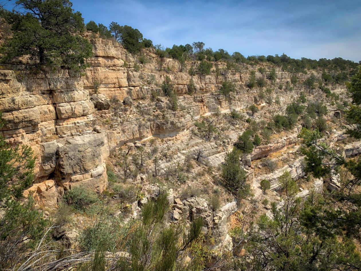
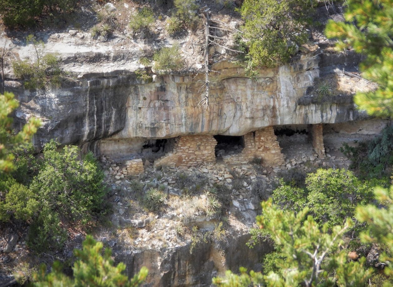
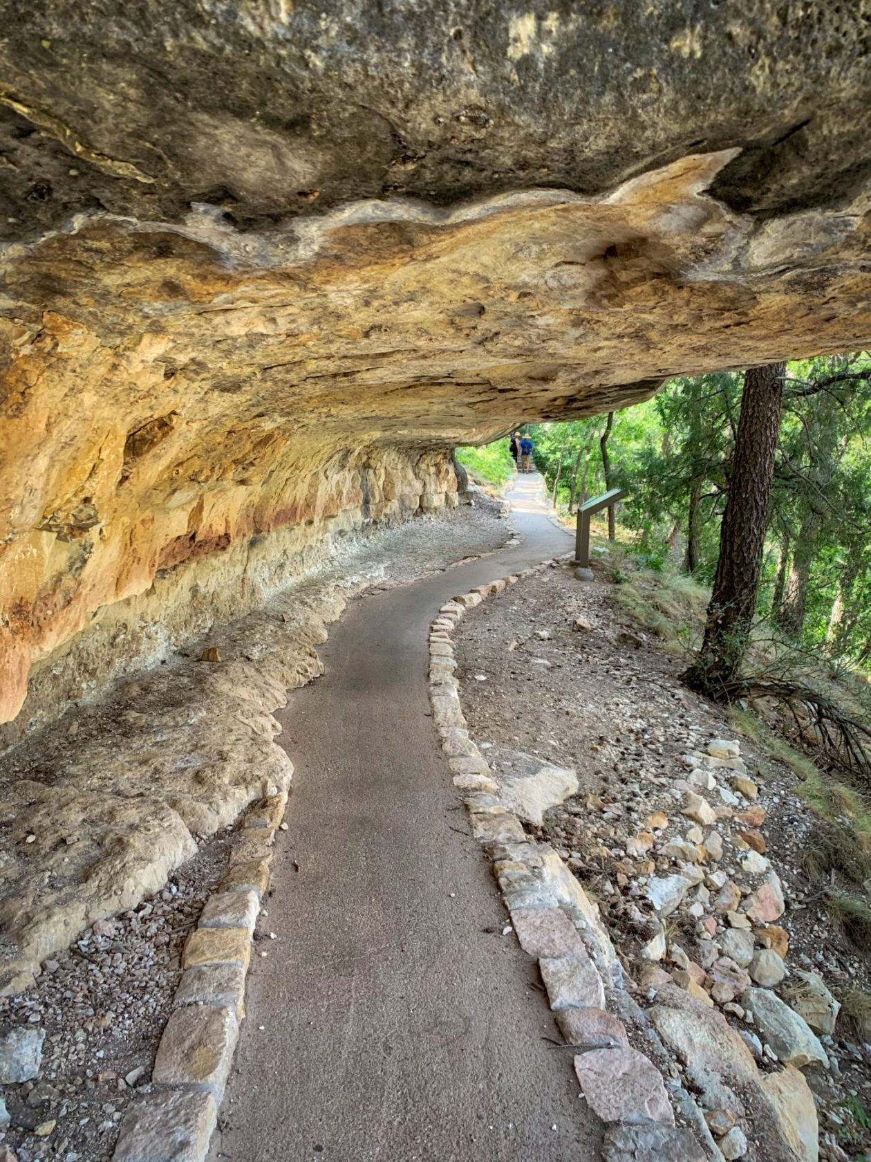
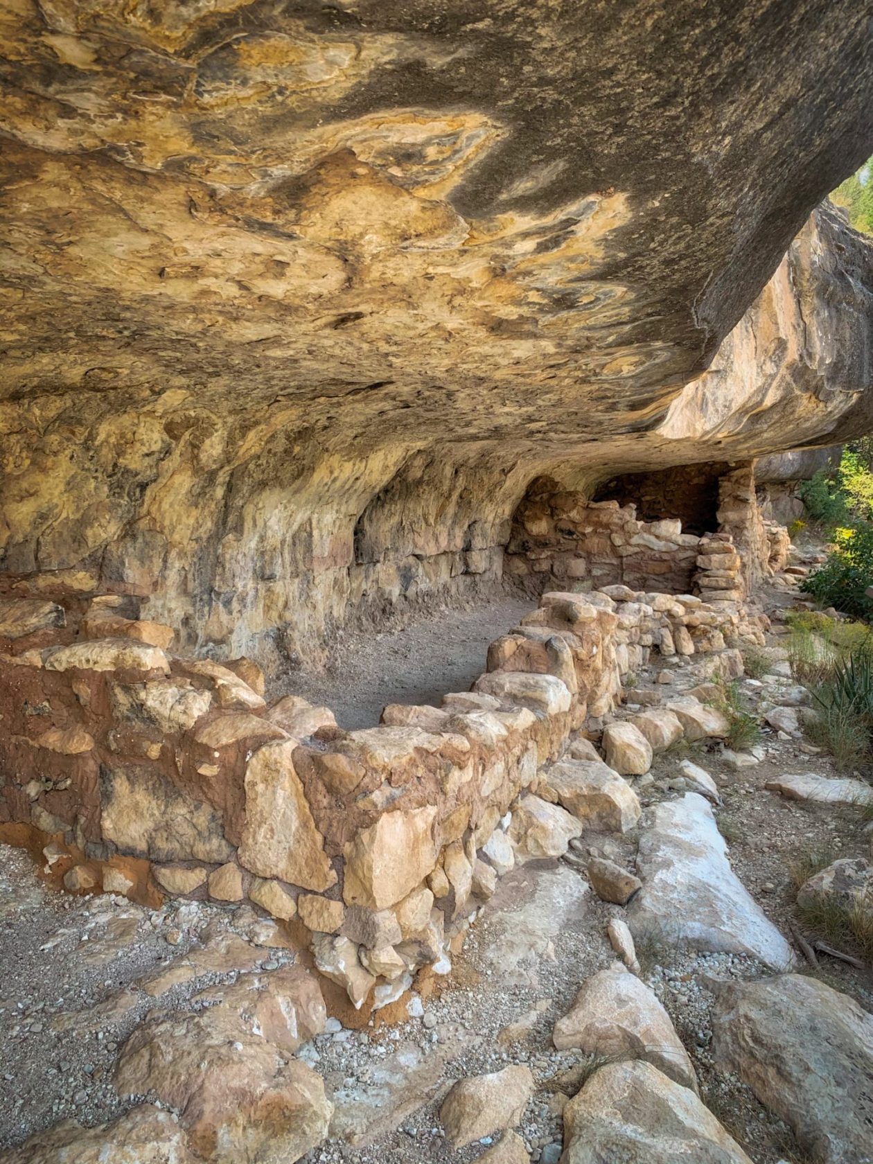
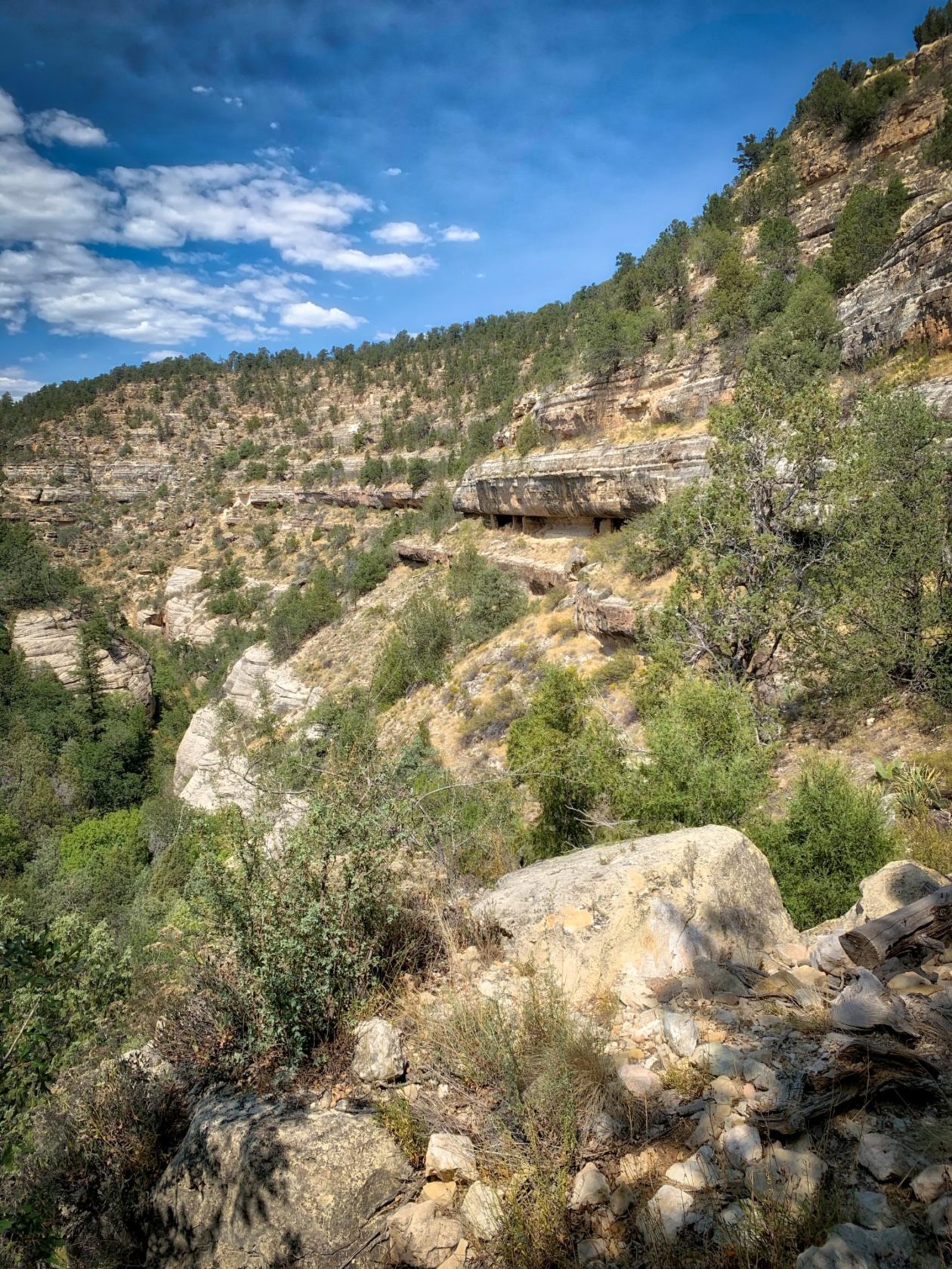
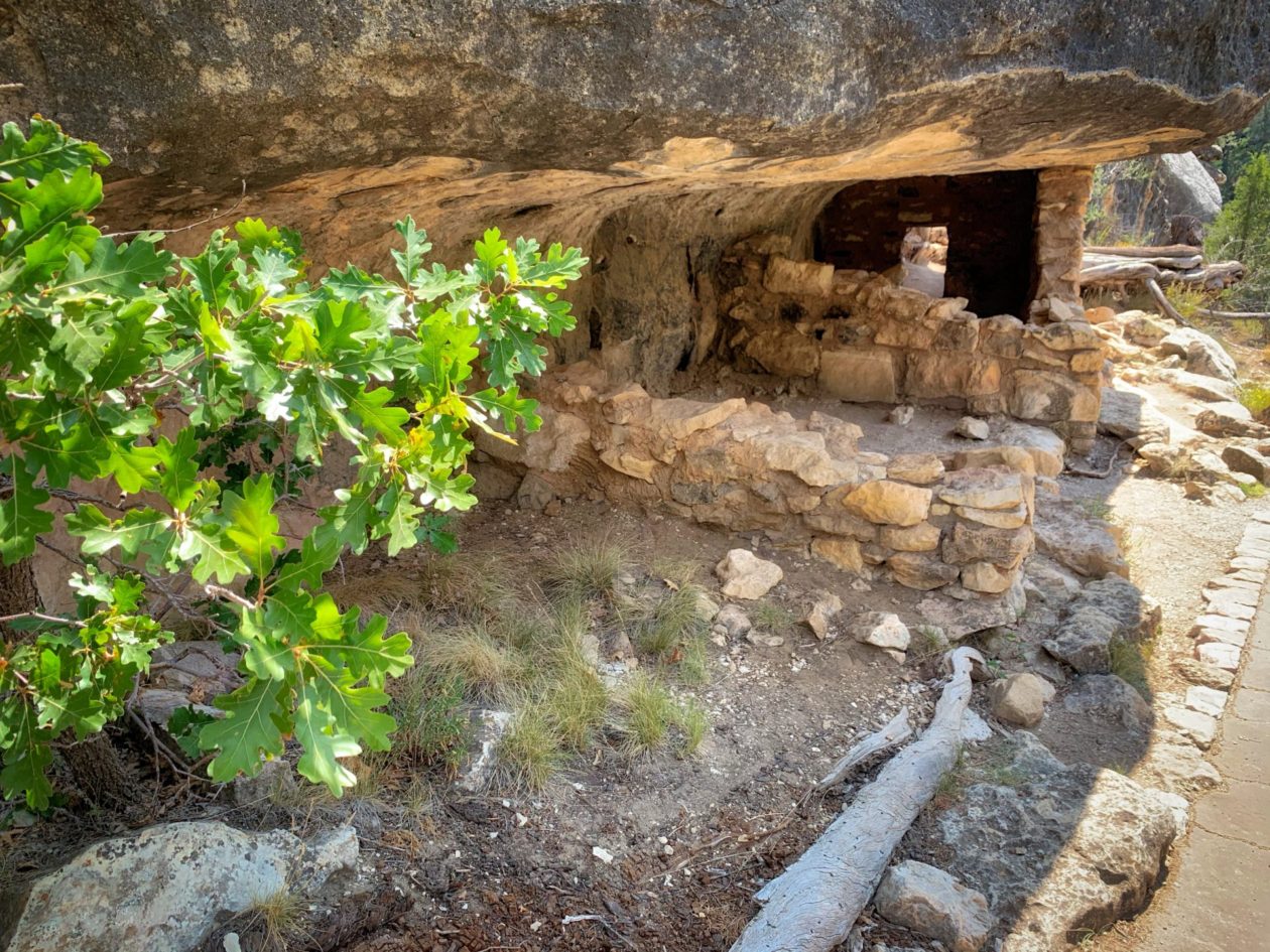
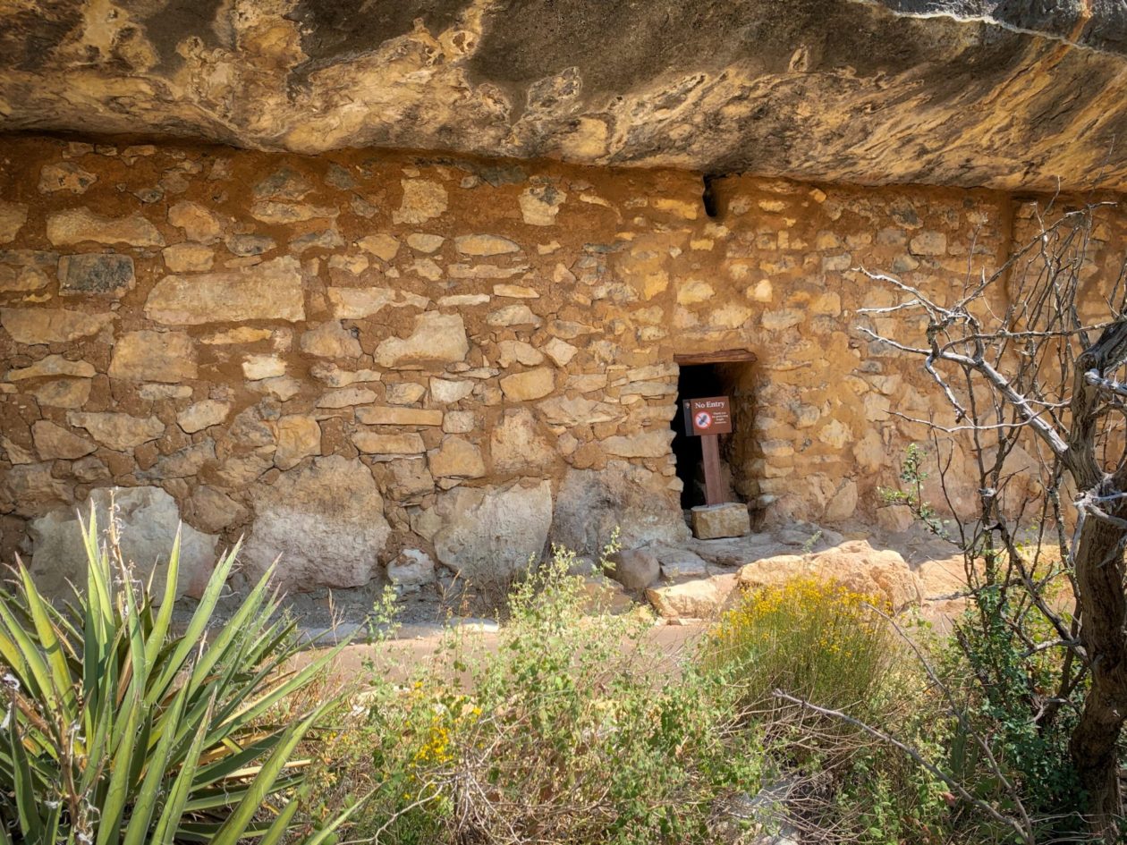
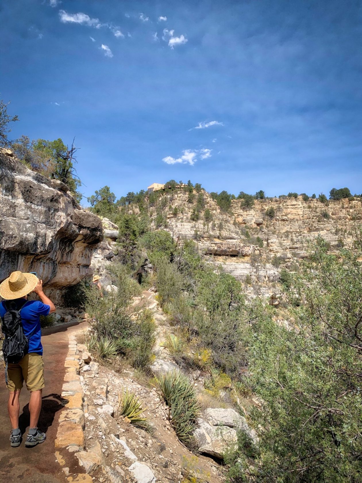
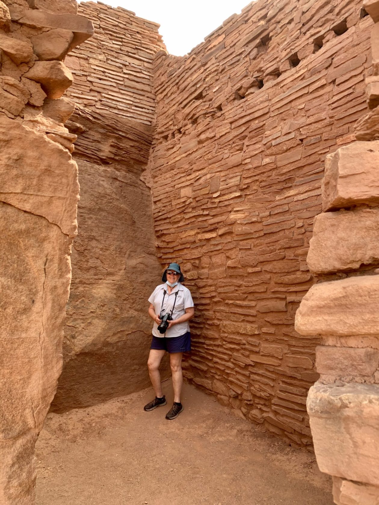
With that as a backdrop, while we were in the area, we wanted to visit some of these former communities — both cliff dwelling and in free-standing pueblos. A lot of good archeological work has been done and, consequently, we have a pretty good idea of what daily life was like in these places and, looking at it objectively, it wasn’t that much different than ours. Society is society — both the good and the not so good. Our first stop was at Walnut Canyon National Monument. Here was a farming community that lived in the area from around 1125 to 1250 AD. The national erosion of sedimentary rock left a series of ledges that would serve as roofs, floors and back walls that then could have pueblo-style front and side walls. What’s interesting is that they were all on the same levels. They reminded me of club-level sky boxes, all facing into the canyons. And, as in real estate today, it’s location, location, location — do you want to be on the sunny side or the shady side, do you have a patio, etc. I ended up hiking the Island Trail that descends into the canyon and lets you walk around the ruins of many of the old dwellings. You could actually feel what it must have been like living your daily life there. Archeologists say that there is good evidence of remodeling — whether expansion for a growing family or restructuring when subsequent generations came in. It appears at the peak there were about 400 residents here. After admiring the village, it was time to climb the 158 steps back up to the visitors’ center. Luckily, I had been walking with a nice couple who set a blessedly reasonable pace back up, taking time to stop and admire our surroundings. Bless them!
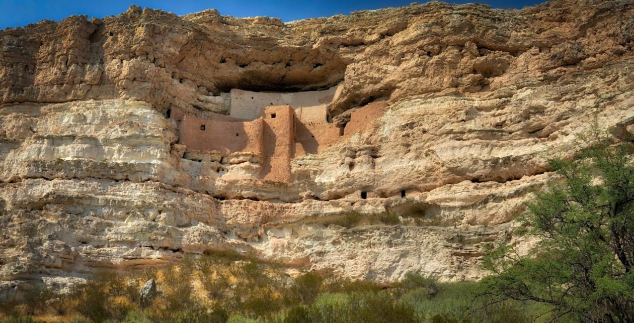
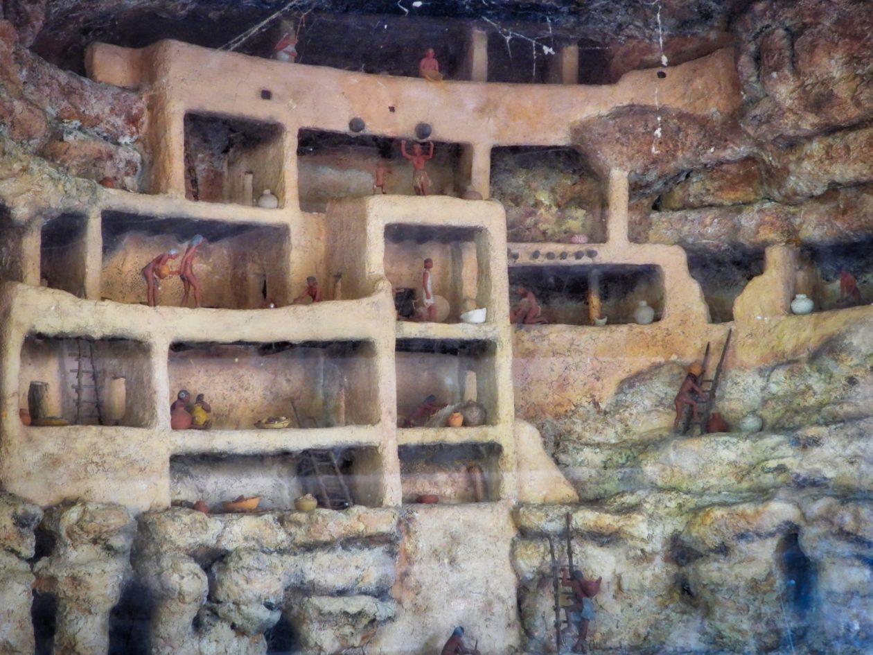
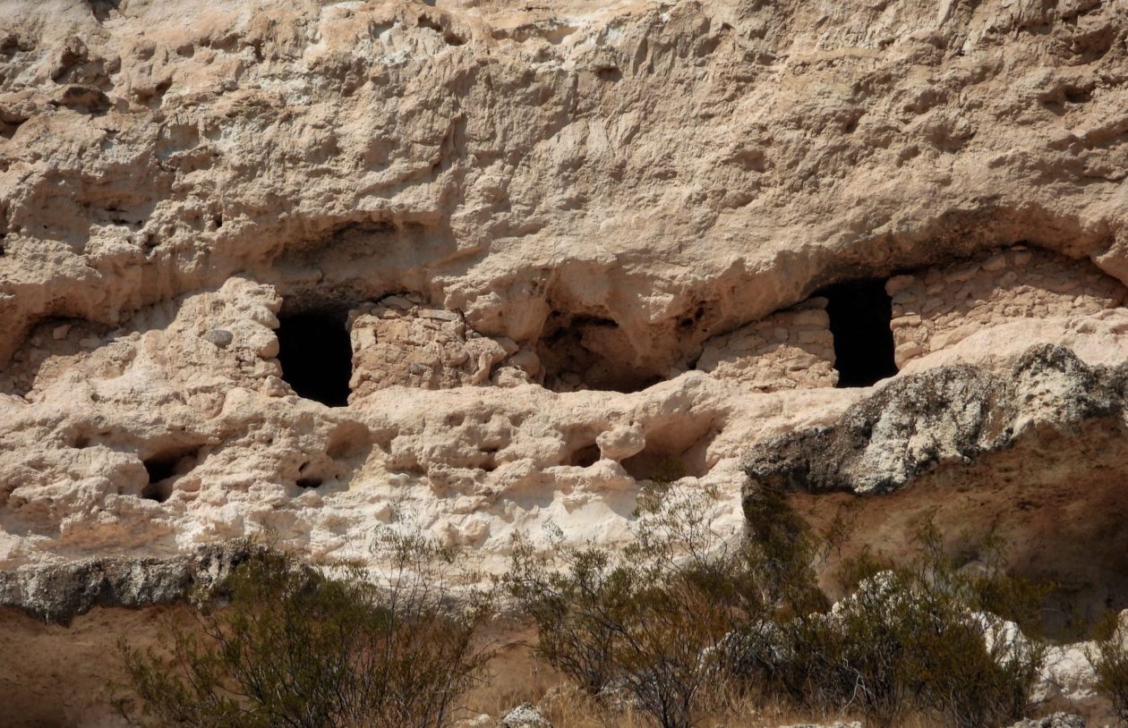
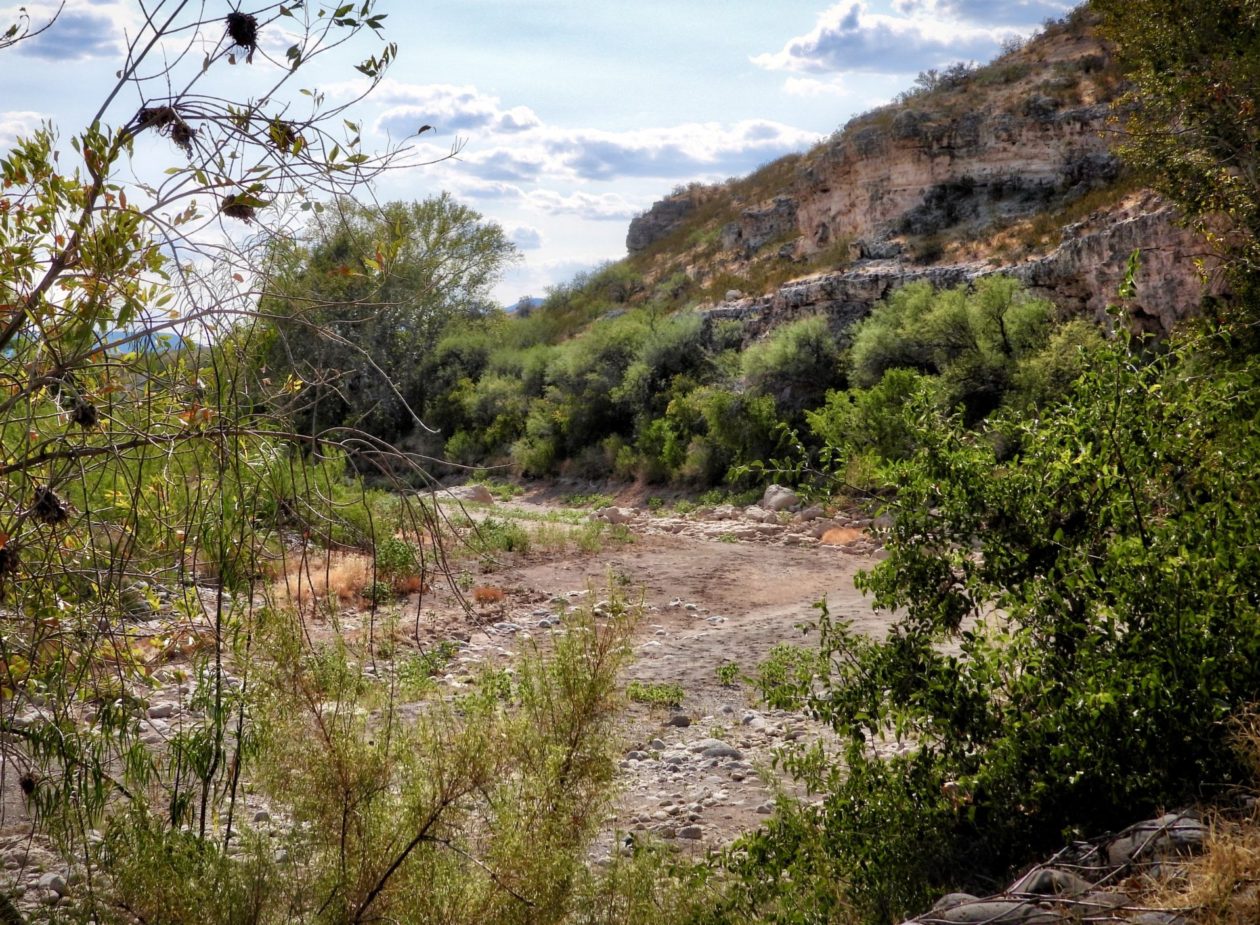
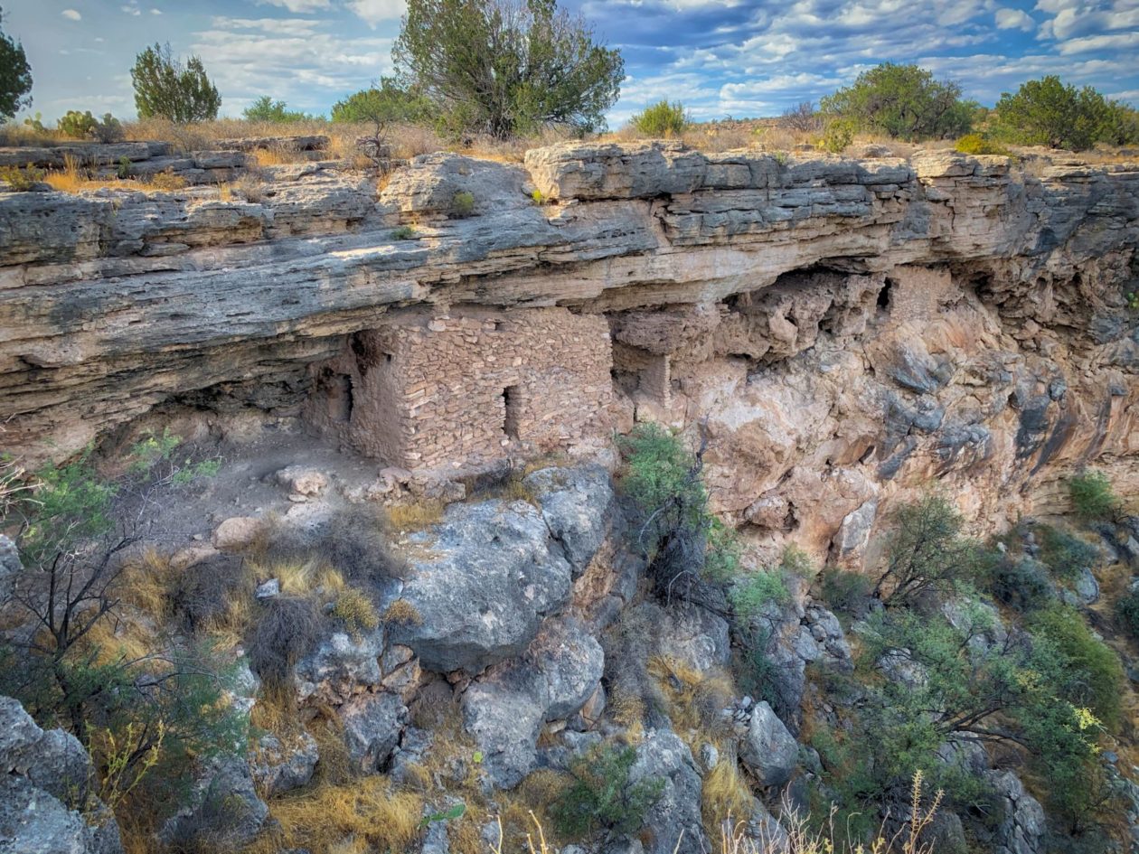
We next went to Montezuma Castle. It was inhabited from around 1100 to 1400. It was actually built along Beaver Creek, giving them access to a fairly steady, seasonal supply of water. Without those limestone overhangs, they took advantage of the recesses in the cliff and built, in effect, a five-story apartment building that could hold up to around 35 people. But others either dug into the cliffs or built on top, bringing the peak population of this community up to about 200 people. It’s not clear why they ultimately left, but there is speculation that many left to join larger and growing pueblos (moving to the suburbs to the big city). The naming of this area (and the next) is unfortunate. It was named by white settlers.landowners who came across this area and took an interest. At the time, King Moctezuma and Aztec culture were very popular in society, and hence, the name stuck. Needless to say, this area was built and inhabited well before the time of the Aztecs. If there is any good news, this interest led to declaration of this site as a national monument by President Wilson.
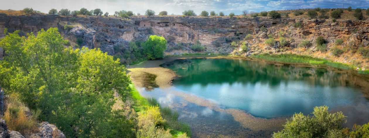
Not too far away was another awkwardly named, but hugely important site — Montezuma Well. This is a true oasis in the middle of the desert, holding 15 million gallons of water, that is refreshed daily, turning over about 1.5 million gallons. How can this be you say. Good question, and one that I won’t be able to adequately answer (if you want a better answer, round up a geologist, hydrologist and hydraulics engineer and buy them a few beers — they will explain it much better). Anyway, the source of the water is from rains and snow melt that filtered down 10,000 years ago on the nearby Mogollon Rim. It percolated down through hundreds of yards of various types of hard rock until it hit the permeable sandstone. Then it started seeping towards Montezuma Well. Once it got there, it hit a hard dike of basalt, forcing the water in an upward direction — all the way to the surface. Got all that? Me neither. All I can say is it must have rained one hell of a lot 10,000 years ago! There are no fish in this lake — carbon dioxide levels here are 80 times higher than most lakes. But that doesn’t mean there isn’t life; no, no! In fact, this lake is home to five species that are only found in this lake — in the world! Including the top of the pyramid — a unique species of swimming leeches! Want to go swimming?! Nah, me neither. But somehow it all works and they actually get scientist divers to go down there! Despite that fact, this jewel continues to provide clean, fresh water to residents in the area — even during times of extreme drought.
::: Bulletin, Bulletin, Bulletin::: From the continuing adventures of “Voyage of the Damned — COVID-19 edition”; Chapter 26 — Riot Dispersal Simulation
Today we find our heroes trying to depart the Flagstaff environs to continue our National Monument adventures. After filling a tank at the propane station, Glen drives over a curb, jarring the rig, with a definite sound of movement. No matter we say; we’ll check it when we stop next. At said stop, Deb opens the rig and investigates — only to find out that it was the pot we use for sous vide that has been jarred and tipped over onto the floor. Inside said pot is the bear spray, which has unfortunately broken open and sprayed the contents on the floor. Deb’s eyes immediately start burning/watering and she quickly runs out and throws the bear spray away. Then she returns to the rig and wipes her eyes vigorously with paper towels — that just happened to be next to the sous vide pot. We open up to air things out. We finally arrive at our campsite. It is a dry campsite (no services). We determine that we need to go to the bathroom to fill the pot so we can clean it, the sous vide device, etc. Glen carries said pot, leaves it on the ground, wipes his nose, and goes in to pee. As we return to the campsite, Glen notices that both his nose and his “Jolly Roger” are on fire. Many baby wipes are used to end the misery. Now all affected surfaces appear to be clean and hopefully we are returning to normal. Stay tuned for more exciting adventures in Voyage of the Damned. We now return you to your regularly scheduled blog posts!
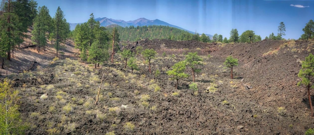
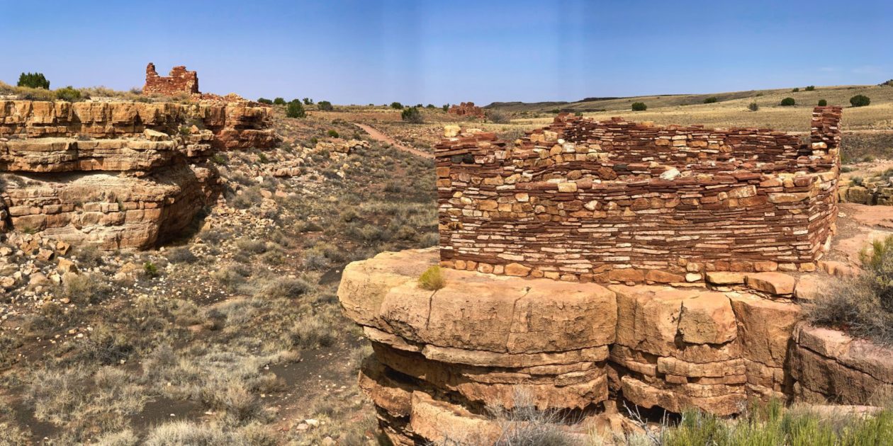
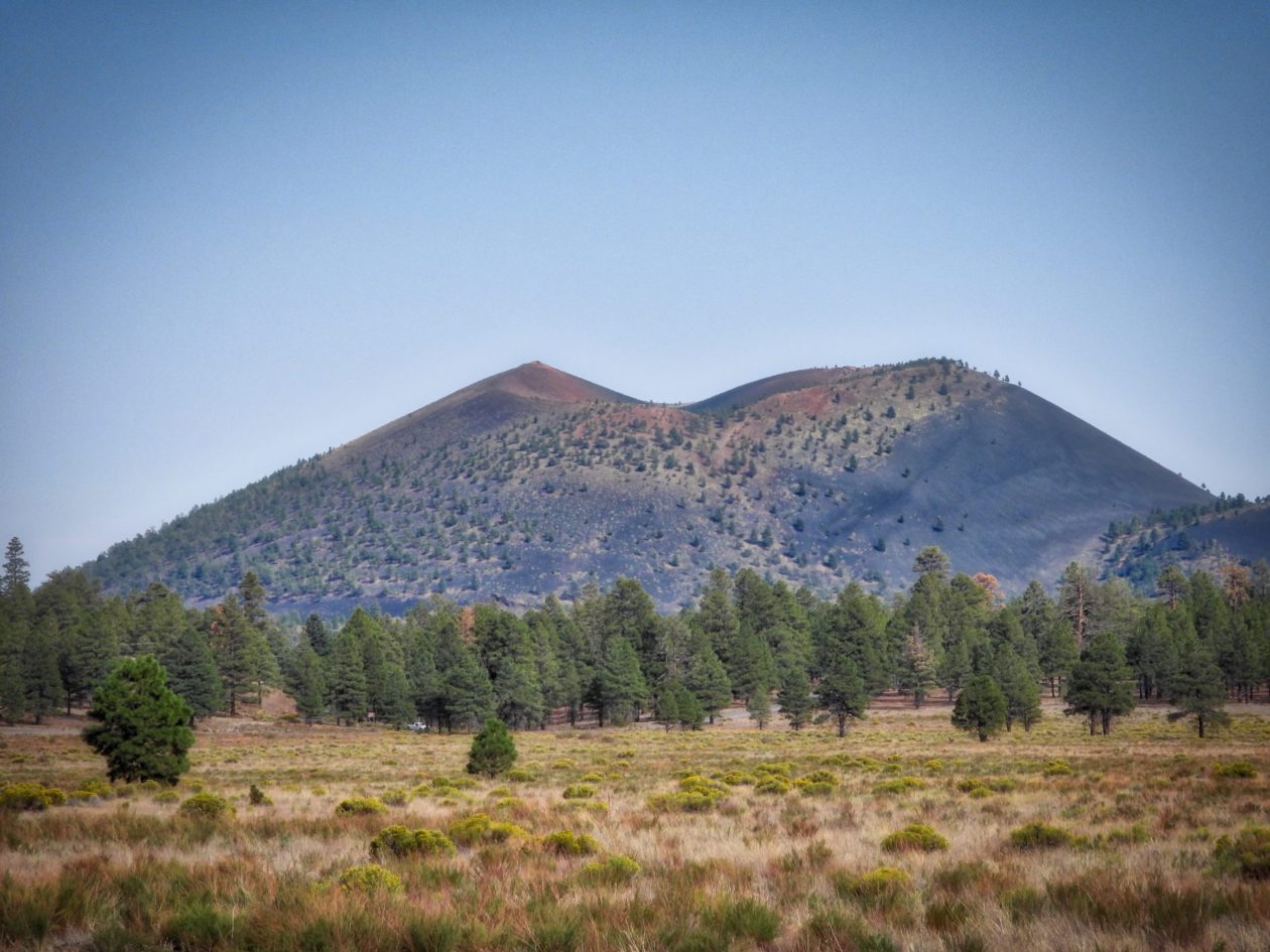
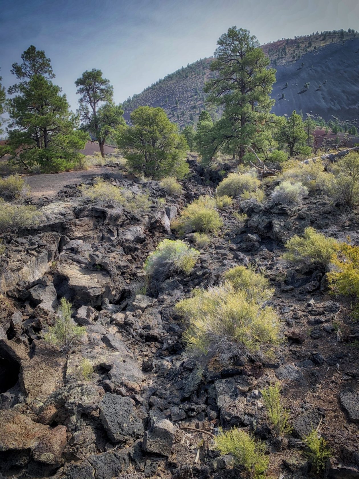
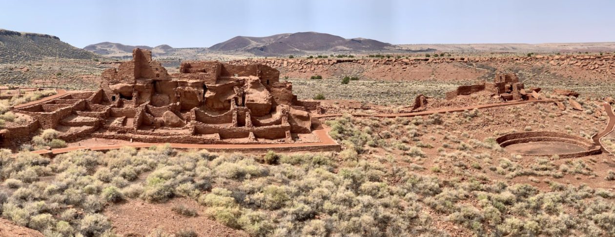
The next day, we visited two adjacent national monuments — Wupatki and Sunset Crater. While very different, they are very closely linked. Sunset Crater is the remains of one of several volcanoes in the area that erupted around 1100 AD. It drove out the native peoples who farmed in the area. But within 100 years, the Wupatki people returned to farm again. Unlike their cliff dwellings neighbors, they formed a community of thousands, living in multi-story pueblos. With the scarcity of water, they became masters of “dry farming.” By building adjacent to arroyos, they could capture and retain water and the volcanic ash preserved the moisture. But ultimately, they too migrated.
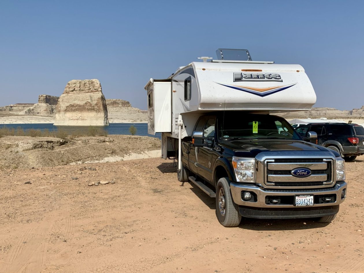
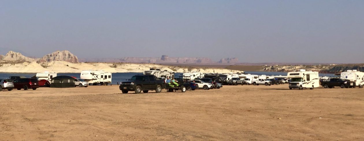
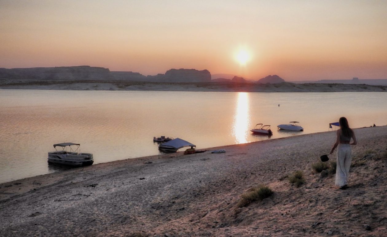
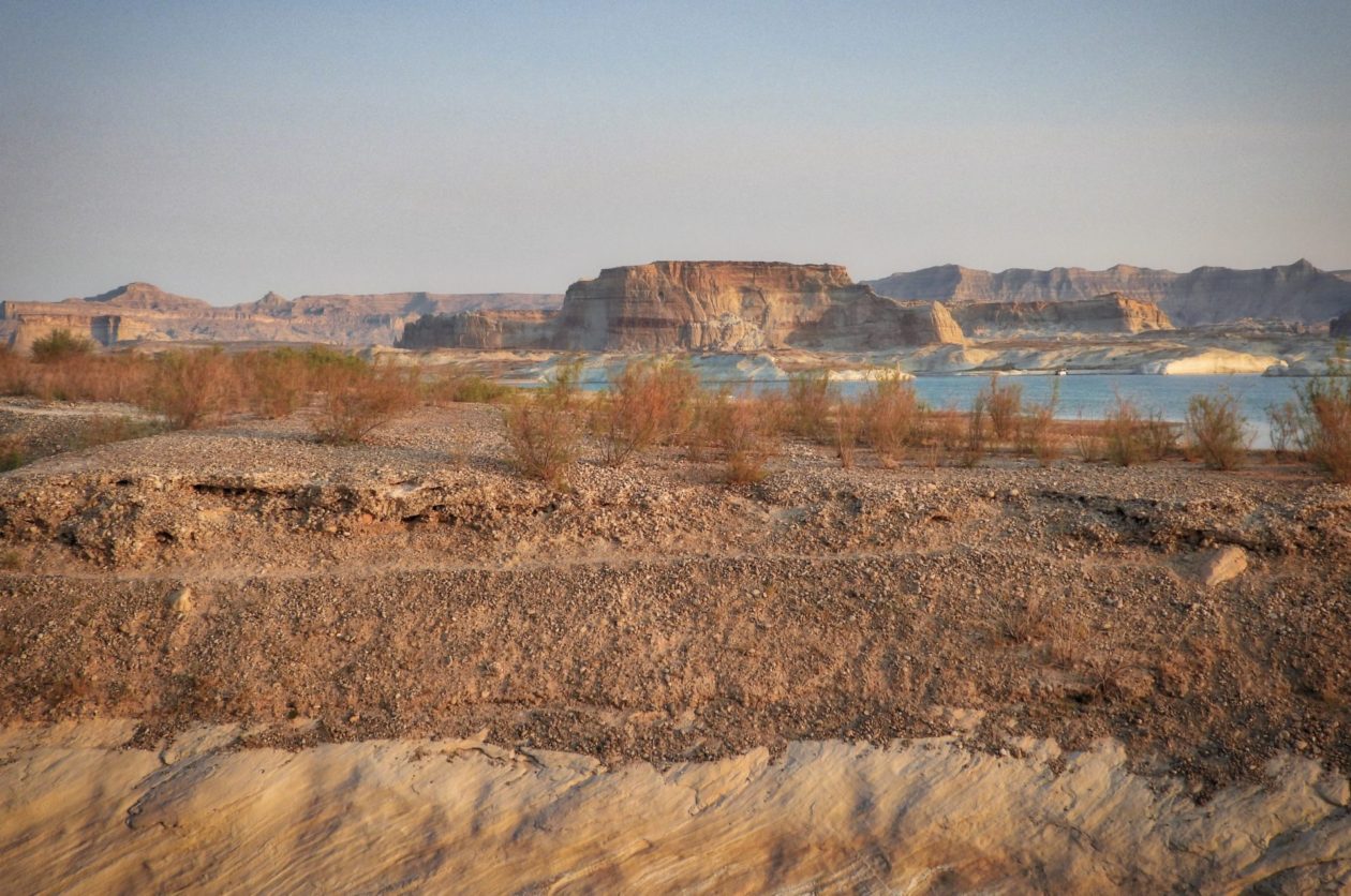
From there we traveled up to Lake Powell for the night. You can park anywhere on the beach, and we had lots of neighbors. But is was really relaxed and friendly. Deb called it Burning Man on the water. From here, we are off to Utah, where we will spend 10 days exploring some of their national parks and monuments with friends.
