- COVID and Fire Tour 2020 — Introduction
- A quick stop at Mt. Rainier
- A short visit to Mt. Hood
- An interesting (and largely eventful) time at Newberry National Volcanic Monument
- Lava Beds National Monument
- Fire Evasion!
- Avoiding Vegas — and loving it!
- Kickin’ Route 66 and the Grand Canyon
- Migration — Communities that share the land on their way to somewhere (like us!)
- Red Rockin’ Utah’s (and a little of Arizona’s) National Parks and Monuments
- The journey home and final thoughts
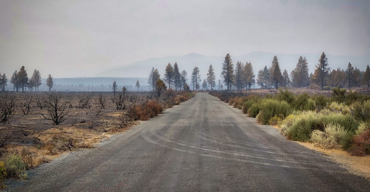
As we headed south from Newberry, the smoke became thicker in nearly all directions. At one point, Deb asked if we were driving into a fire. I suggested that they would have closed the road if that were the case. Having said that, yet another fire broke out yesterday west of where we were staying. We were on our way to Lava Beds National Monument in Northern California. When I first started planning this trip about 1.5 months ago, a lot of this area was being consumed as part of the Caldwell Fire. Ultimately that one fire, that was started by lightning strikes consumed 80,859 acres. We really weren’t sure what to expect when we arrived at the park. It technically was still closed, but there were rangers around and most of the areas were open.
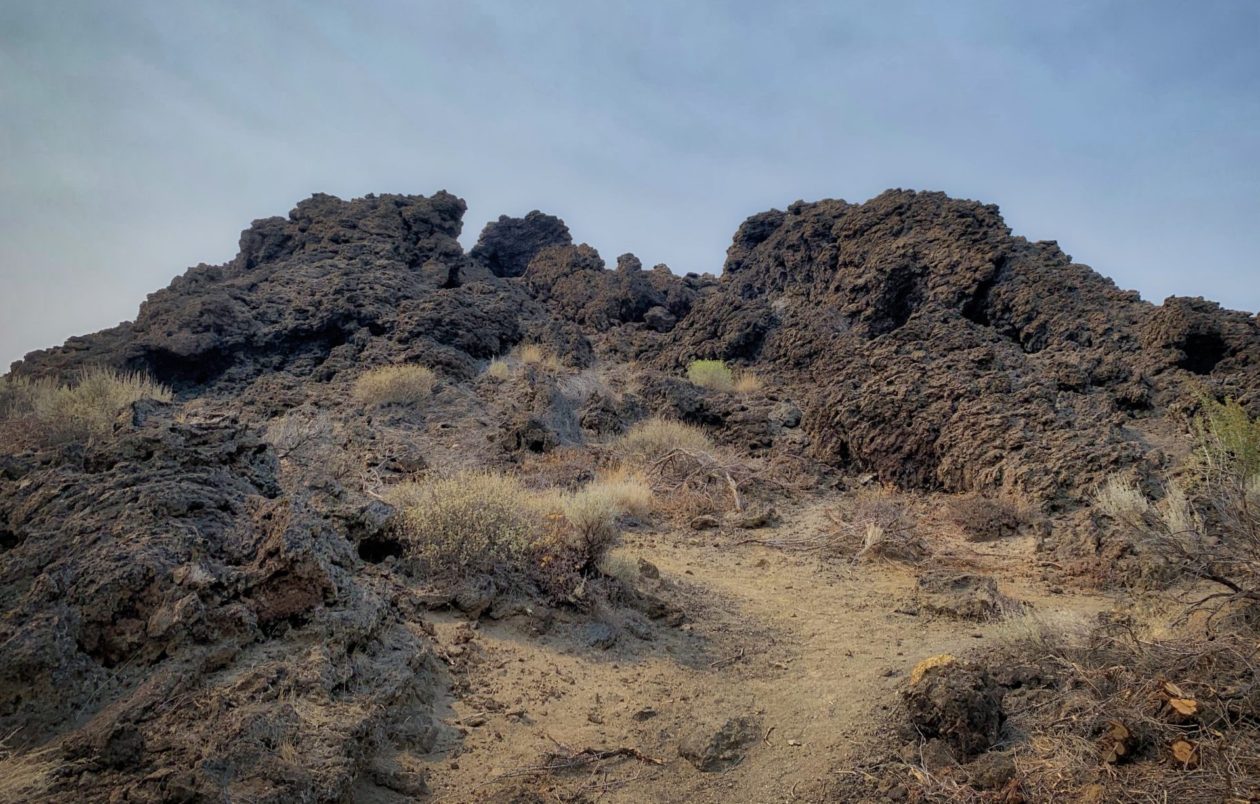
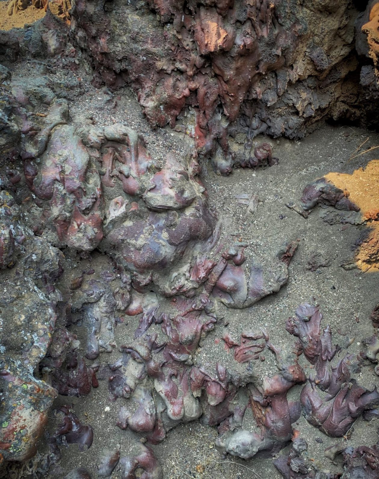
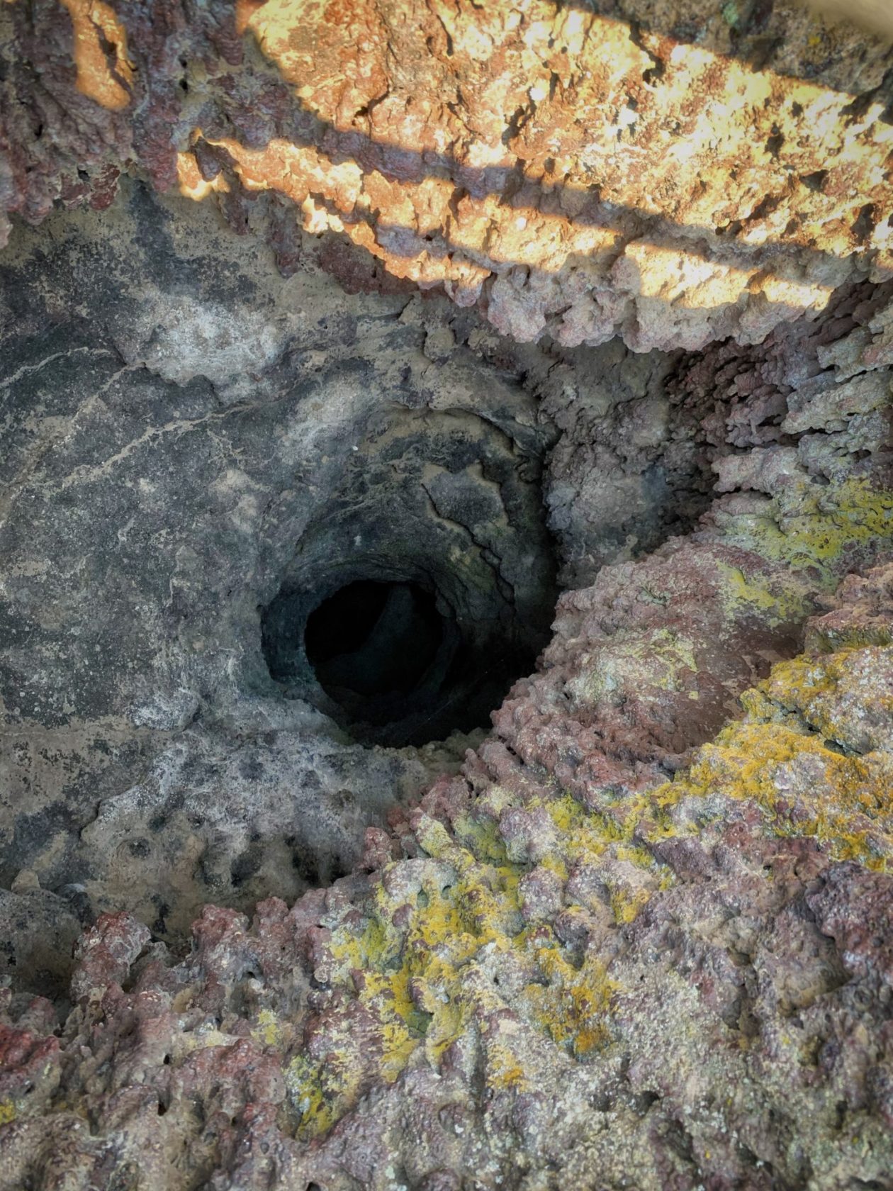
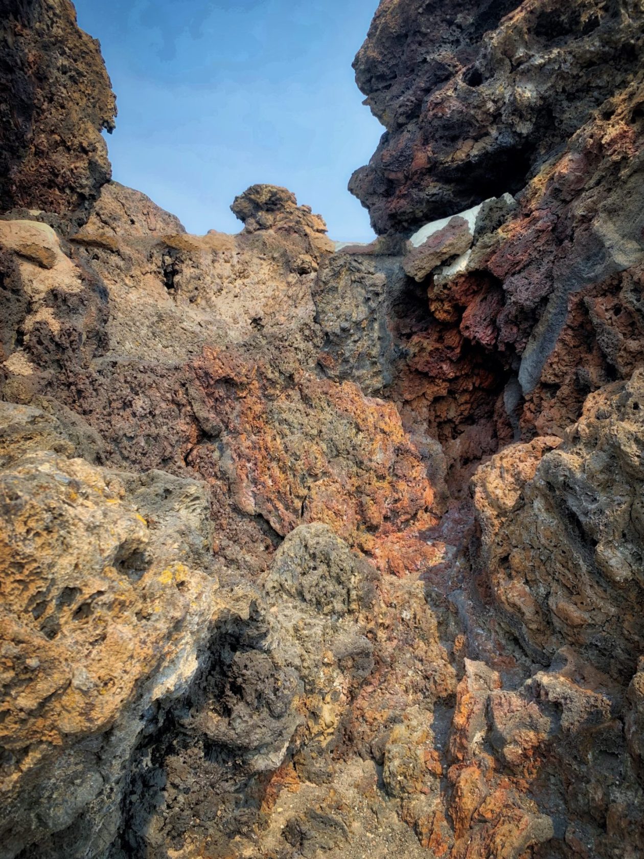
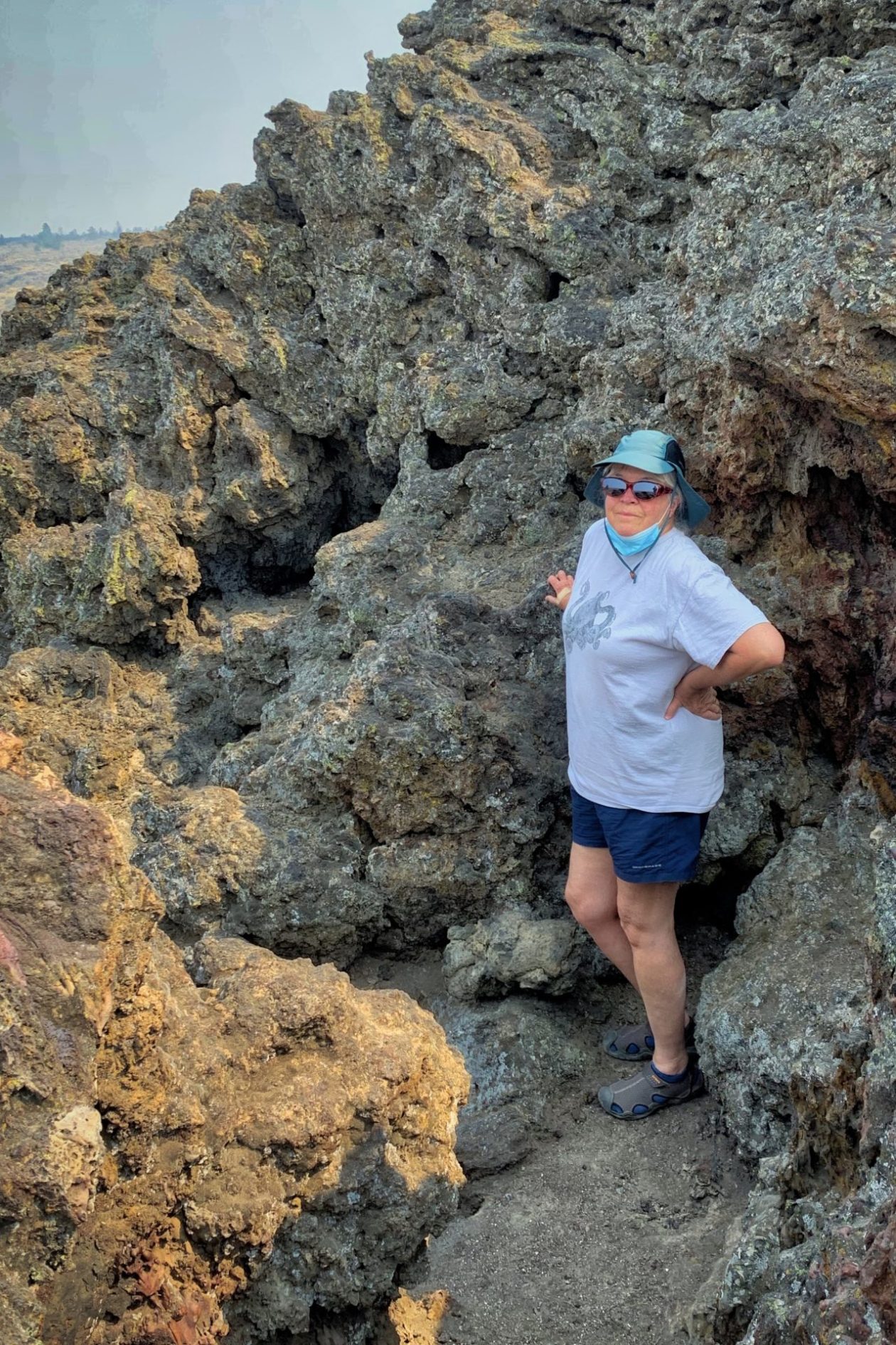
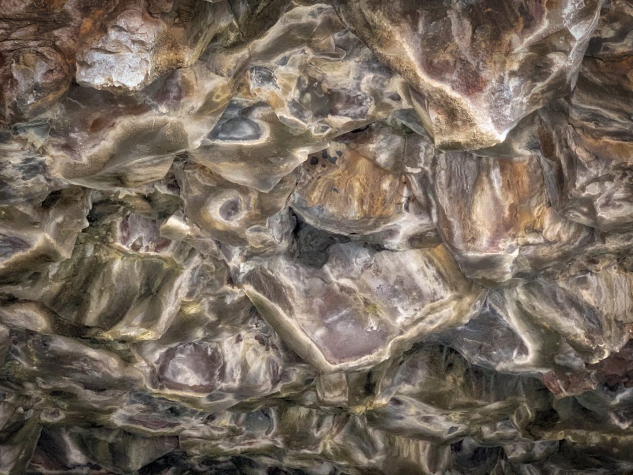
Lava Beds is another “canary in the coal mine” type of landscape. It is on the northern flank of the huge Medicine Lake Shield volcano. While you may never have heard of it, it’s larger in surface area and volume than any other volcano in the Cascade range! But this whole area is on a fault, where the crust is very thin. Over the past two million years, it has erupted periodically and, in fact, helped build Medicine Lake to the size it is. As a consequence, there are lots of lava tubes (that have resulted in a number of interesting caves to explore, and a variety of types of lava, whether in form or mineral content. We started off visiting the Fleener Chimneys which are spatter cones. Of lava that was throw high in the air making big globs that are hollow in the center. Apparently, for years, tourists would through trash down the center to listen for the landing noise. It turns out, they are quite deep but ultimately the NPS funded a project to haul out all the garbage and fill the center holes. Pretty cool!
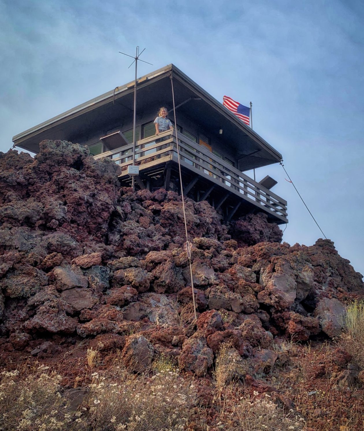
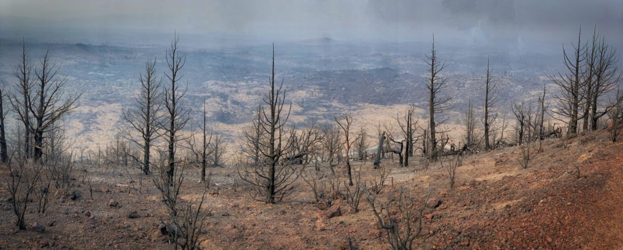
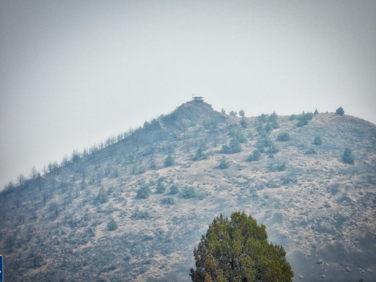
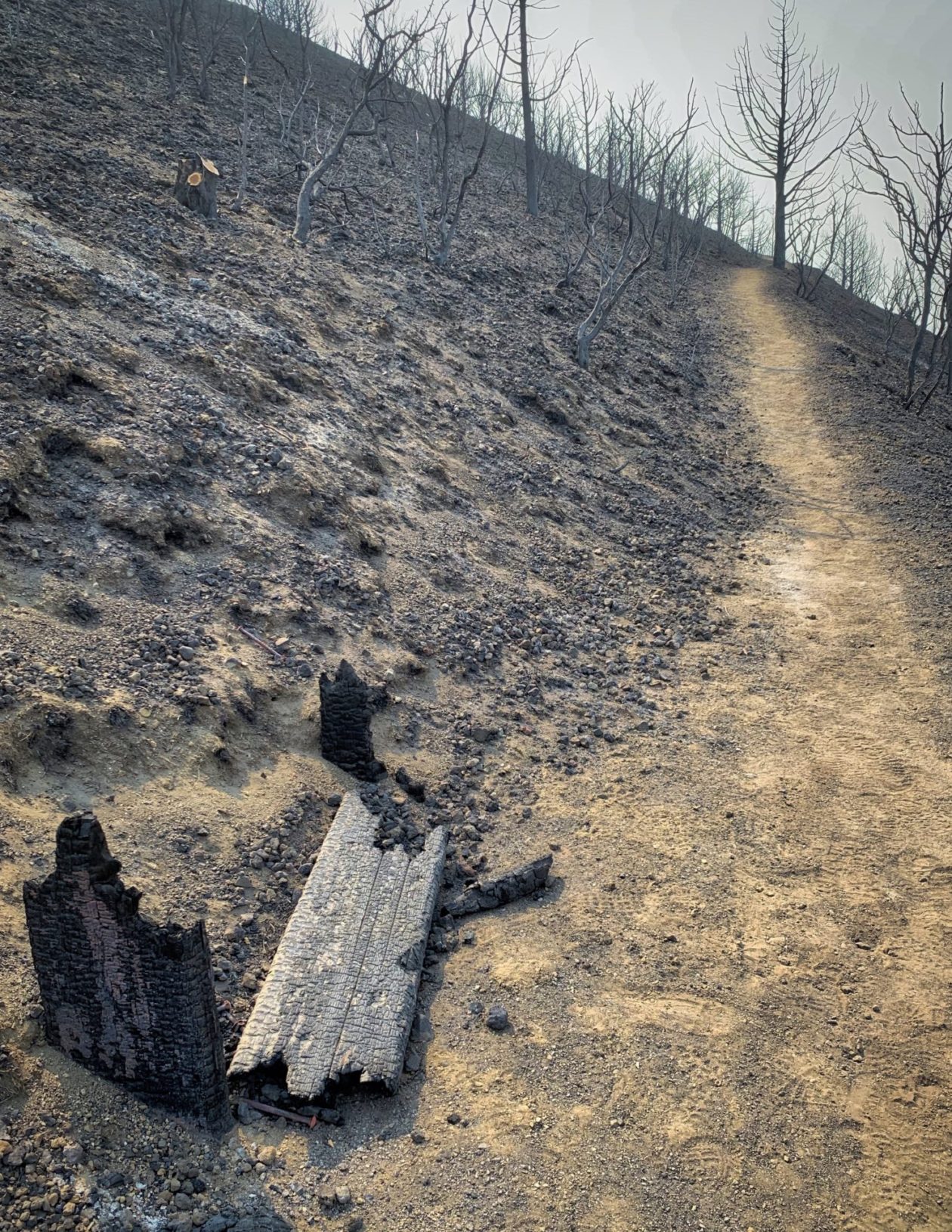
We then went over to Schonchin Butte. It’s one of many of the eruption sites/cinder cones of the Medicine Lake Shield Volcano. It’s about 65,000 years old. Because of its view of all the surrounding areas, it also became and excellent location for a fire lookout station and ultimately, the Civilian Conservation Corps built an amazing structure to perform that function. The trail to the top climbs 500 feet over 0.7 miles up to the lookout. Sadly the July fire passed right through here and everything along the route was burned. But miraculously, the fire touched only one corner of the historic old structure. I chatted with the Park Ranger (who is also a fire watcher). It turned out that she saw the start of that fire. There were lightning storms along the ridge for 3 nights running. That would normally only end up burning a few hundred acres. But in this case, the wind picked up — peaking at about 65 mph! She was evacuated and about 12 hours later, the fire came across the butte. At one point they measured that the fire traversed 4 miles across the ridge in 6 minutes! Walking back down the trail I was amazed at the amount smoke all around and the ash all over the ground (the fire burned very hot).
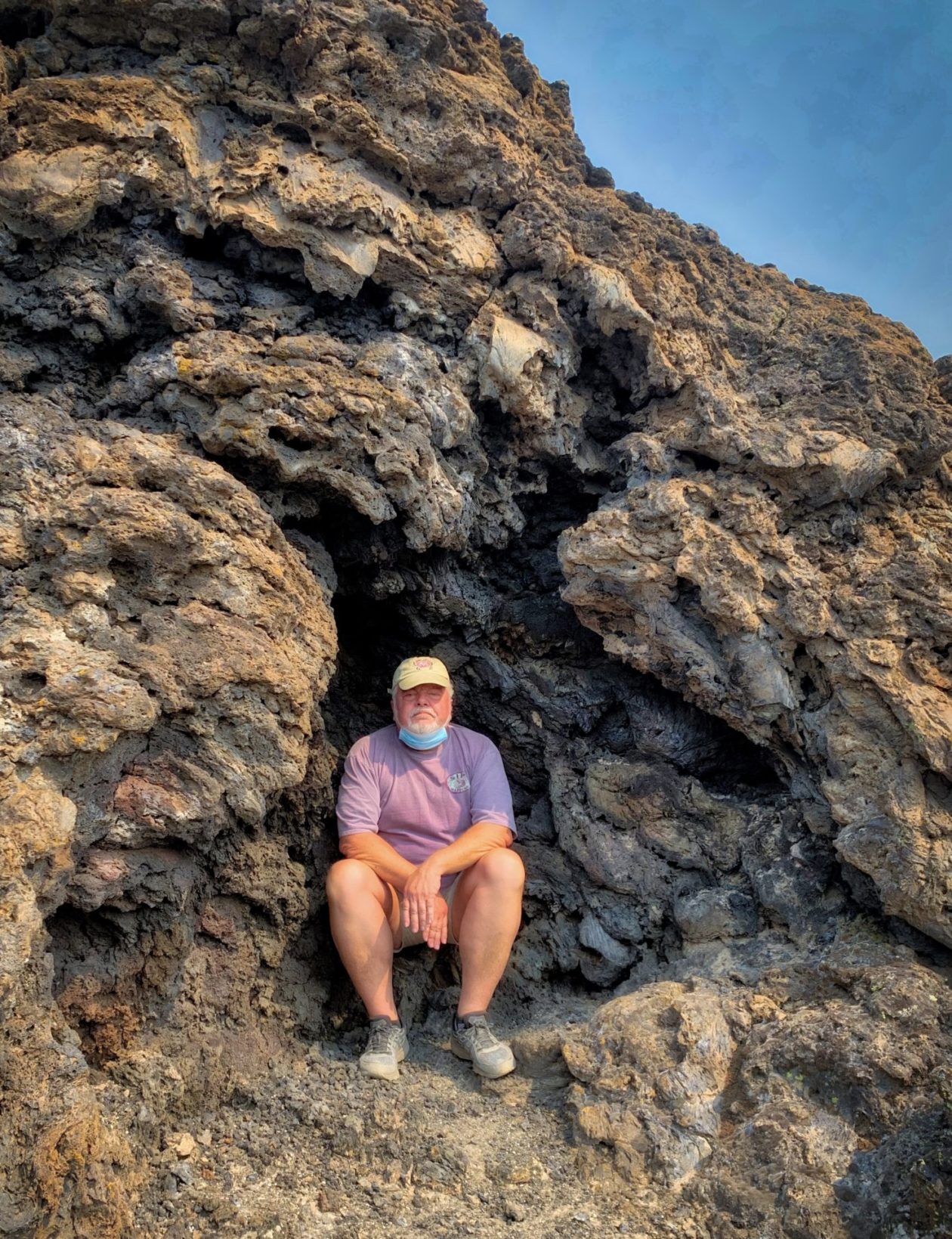
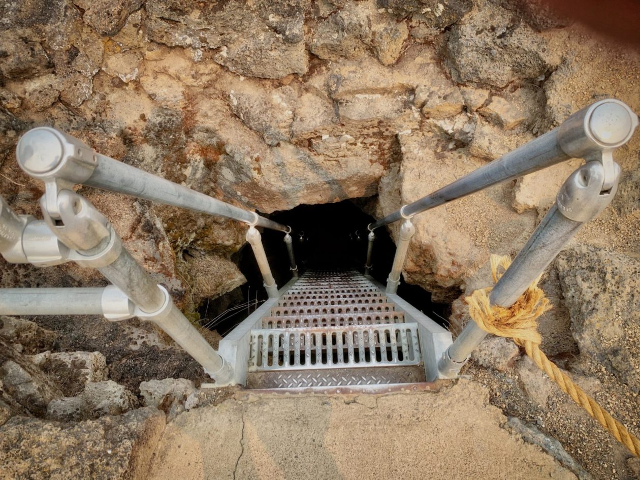
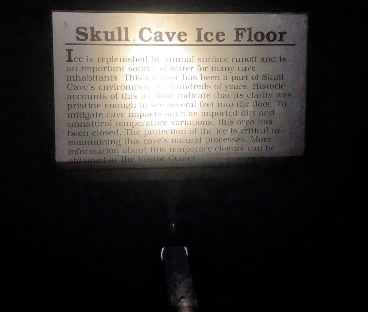
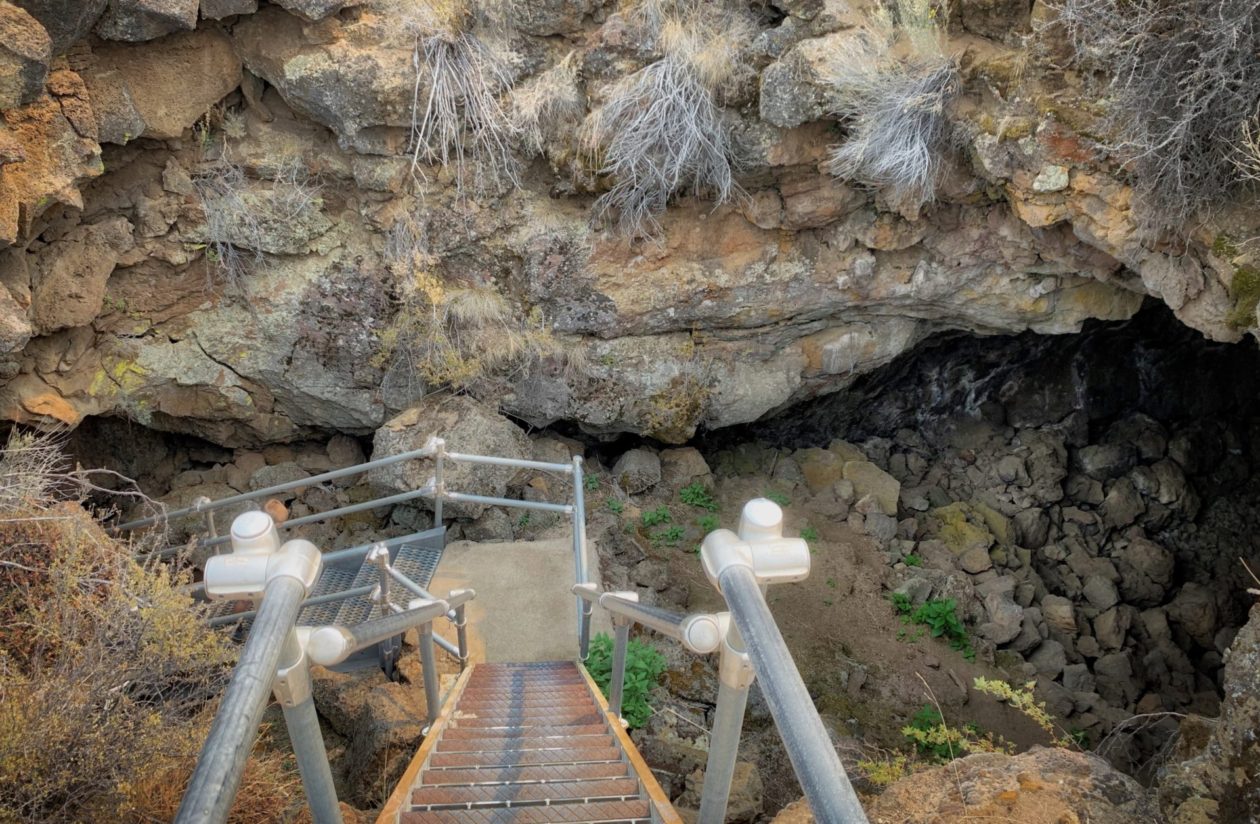
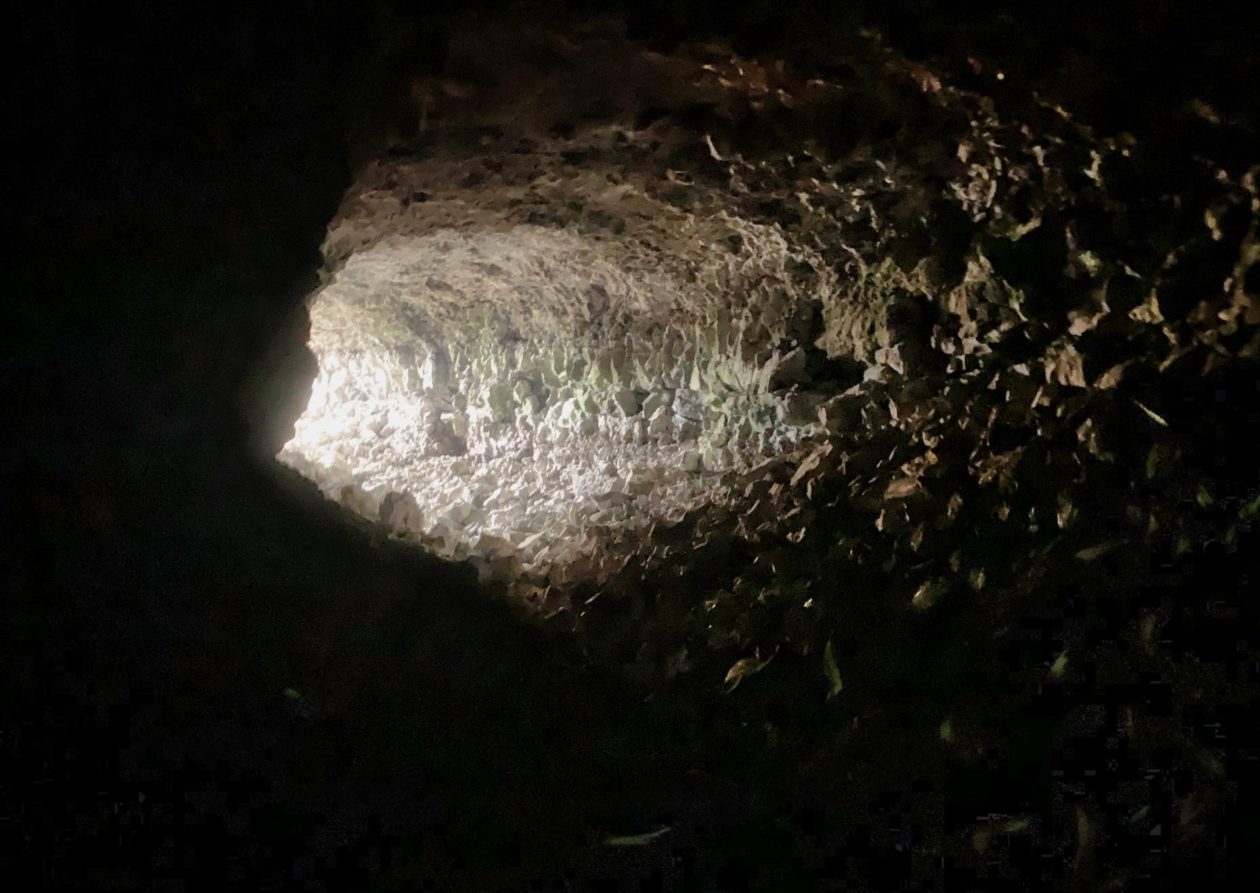
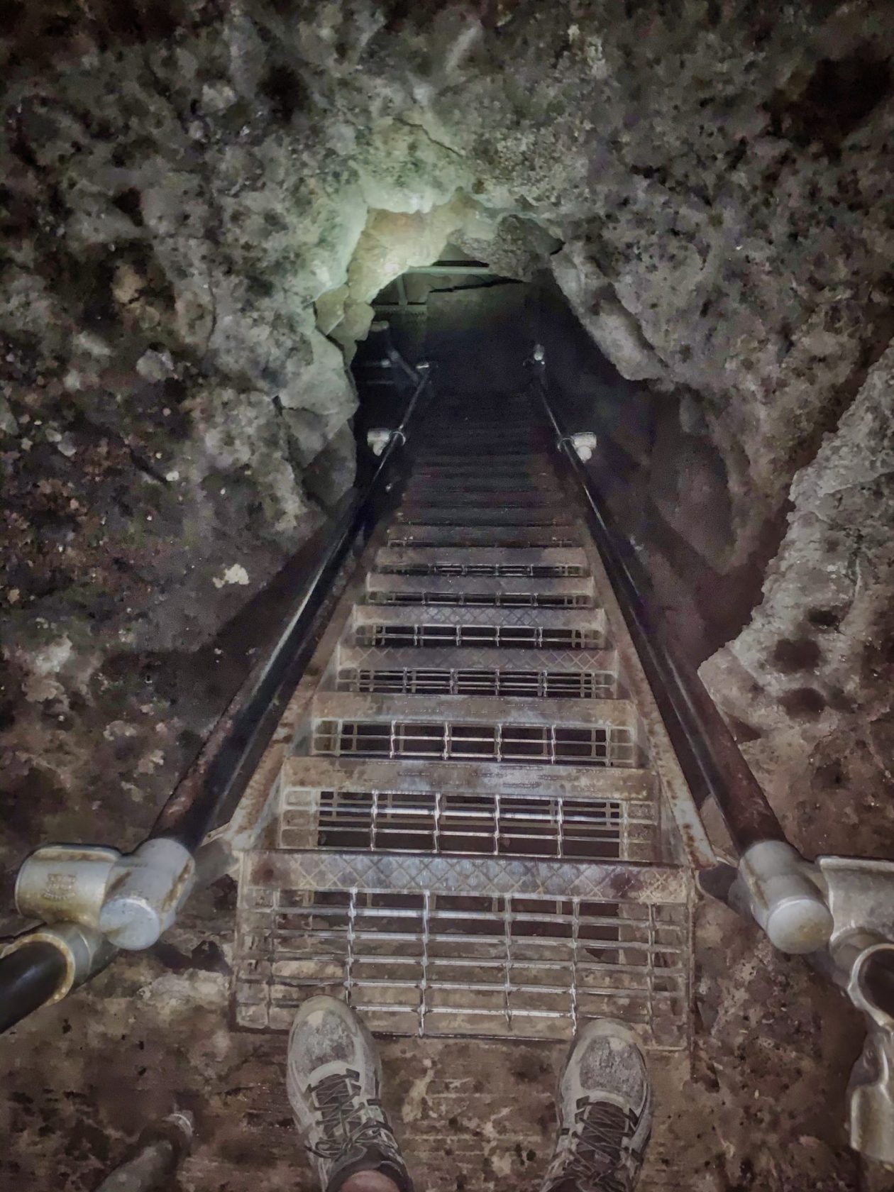
The next morning, we went to the visitors’ center to check in before we tried some of the caves. On the way in, we were struck with the exigencies of fire — where it goes and where it doesn’t. We were amazed at vegetation being totally burned on one side of the road and largely untouched on the other. In addition to fire, the rangers are also concerned about white nose fungus for the bats in their caves. Consequently, in order to visit the caves, you had to go through the shoe wash and then get a pass. Even with that, many of the caves and other attractions were closed due to damage from the fire. We ended up visiting a couple of the caves Skull Cave (so named because of the large number of animal (and a few human) bones found in there and Merrill Cave, named after an entrepreneur who set up a resort there where you could descend into the cave and ice skate by lantern light at the bottom of the cave. And yes, it is true that the bottom of these caves trap winter air and create icy conditions. Having said that, since 2000 the amount of ice has shrunk dramatically. When I was down in Merrill’s Cave the most ice I saw was on the hand railings. I should comment on what it is like to go caving here. Entrances can be very narrow and steep and there is virtually now light in the caves. Even with a flashlight, I whacked my head a few times. Steps going down can be nearly vertical and go through narrow passages. And that is where I drew the line. We met some people at our campsite who ventured into some of the caves on hands and knees, but quit when you had to crawl on your belly. I’m not claustrophobic, but that doesn’t even remotely interest me.
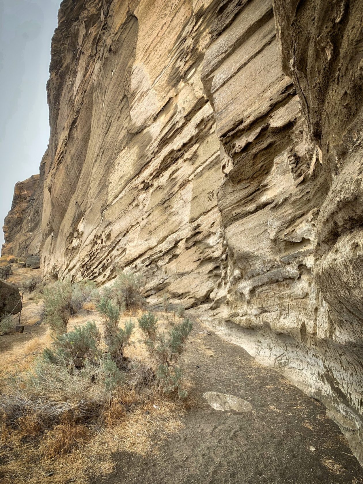
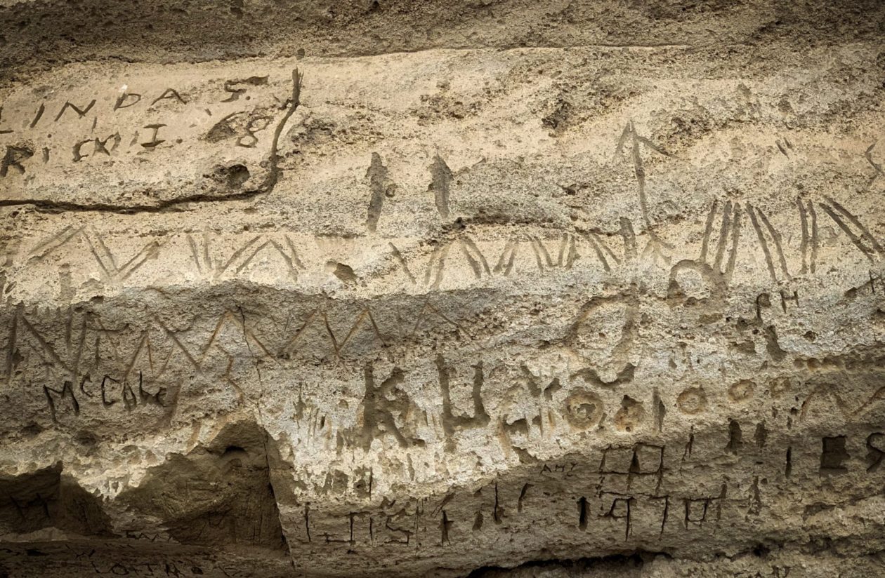
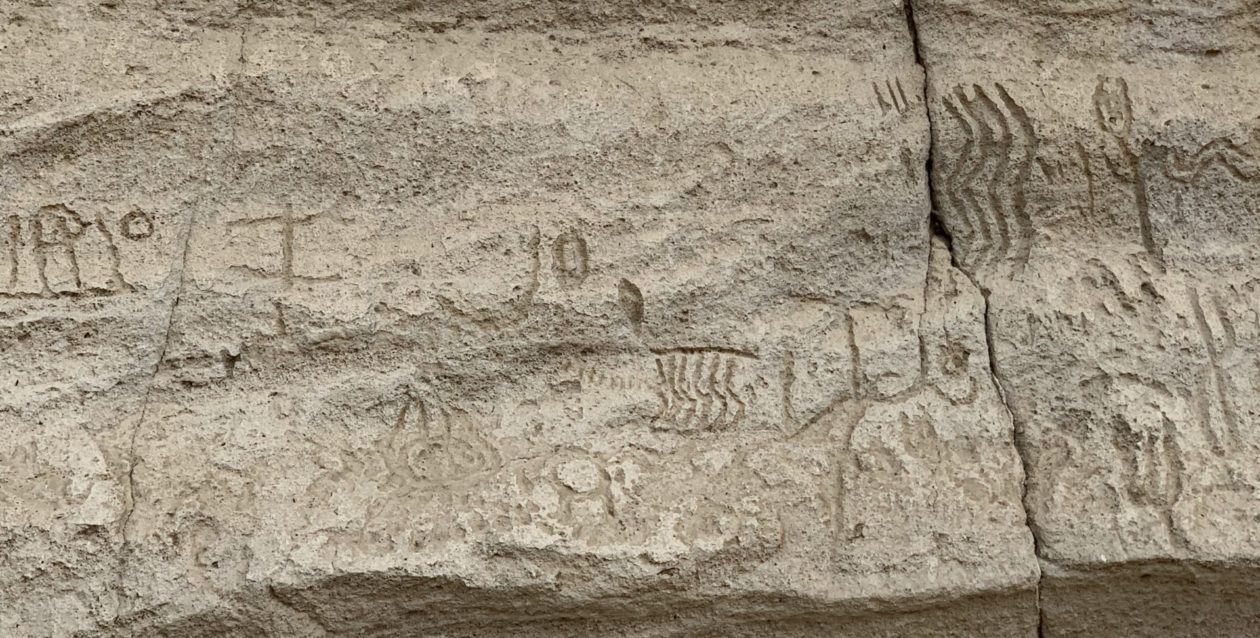
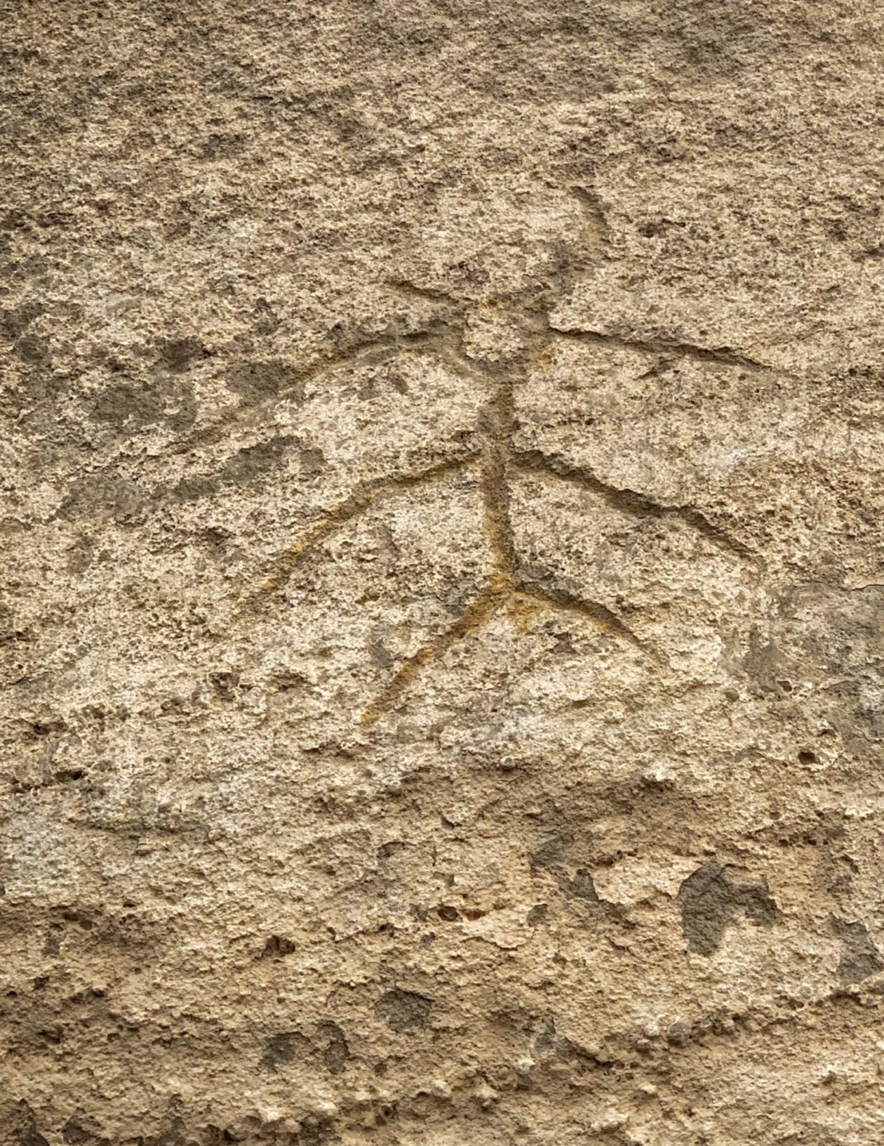
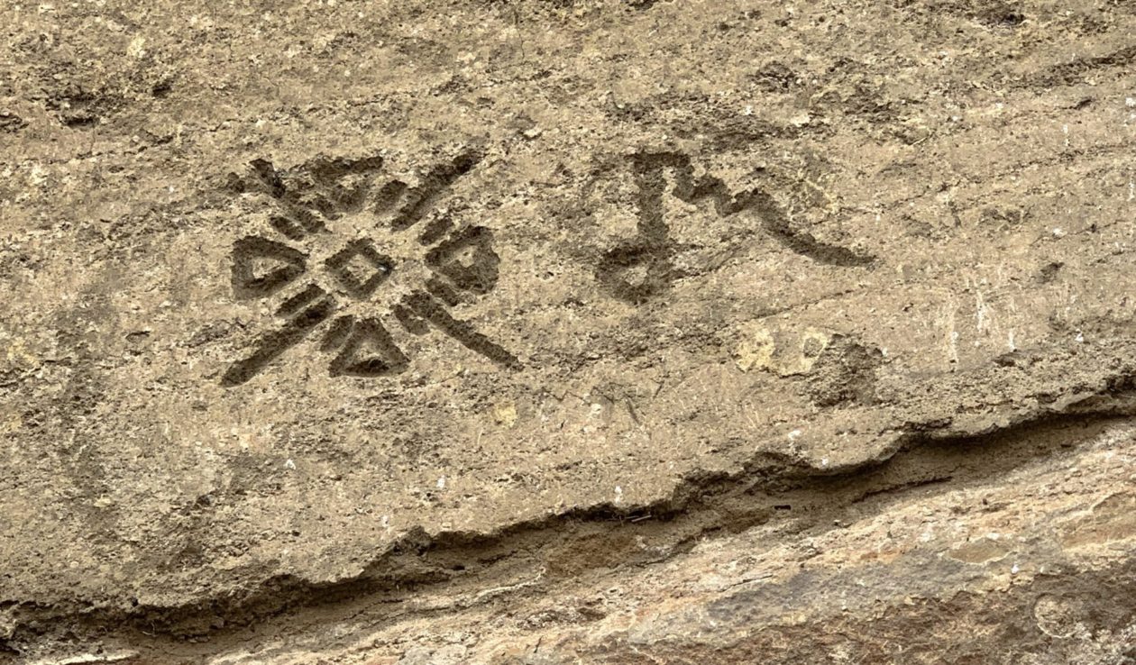
From there, we went to the other side of the park to visit Petroglyph Point. This whole area was once an island and the native Modoc people carved their creation story and many other things in the volcanic tuff that marked the area. The petroglyphs date back to at least 4500 years ago. We have seen a lot of petroglyphs (especially around the Southwest US) and were somewhat stumped by these. They are quite different than others we have seen, although there are still animal, humanoid, and geometric figures. Some were easy to suss out; others not so much.
Anyway, we really enjoyed out time at Lava Beds despite the fire damage and smoke.. Now we are heading down to Lake Tahoe as a quick stop on our way down to Devil’s Postpile National Monument.
This entry was posted in California, National Park/Monument, Travel, United States