- COVID and Fire Tour 2020 — Introduction
- A quick stop at Mt. Rainier
- A short visit to Mt. Hood
- An interesting (and largely eventful) time at Newberry National Volcanic Monument
- Lava Beds National Monument
- Fire Evasion!
- Avoiding Vegas — and loving it!
- Kickin’ Route 66 and the Grand Canyon
- Migration — Communities that share the land on their way to somewhere (like us!)
- Red Rockin’ Utah’s (and a little of Arizona’s) National Parks and Monuments
- The journey home and final thoughts
From Lake Powell, we made the quick trip into Utah to begin a 10-day visit to five of the state’s national parks and monuments. We had been to some of these before, but this time we were going with friends and we had more time to explore the parks more fully.
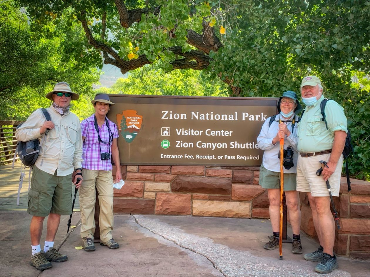
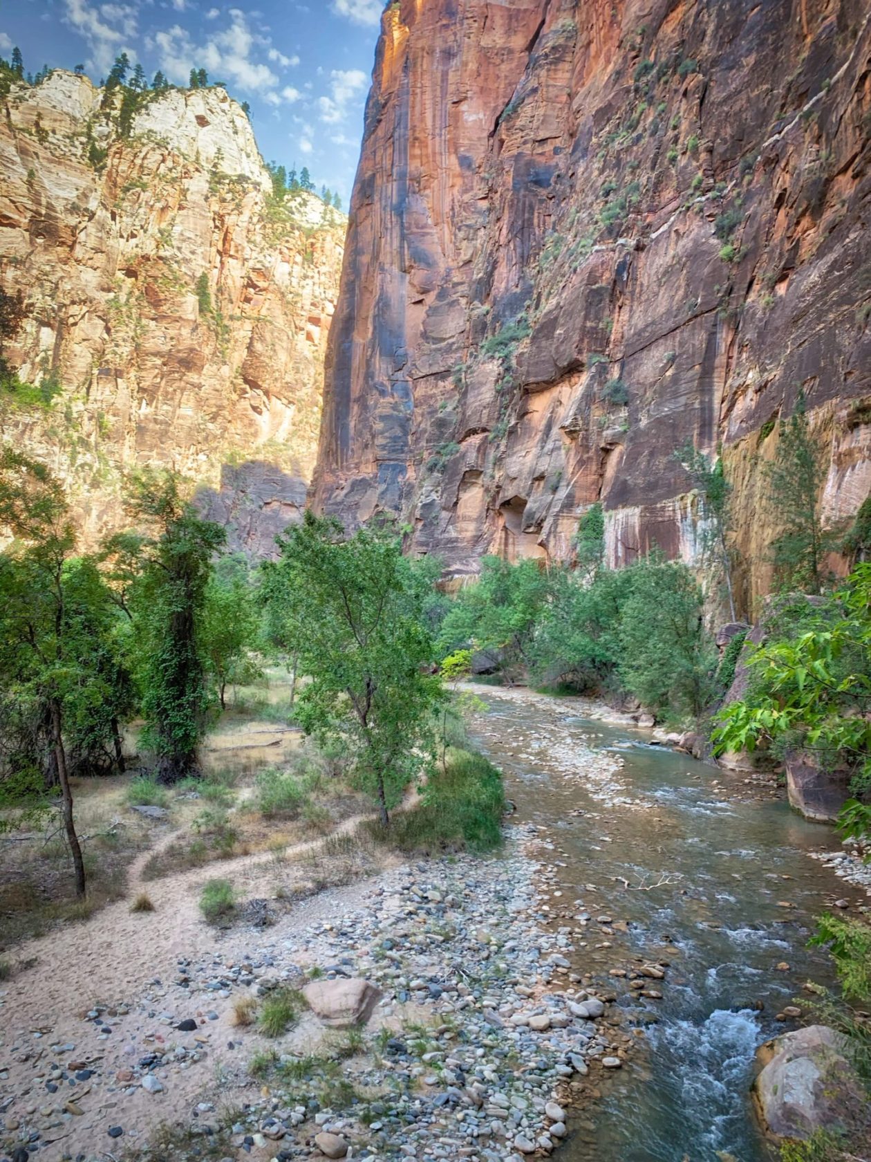
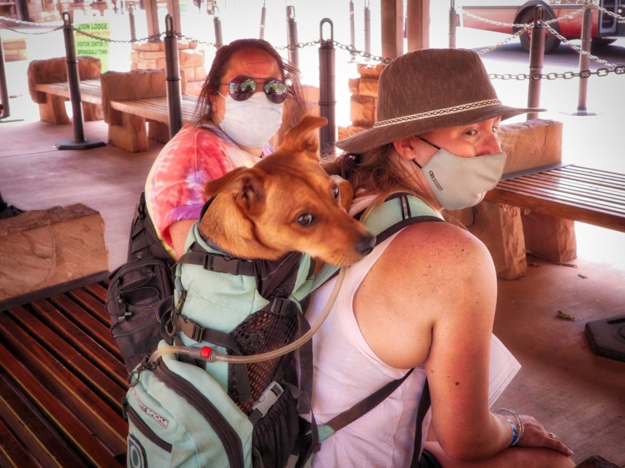
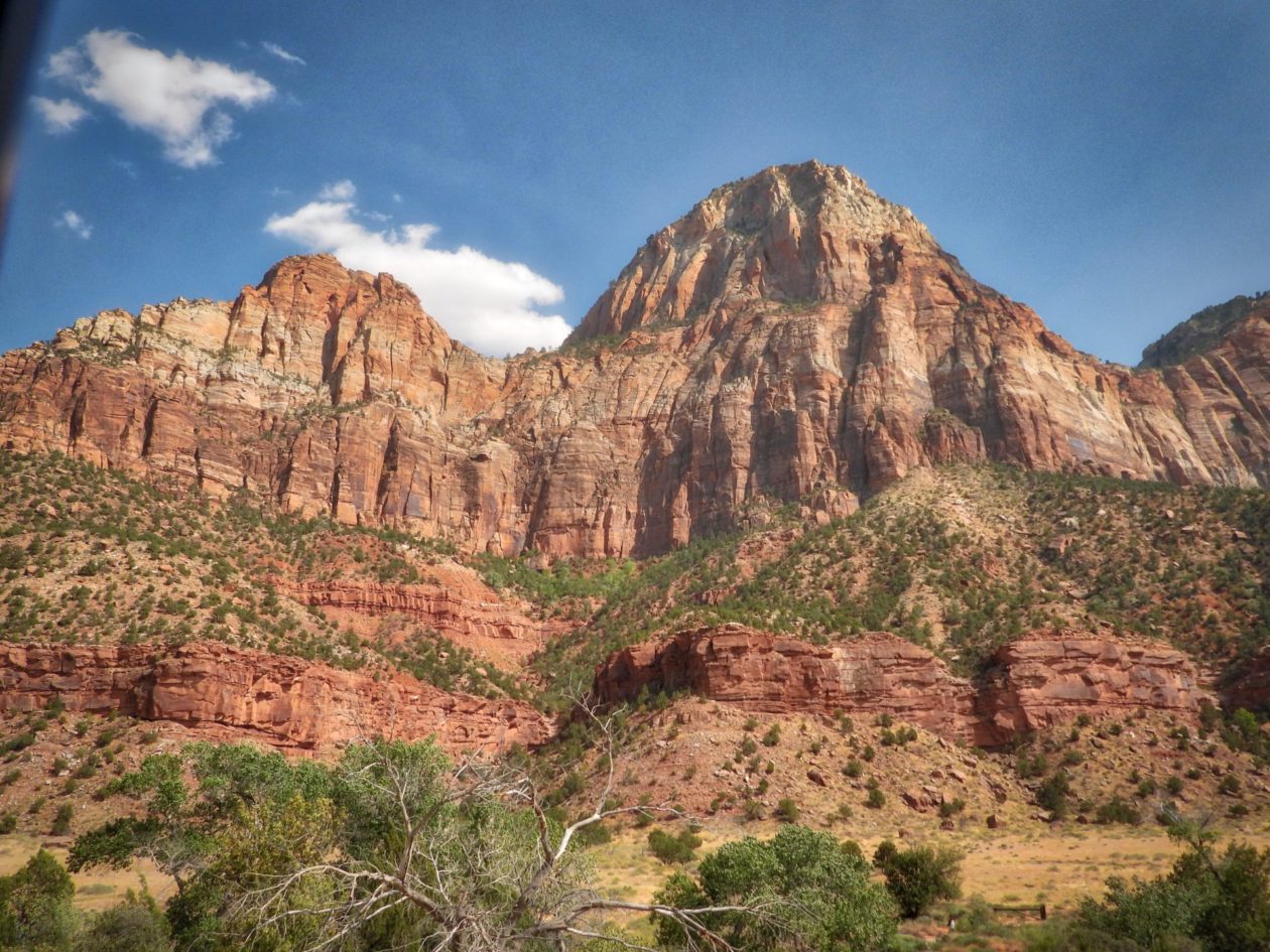
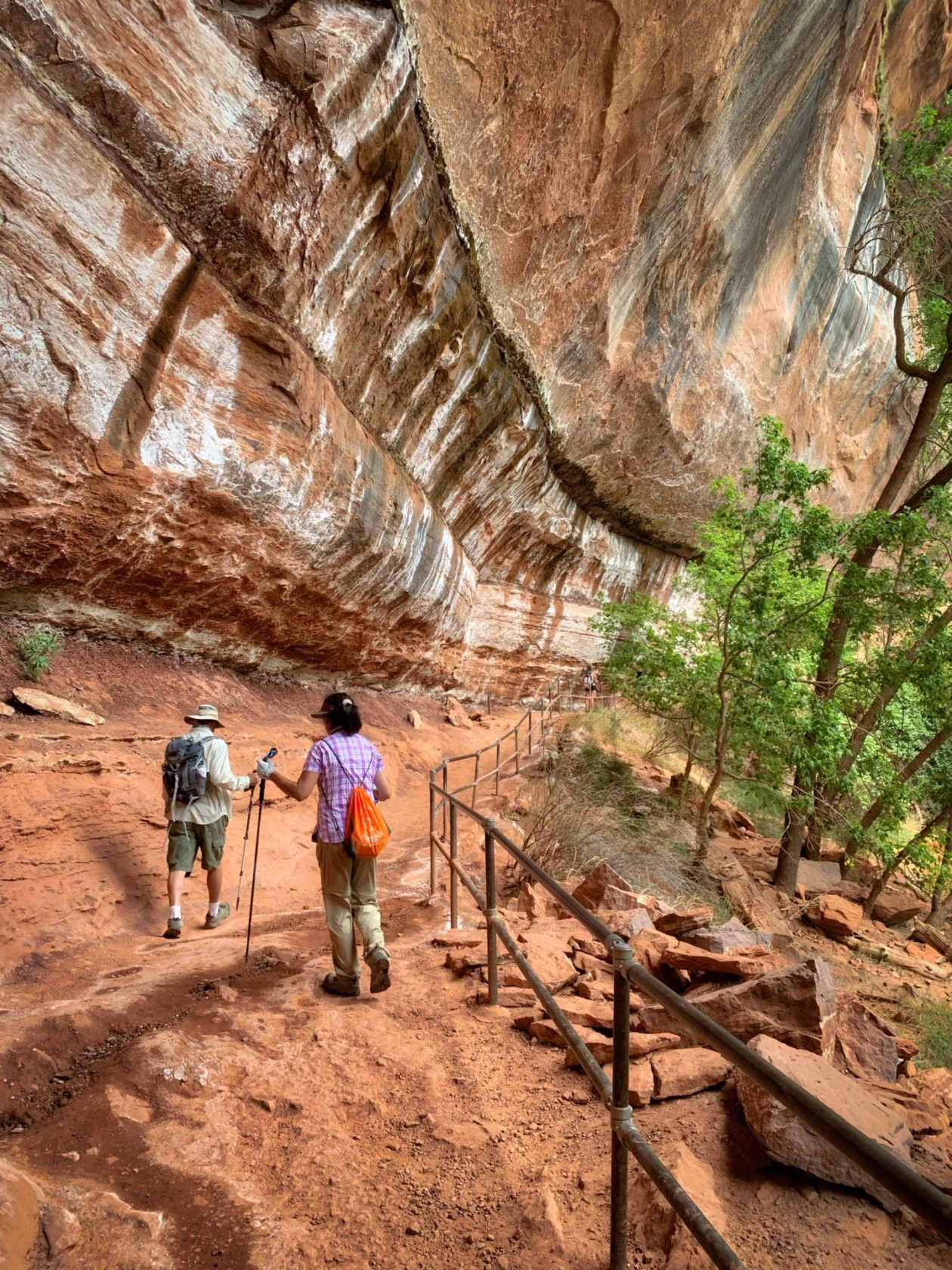
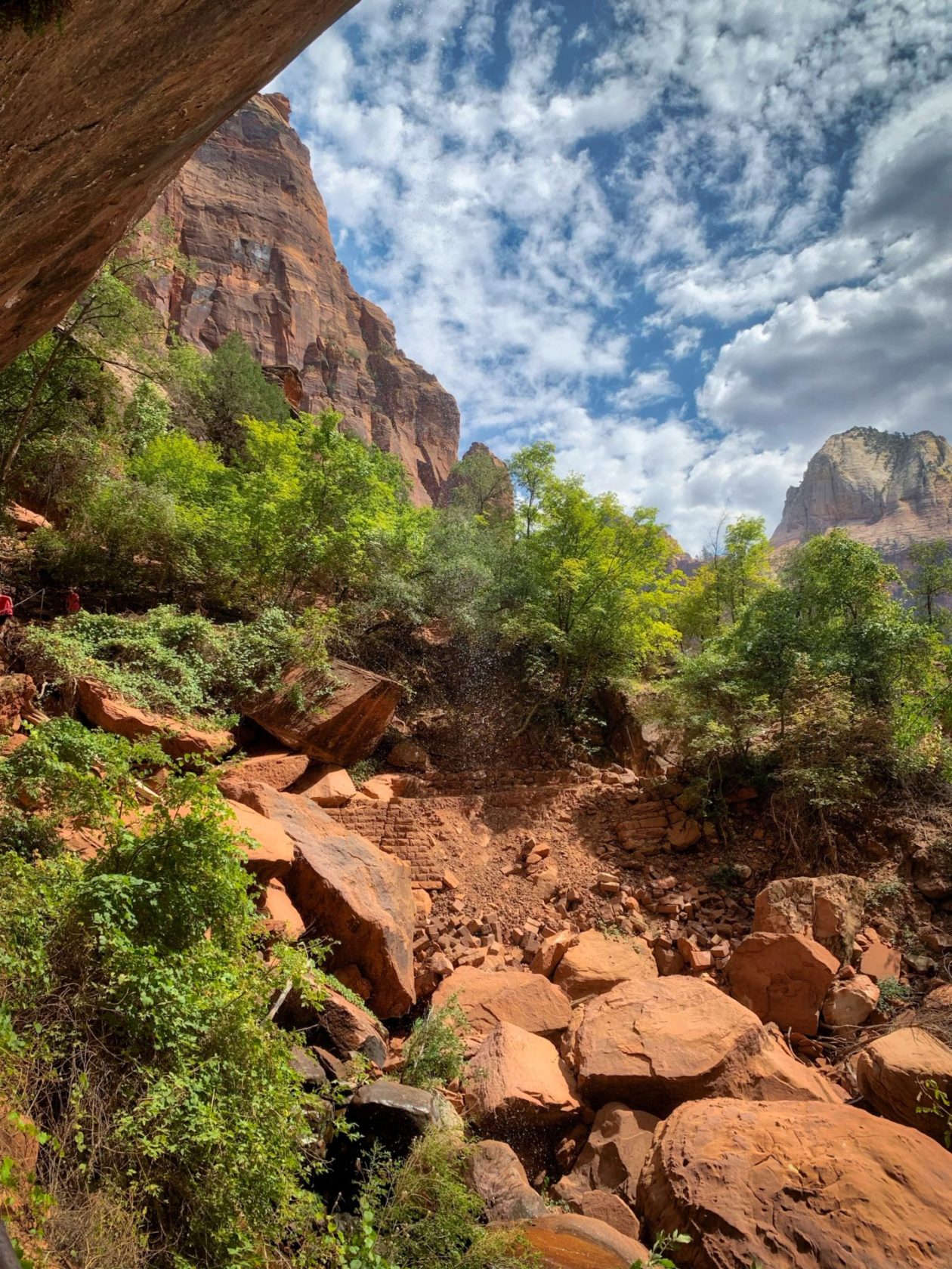
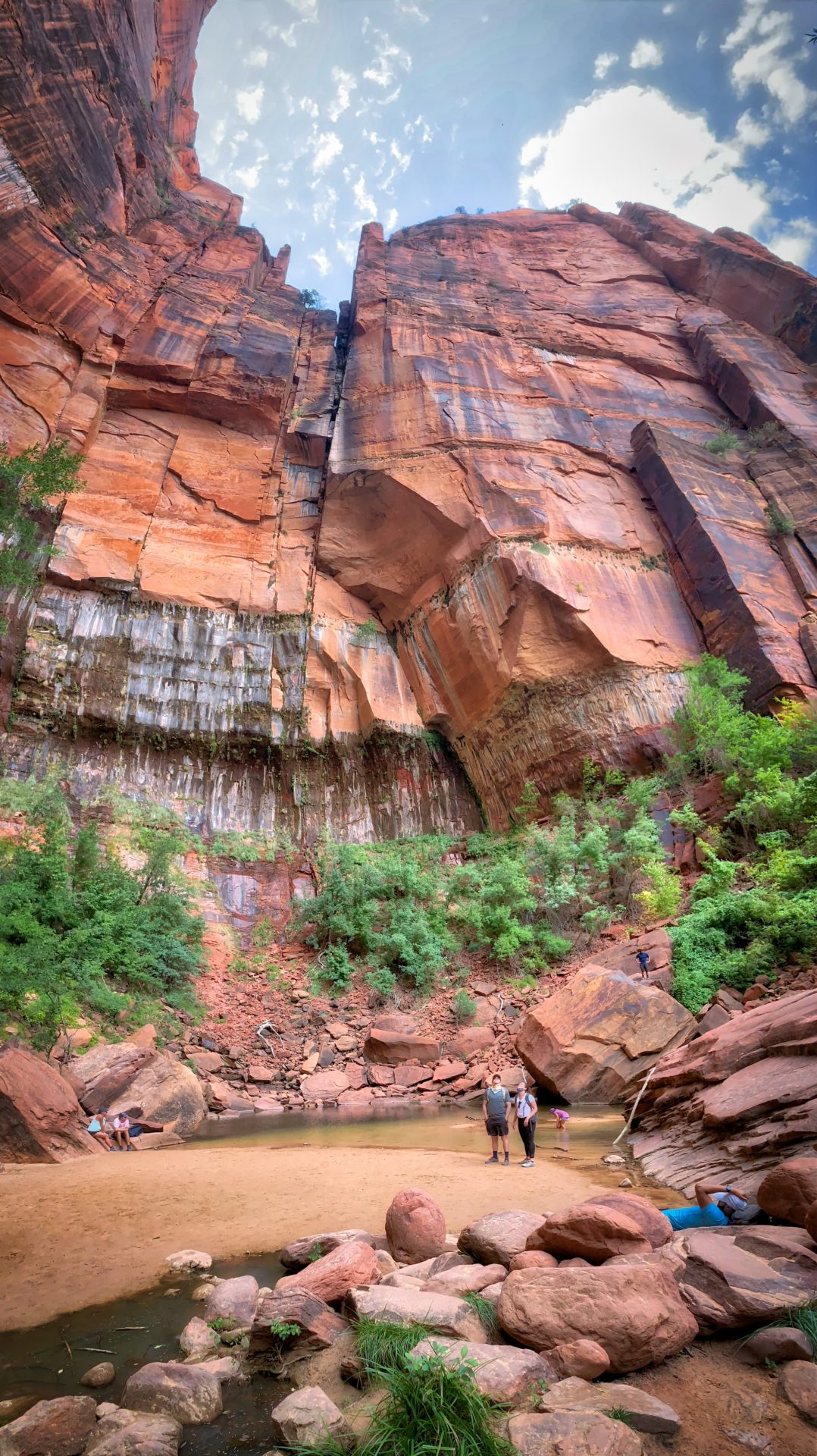
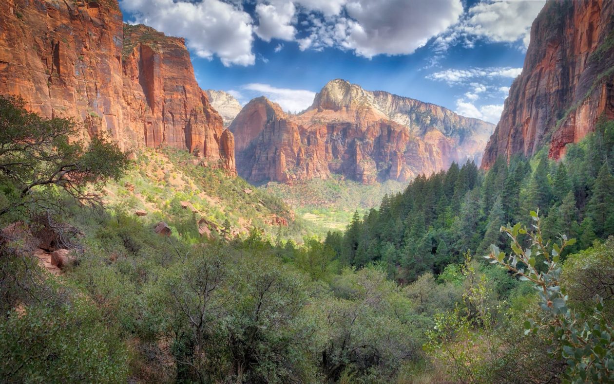
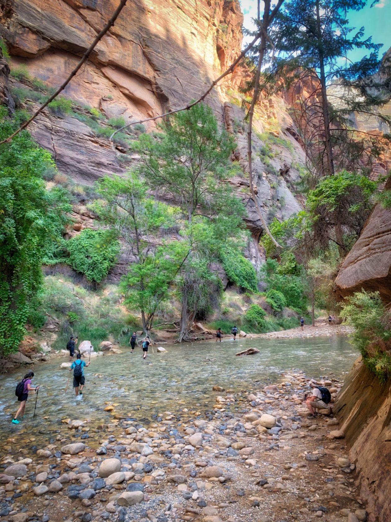
We started our visit at Zion National Park, Utah’s first national park, and clearly one of the crown jewels of all the US National Parks. And you can see why — amazing vistas; massive sandstone cliffs of colors ranging from cream, to pink, to red; and widely varying terrain that allows access to visitors of all types. It’s canyons, cliffs, and towers demonstrate the amazing power of water — they were all carved from the flow of the Virgin River over a two million year period. And the other description I could add here was “packed!” This was the most crowded national park we had visited up to this point, whether at the visitors’ center, the shuttles of the trails. Shuttle tickets were standby only if you weren’t lucky enough to score an online reservation (we were) and lines were long. In response to COVID-19, the rangers did their best to maintain social distancing and encourage mask usage, but the response from the visitors was decidedly mixed. We spent a lot of time on trails just standing to the side to let maskless people get by (of course, we were also taking breaks from some of the steep climbs we were doing. I would say that our two favorite hikes were the Narrows and the newly restored Emerald Pools Trails (Yay, the backlogged maintenance effort that had been held up by budget shortfalls is now underway!). In the former case, the ability to hike up into the water of the Narrows was discouraged because of a toxic cyanobacteria bloom there, but lots of people ignored the warnings and went in. This is a neurotoxin — let’s see what happens in a few weeks when their brains turn to mush…. Anyway, it was also great to reconnect with our friends. They stayed at a hotel in the same complex so we got to spend a lot of time with them.
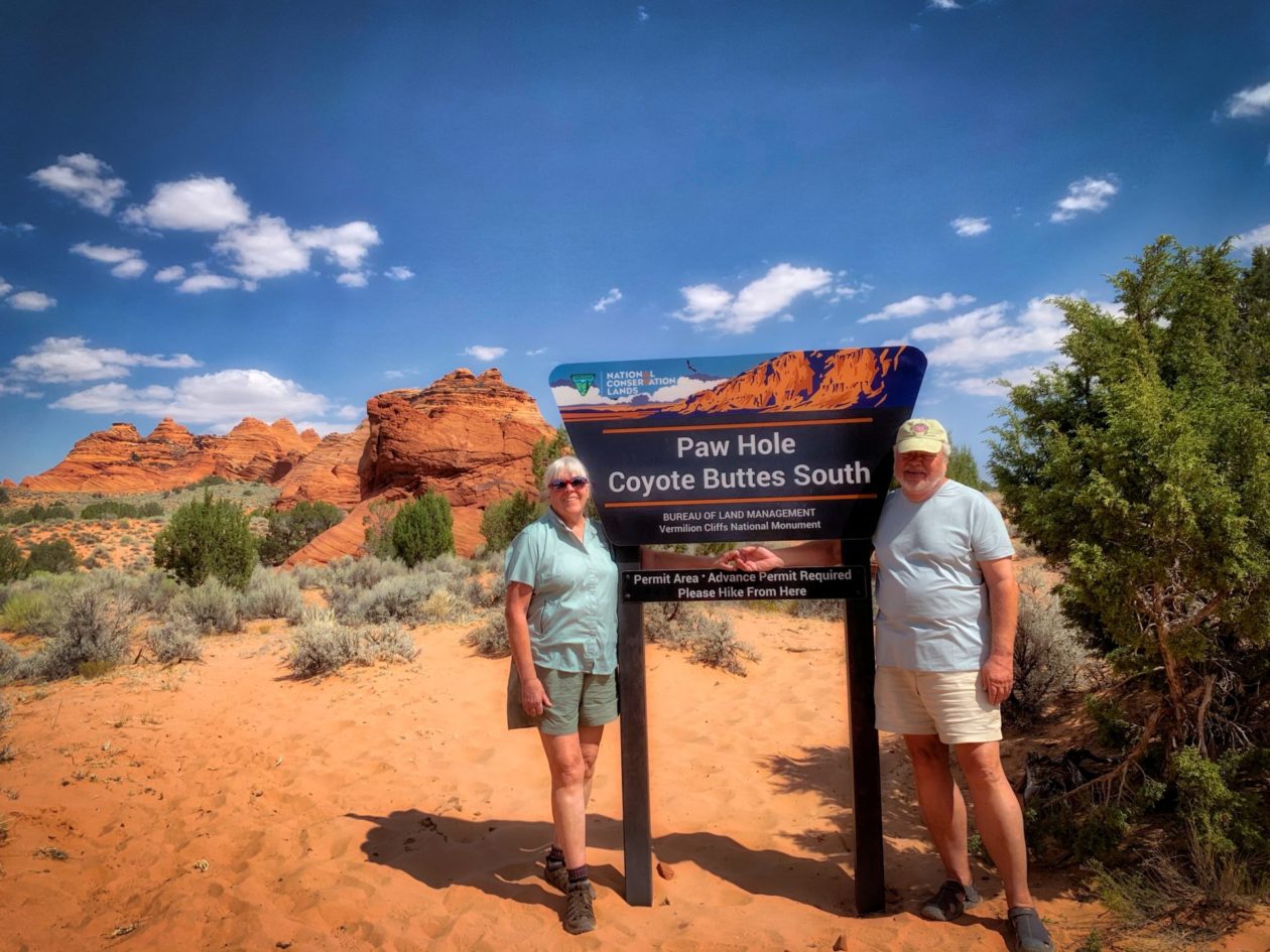
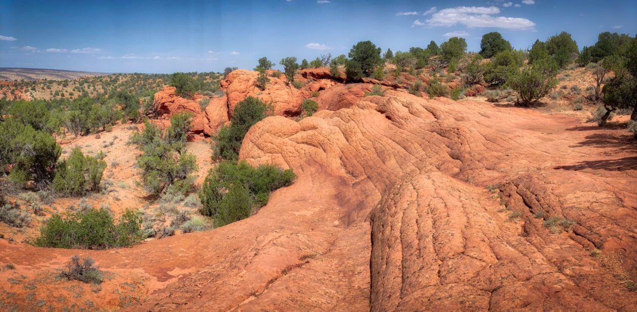
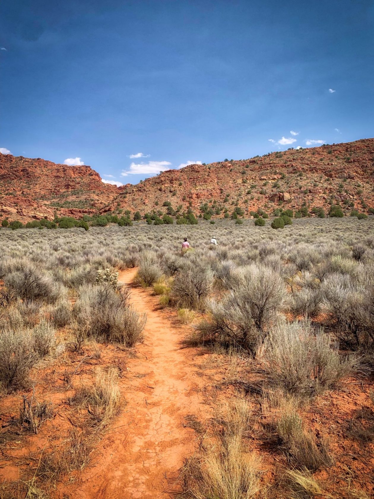
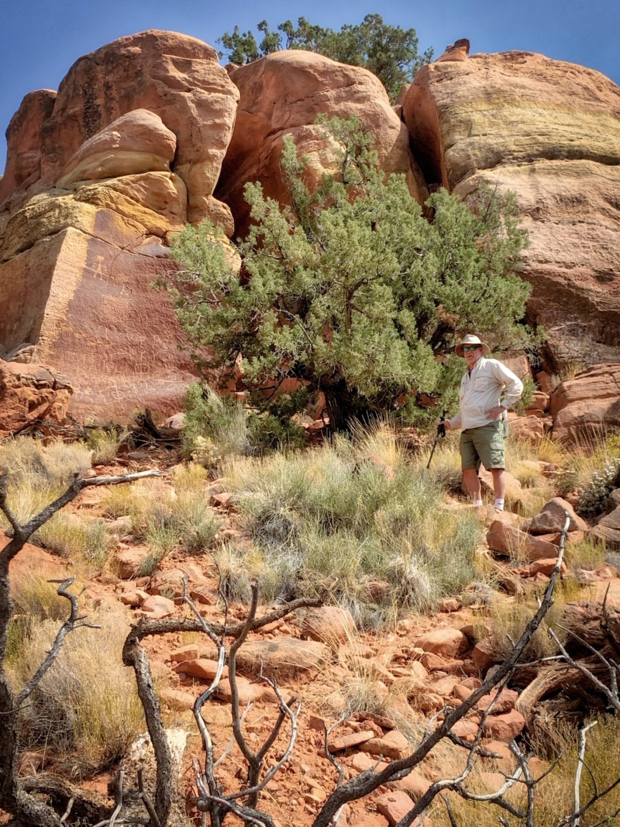
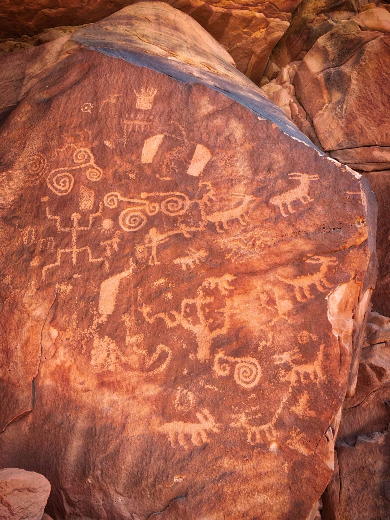
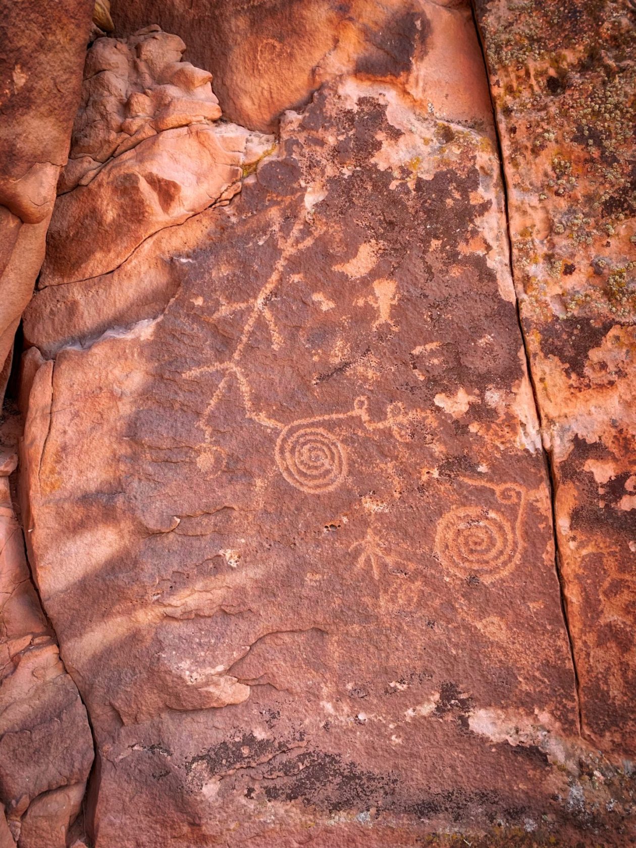
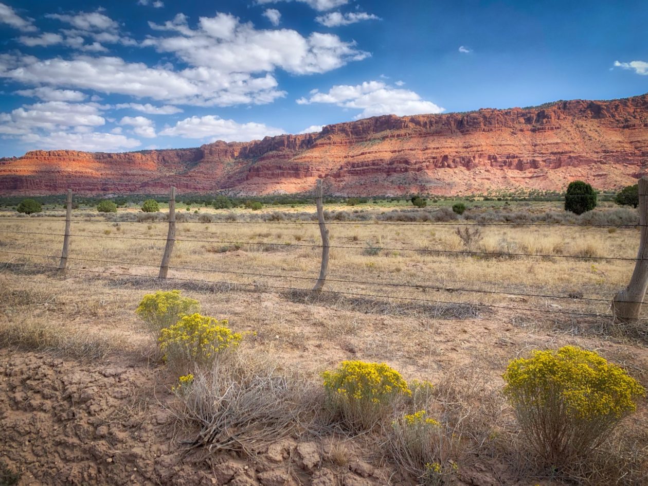
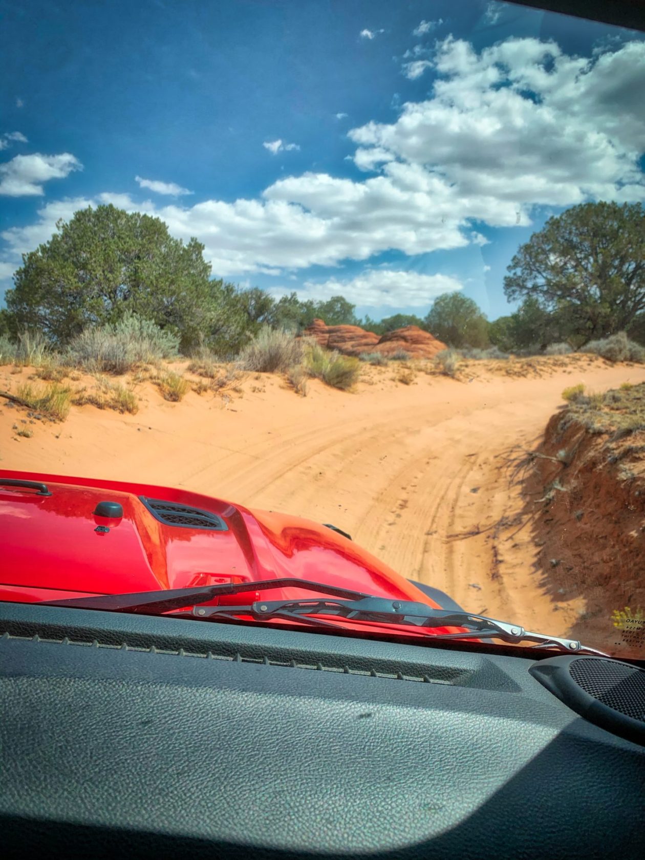
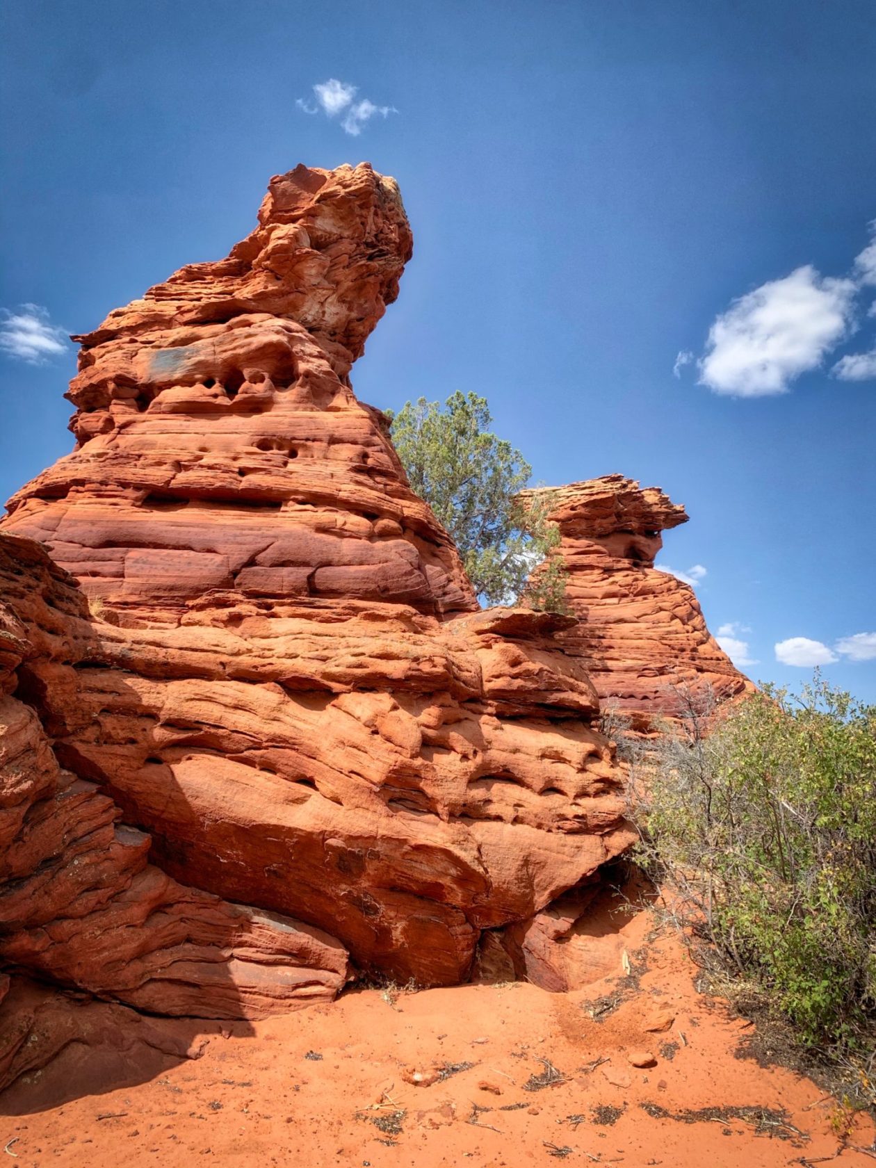
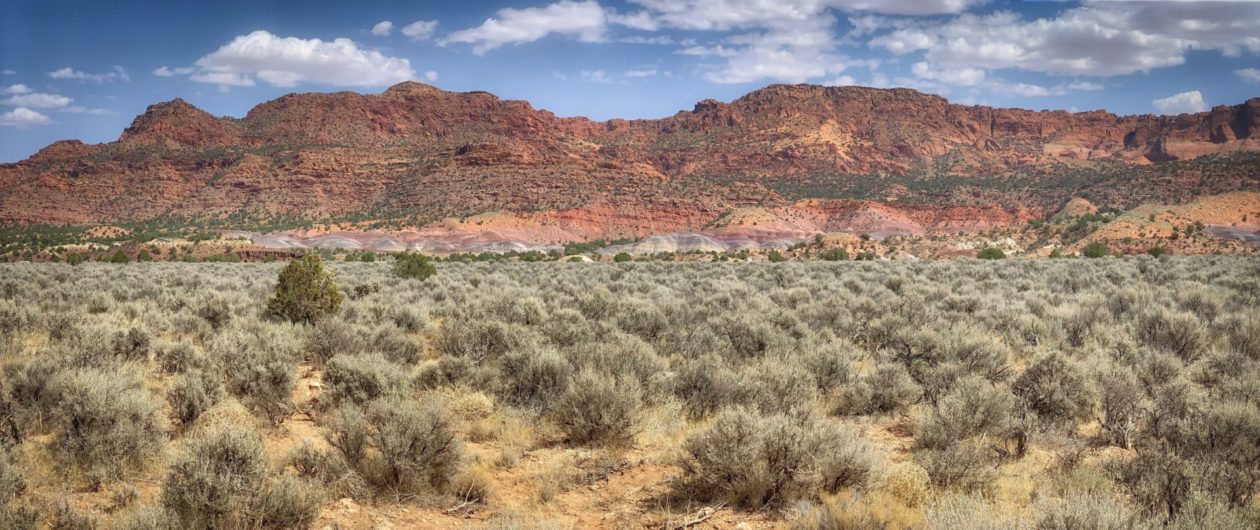
We had passed by Vermillion Cliffs National Monument on our way up to Lake Powell, but didn’t stop at the time. The reason is that to visit this area, it’s highly recommended that you have a 4-wheel drive vehicle (while our truck is a 4×4, the addition of the rig more or less eliminates us from consideration…). This is a national monument of a different type — there are few people here and no visitors’ center. What there is an amalgam of those vermillion cliffs, slot canyons, all sizes and shapes of rock formations, and more petroglyphs! Luckily, our friends have a Jeep and, thus, we were able to go. You’ve seen pictures of Vermillion Cliffs and probably not even know it. The most famous photo of the area is The Wave — a rolling sea of red and gold sandstone that really captures your eye. Sadlly, we didn’t get to see it. As with many of the areas, you need a permit to visit. In this case, only 20 people per day can go and those 20 are chosen by lottery. Instead, we visited some of the other areas like Paw Hole (after a really exciting Jeep ride up big hills through deep sand) and the Maze Rock Art Site. People have lived in this area for around 12,000 years and the petroglyphs here are believed to be some of the oldest in the US.
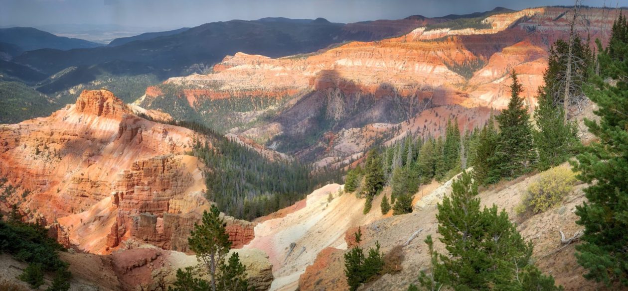
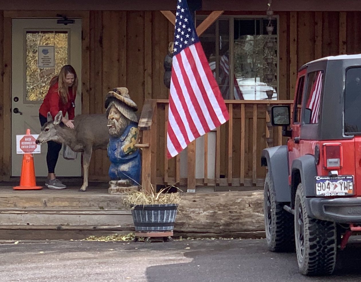
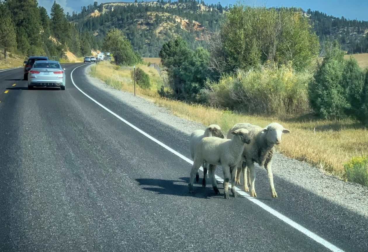
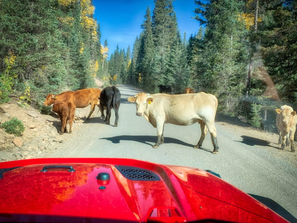
While our next stop was Bryce National Park, we decided to stop at Cedar Breaks National Monument on the way. This is one of the grand staircases in the area and looks down into a half-mile deep geological amphitheater. It sits at over 10,000 feet in elevation, which makes it that much more impressive. By the way “Breaks” is a geographic term describing a sharp or abrupt change in topography. The local Southern Paiute people called it “u-map-wich”, which means “the place where the rocks are sliding down all the time.” From the looks of the place, they got it right. On our way there, we were stopped by a herd of sheep that were lazing their way across the road. Free range grazing is pretty common in the area, but usually it is cows that are ignoring you and standing in the middle of the road. Before we left the town of Brian Head (near the national monument), we stopped at the local general store where we met Thunder, an orphaned deer that has become the town pet and had pizza at Pizano’s. If you ever visit the area, be sure to stop. They make a really good NY style pizza and make all their sandwich rolls from scratch. Yum!
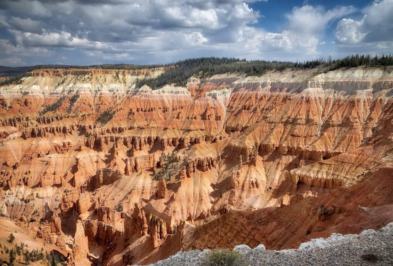
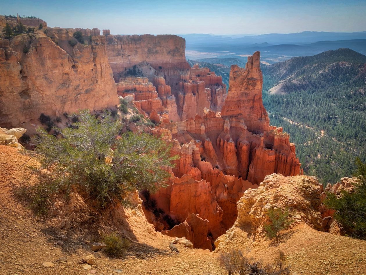
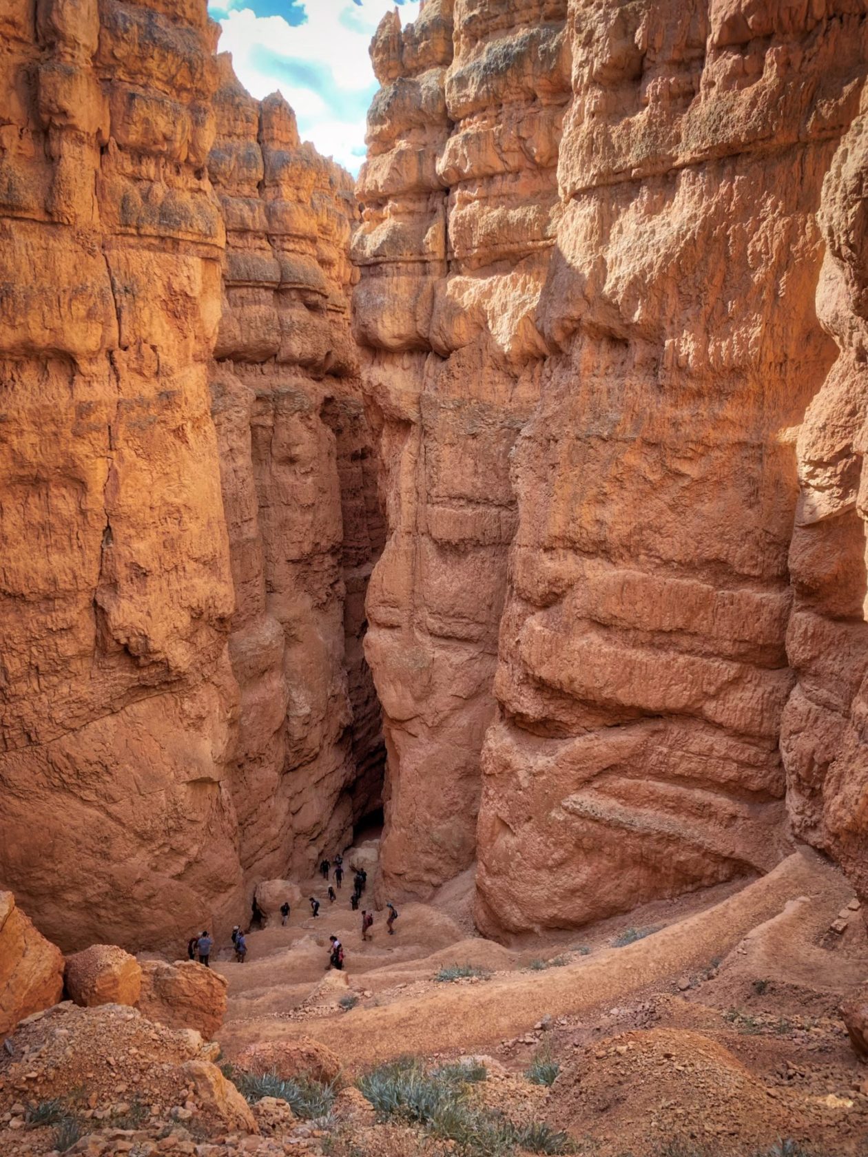
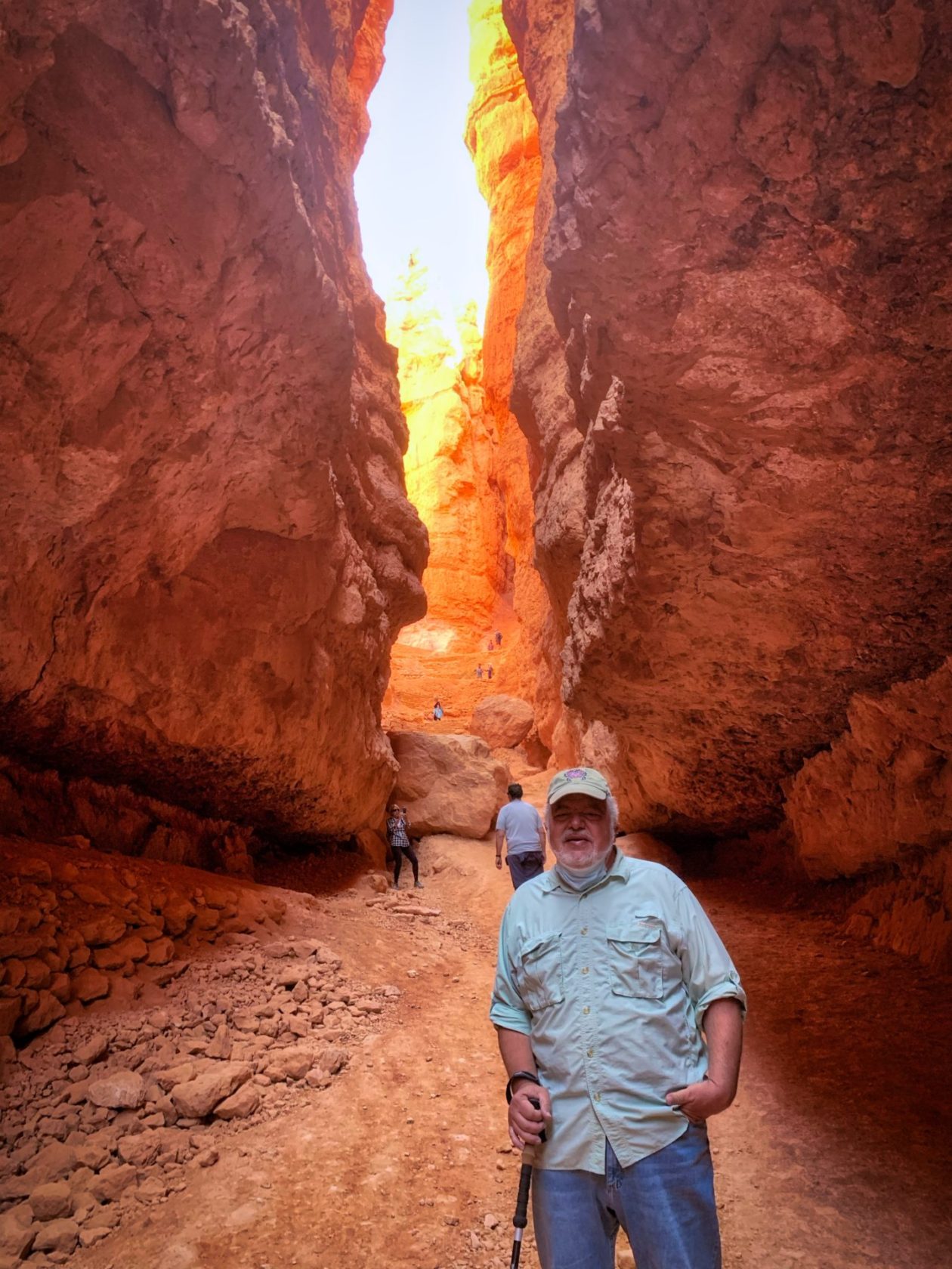
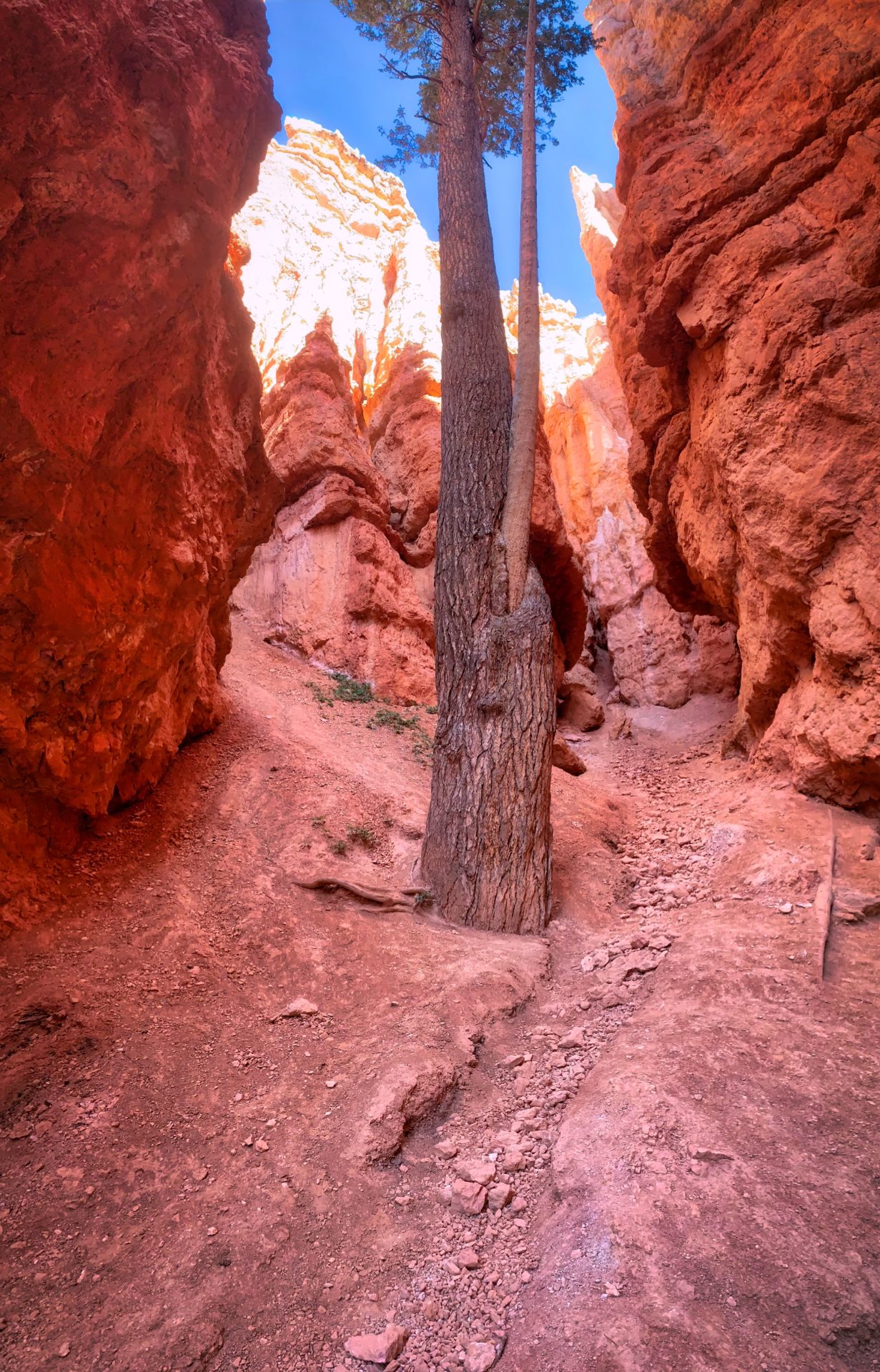
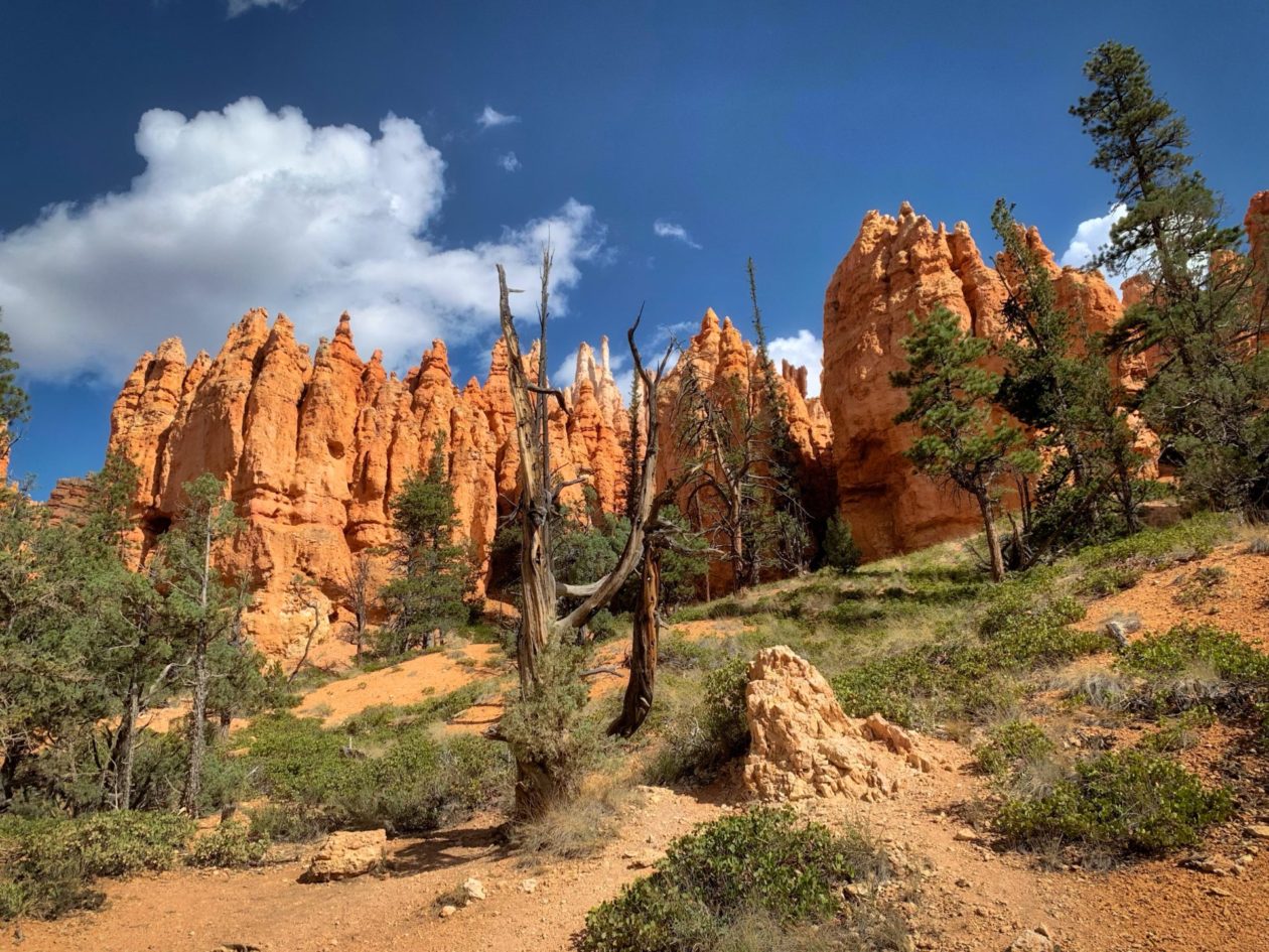
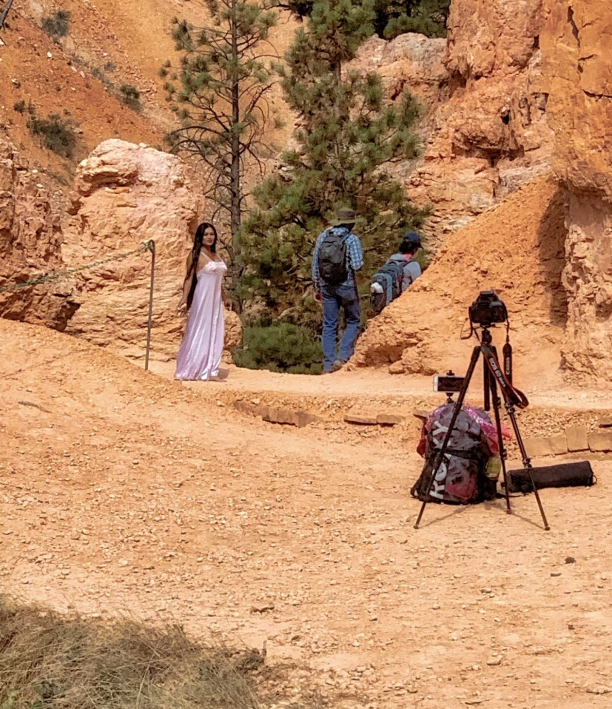
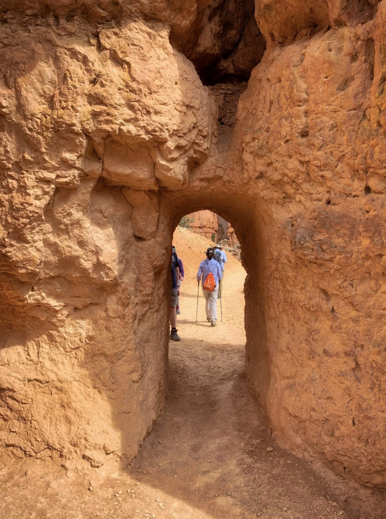
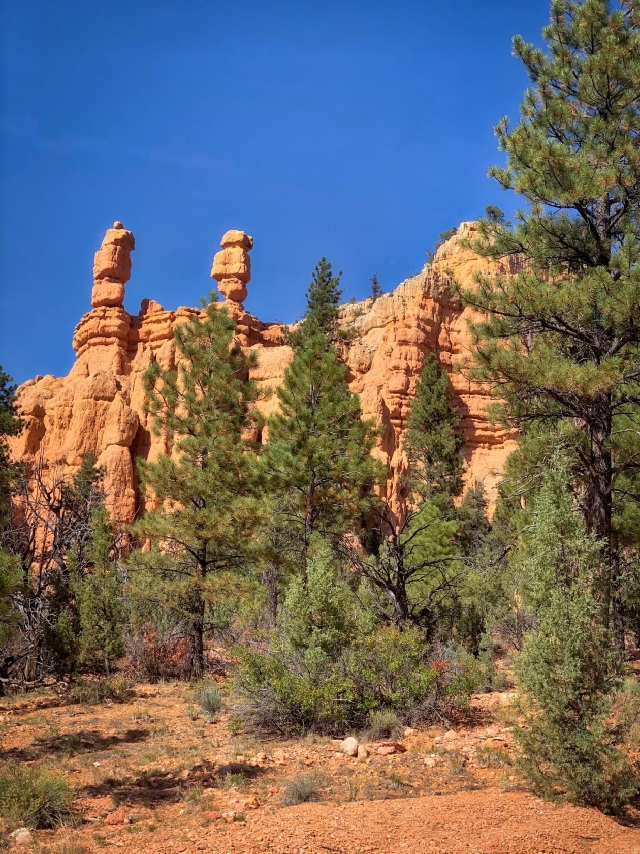
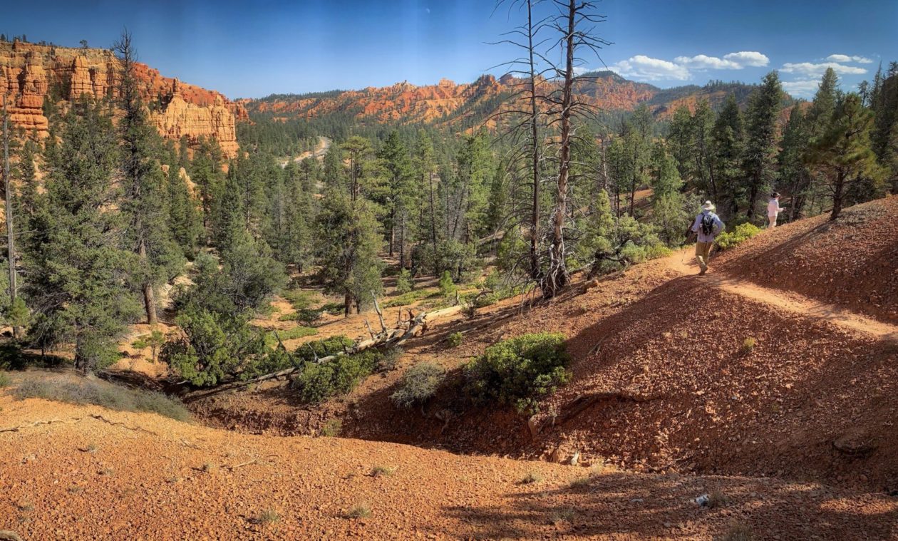
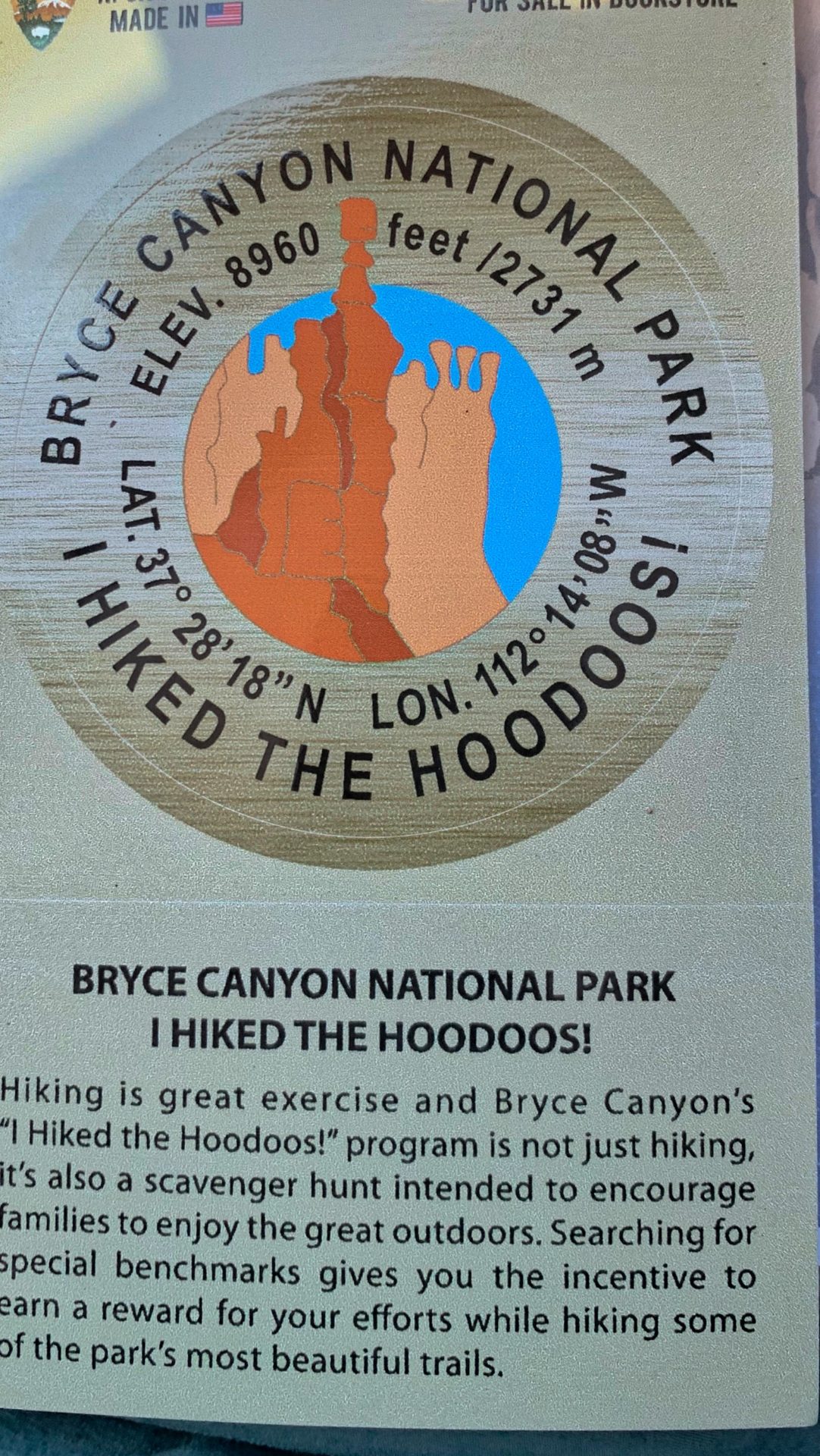
Then it was off to Bryce Canyon. While I had seen pictures in the past, I wasn’t prepared for how awe inspiring it turned out to be. These brightly colored amphitheaters represent the uppermost layer of the “Grand Staircase” and contain a wide variety of hoodoos (rock chimneys) that have been formed over eons by weathering and erosion. This whole area used to be under a lake, with the rivers and streams that fed into it, lots of clay, silt, and sand that ultimately created layers of limestone. Then the area went through a period of uplift, thrusting plateaus up to 8,000 feet from their original base. Finally, the power of water began to erode these uplifted areas, relentlessly carving away softer limestone. But temperature shifts also play a big role here. For more than half the year, the temperatures range between nighttime freezing and daytime thawing, letting water seep in and expand, thus breaking up the rocks. Despite what I thought, wind has played very little role in the shaping of Bryce Canyon. Anyway, as impressive as the view of the hoodoos is from the top, hiking down into them provided a whole different perspective. It felt like walking among a series of monuments, towering above you. And, of course, people have “imagined” shapes in the rock and named them. For instance, there is a hoodoo Queen Victoria that sits in the middle of Queens Garden. People also the hoodoos as a backdrop for photos. We actually saw a woman who had been taking photos of herself modeling lingerie over a two day period. Quite a sight to see when you are huffing and puffing your way back to the surface. We also took a bit of time to visit Red Canyon outside of Panguitch. It is run by the Forest Service and, sadly, both the Visitors’ Center and restrooms wee closed. Given the latter, we had a definite time constraint on us and we ended up only hiking one very scenic trail. Next time, I hope we can explore this park a bit more.
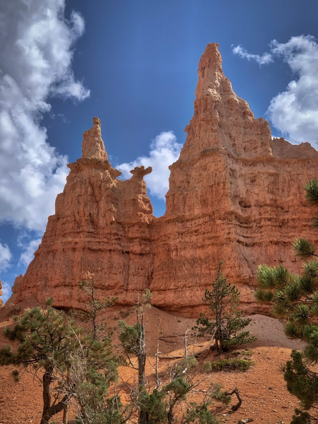
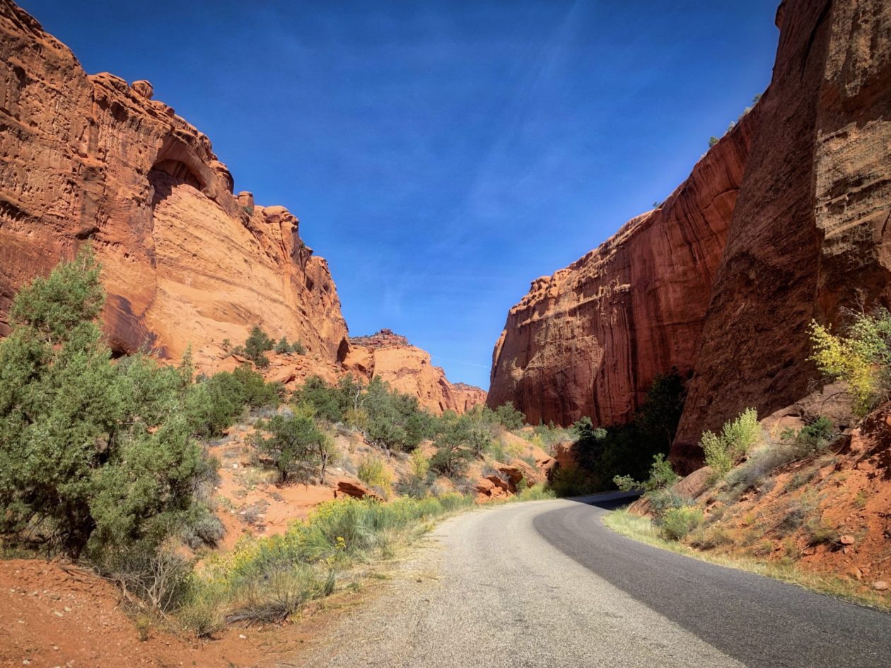
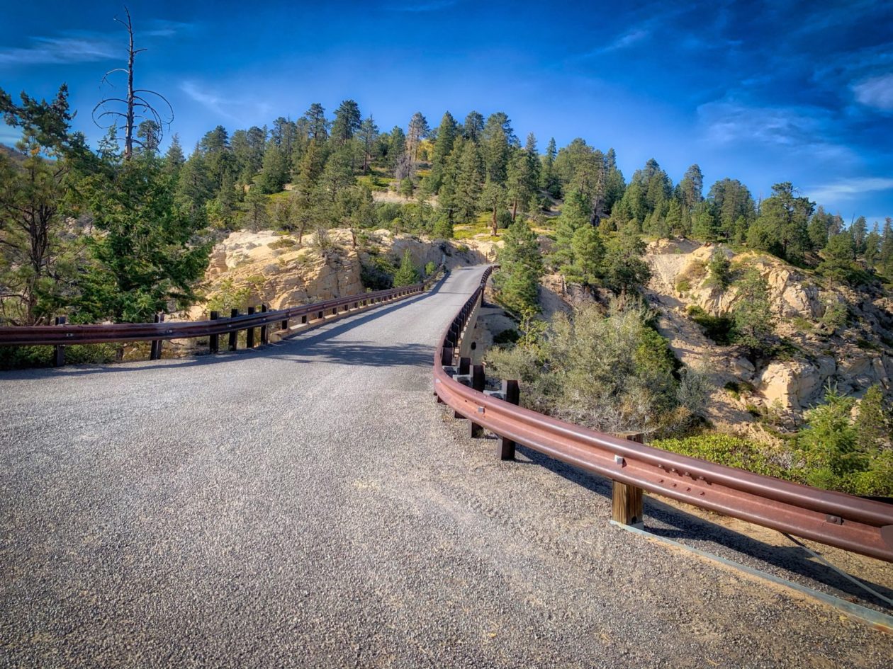
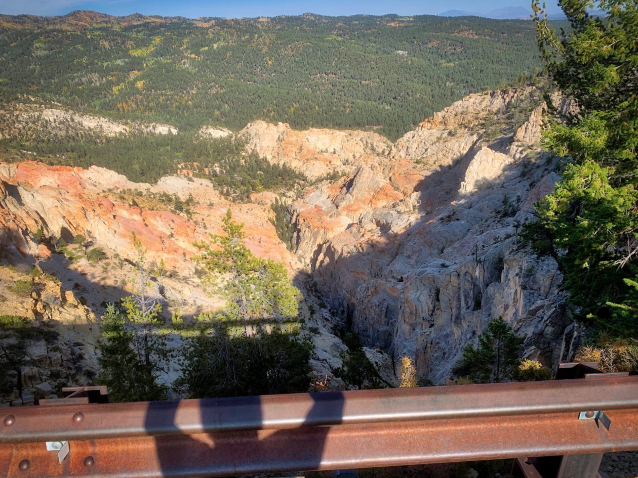
Just a short drive away was Grand Staircase Escalante. It is relatively new as a national monument (1996), but really old geologically (between 50 -275 million years). It’s also huge; even after El Presidente Trump reduced its size by nearly 47%, it is still over a million acres that spans five life zones, from low-lying desert to coniferous forest. You may not have heard much about this area because of its isolation. Hell, it was the last part of the lower 48 states to get mapped. But its isolation is what has kept it so pristine. We spent a couple of days exploring the area, including getting lost (damn you, Forest Service signs), but loving every minute of it. Driving in this area is not for the faint of heart. Even some parts of major highways have long vertical drops on both sides of the two lanes (and, of course, no guardrails). The ultimate of these is “Hell’s Backbone,” a road that finally connected the towns of Boulder and Escalante, initially built by the CCC in 1935. It soars to over 9000 feet and hugs the edge of The Box and Death Hollow (getting the picture?), with a 14 foot wide bridge that drops 1500 feet on either side. I wasn’t even driving and I was freaking out! For a bit tamer experience, we spent some time in Long Canyon. This is one of more than a hundred slot canyons in Escalante, but one of the most accessible along the Burr Trail. You can drive through this ten mile canyon with a mixture of whitish and deep red sandstone, but there are also lots of hiking trails. One of the best is the Long Canyon Slot (or Short Canyon). While it never actually presses against you, you really get the sense of being enclosed. We walked to the end and heard voices — but no people. We yelled to them and couldn’t really understand what they were saying. We thought there had to be a second room in the canyon. After hiking for more than an hour looking for said entrance, we finally met the women whose voices we had heard. It turns out they were rappelling from higher up in the same slot and we never saw them. Ah well!
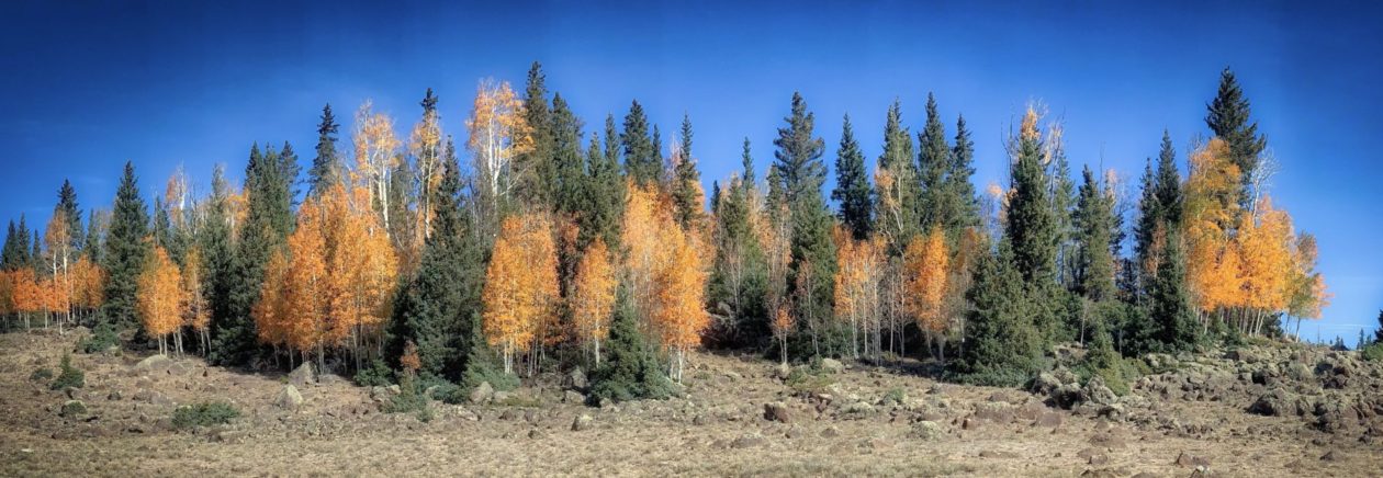
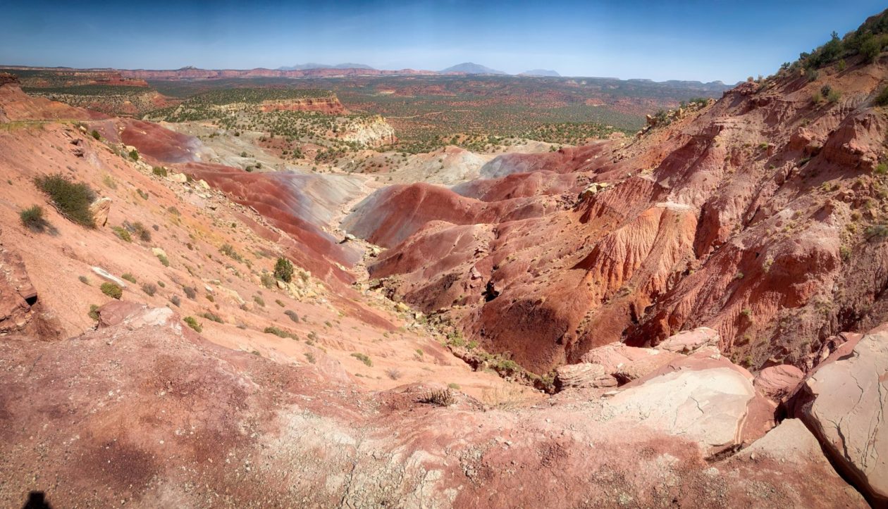
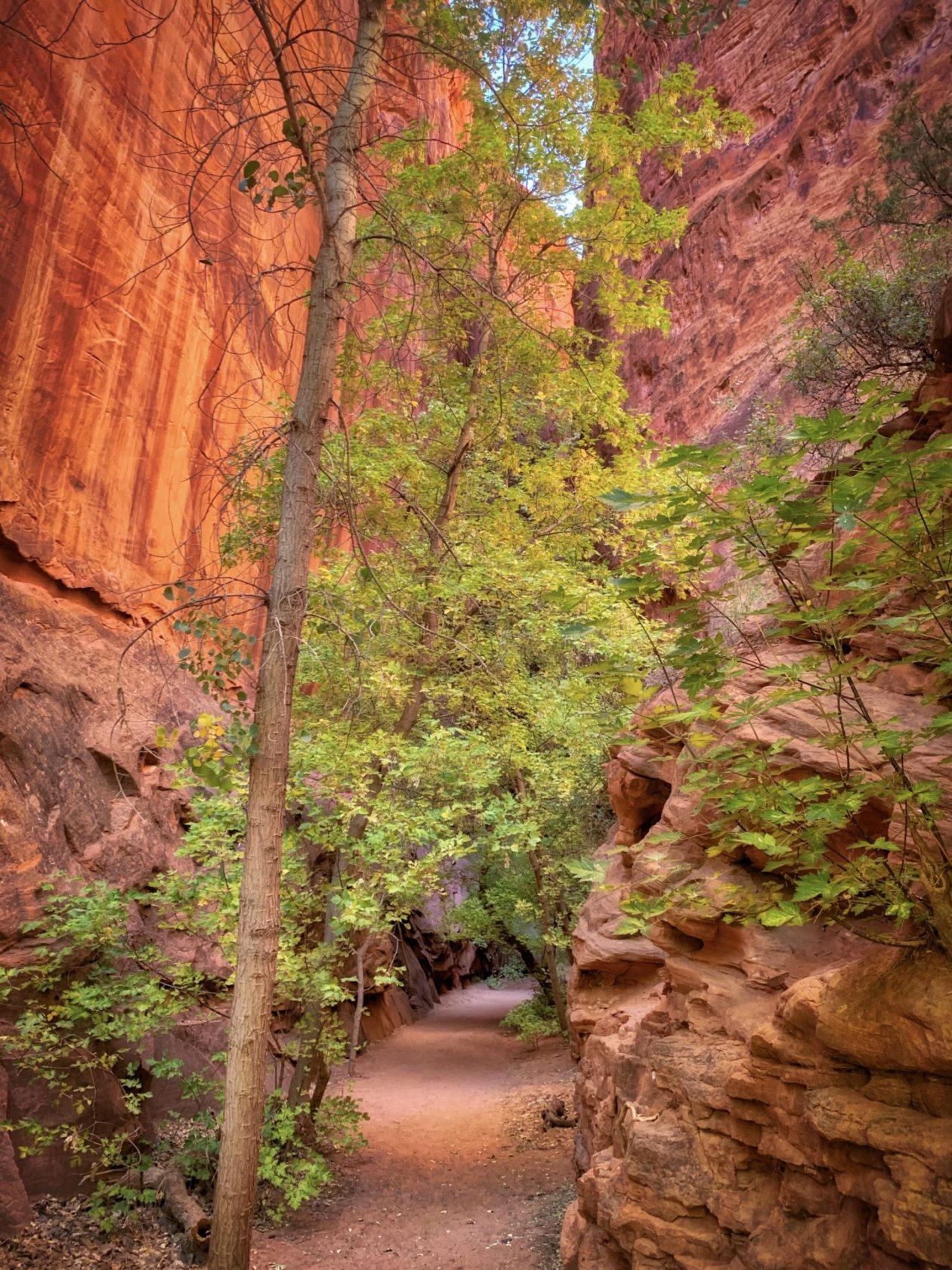
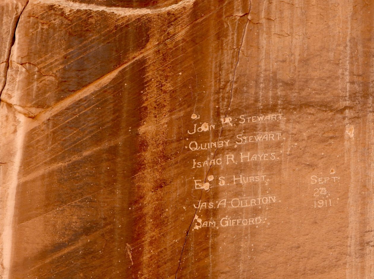
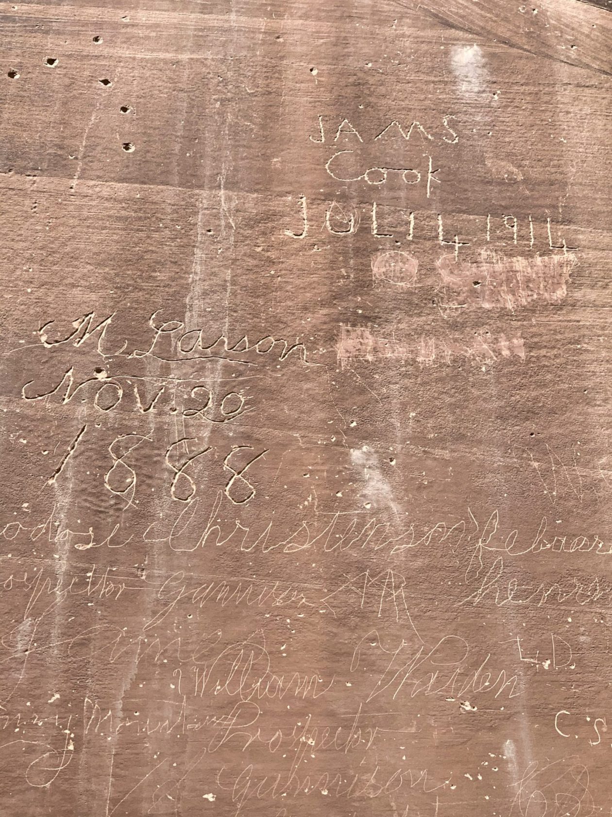
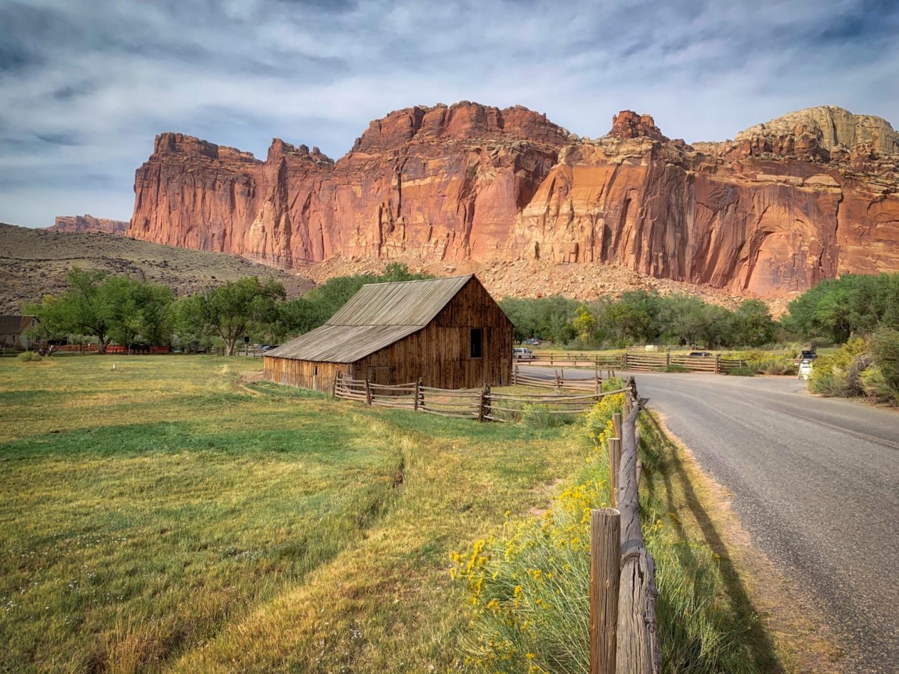
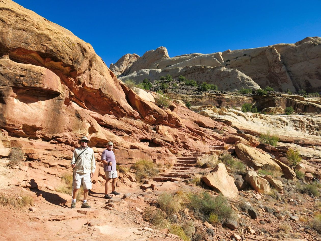
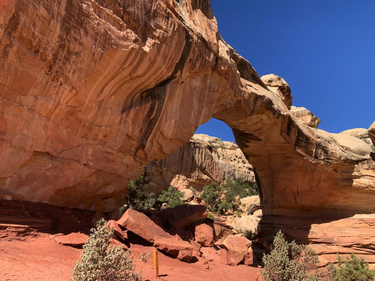
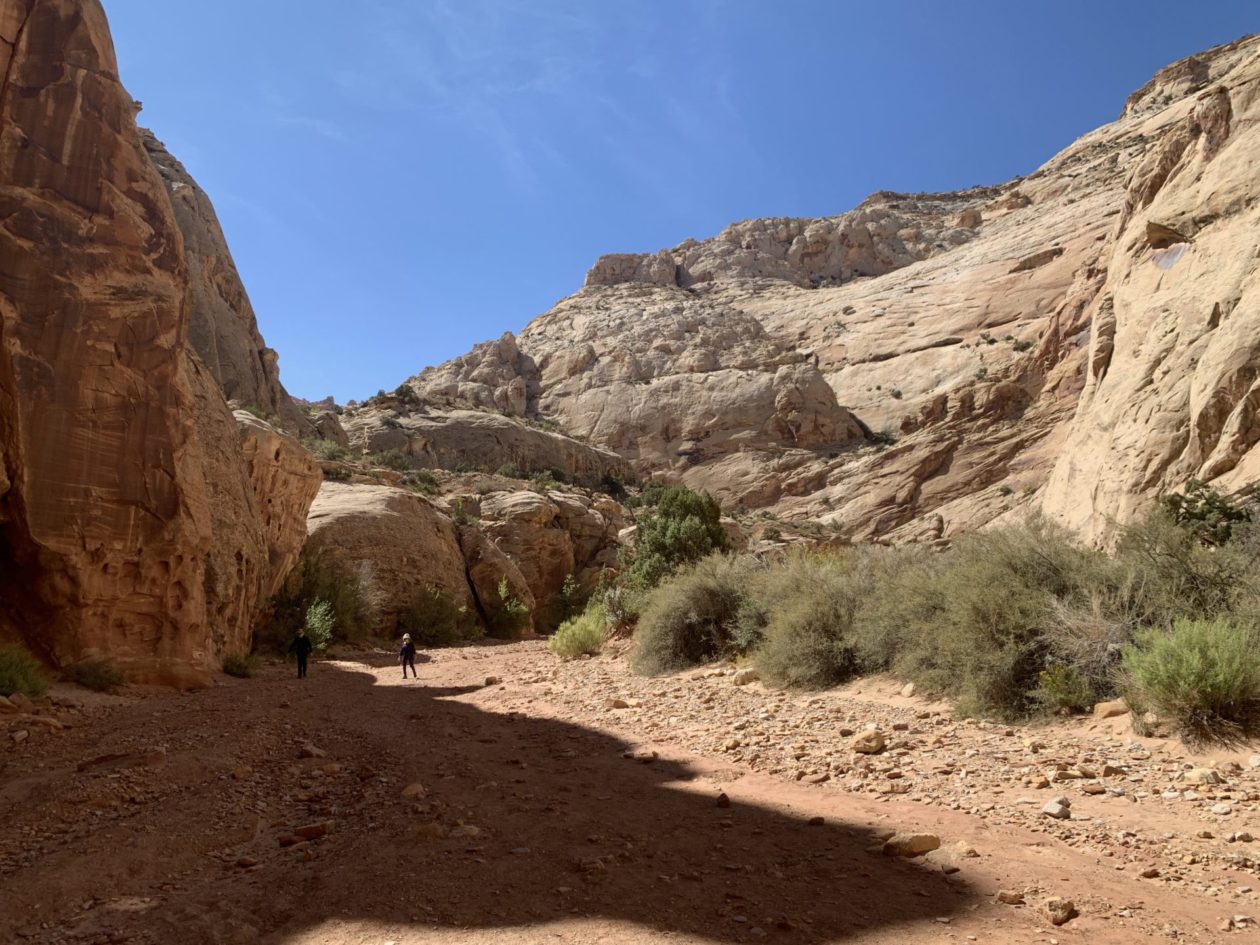
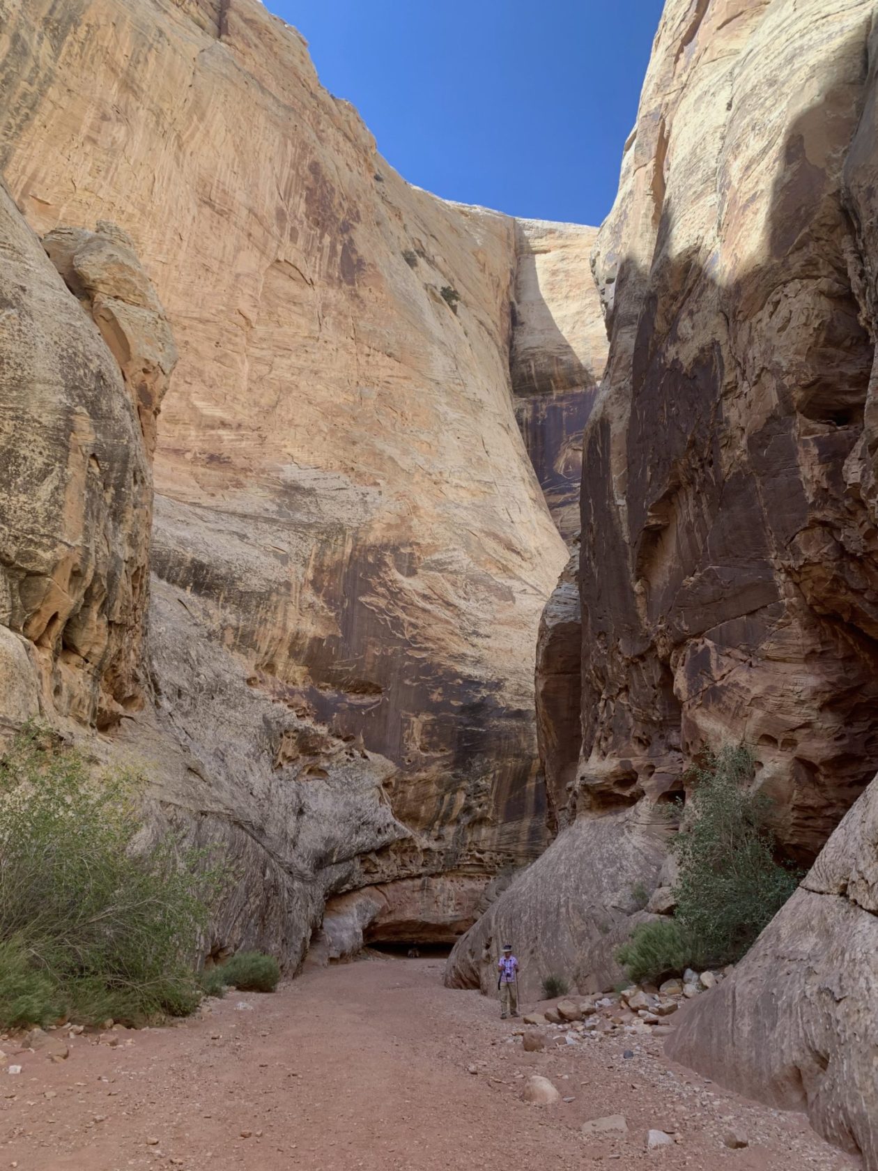
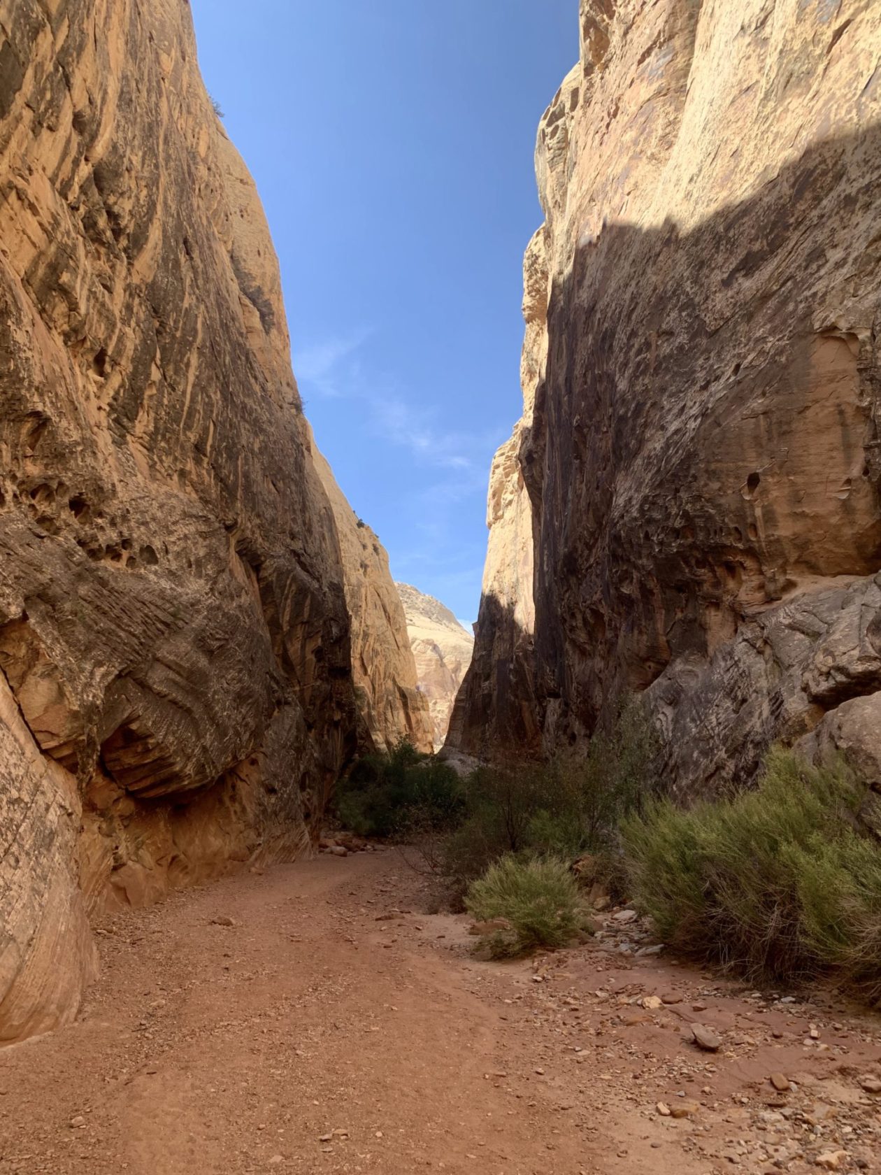
Our last stop in Utah was at Capitol Reef National Park. We had explored it pretty extensively before, but enjoyed showing our friends the area. In addition to one of my favorite hikes (Hickman Bridge), we also got to hike a few trails that were closed the last time we were here. The Capitol Gorge is at the end of the scenic drive and is a deep canyon with a combination of petroglyphs and some “antique” graffiti, dating all the way back to the mid-1800s. The other is the Grand Wash, a hike that takes you through a steep canyon and some narrows. It was on this hike that we discovered that even the NPS makes mistakes in measuring. The trailhead map showed that each way was 2.2 miles. It turned out that it was 3.3 miles each way — not generally a problem except in the broiling heat! After a couple of enjoyable days, it was time to say goodbye to our friends and start our return journey home. Thanks, Utah, it was great!
