- The Nordic Sojourn 2022 — start of trip
- Western Norway — Fjords, mountains, and a lot of rain!
- Longyearbyen, Svalbard, and start of the cruise
- Magdalenefjorden and Gravneset
- Texas Bar and…
- Arctic pack ice and polar bears — what a day!
- Ny London, Ny Alesund, and the massive glacier!
- Poolepynten and fin whales!
- Northeast Greenland National Park and Scoresby Sound
- Ittoqqortoormiit, Greenland
- Patreksfjordur, Iceland and the bird cliff
- Reykjavik and the start of our Icelandic sojourn
- The Golden Circle, Iceland
- Reykjanes Peninsula, Iceland
- Westman Islands, Iceland
- The South Coast and Waterfalls, Iceland
- Vatnajökull National Park — Svartifoss, Skaftafell and Glacier Lagoon Jokulsarlon, Iceland
- The East Fjords, Iceland
- Working our way north — canyons, wastelands, fumaroles, pseudo craters and lakes!
- The Diamond Circle
- Akureyri, a breakdown, and a detour
- VR Viking battle, Glaumbær, Icelandic horses, and back to Reykjavik
- Husafell
- Into the Volcano!
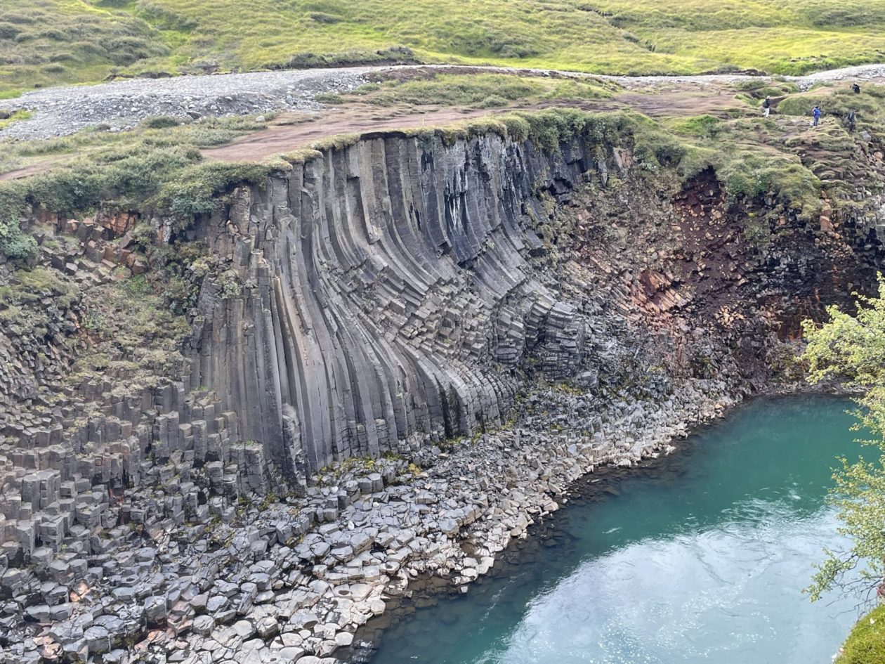
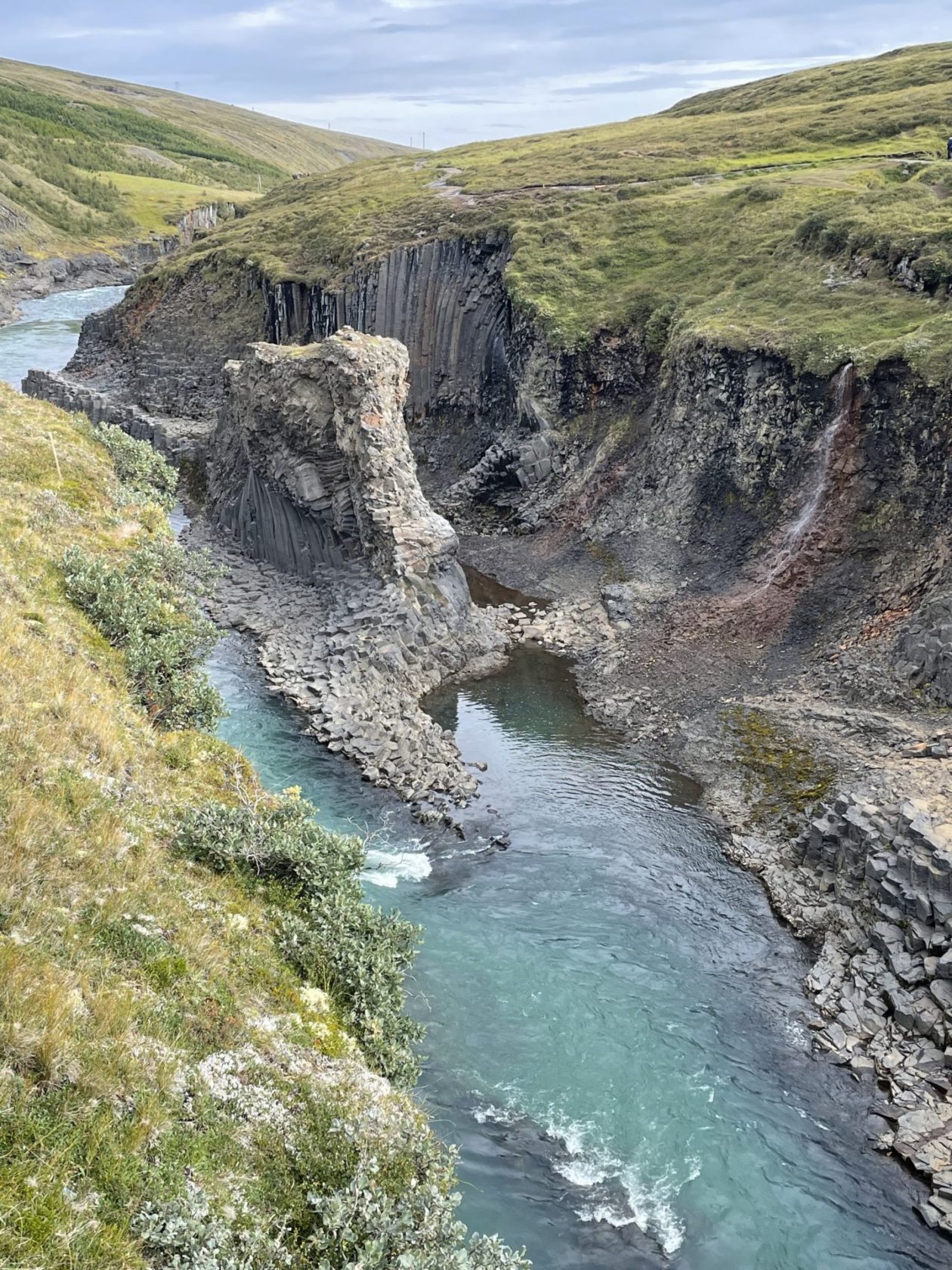
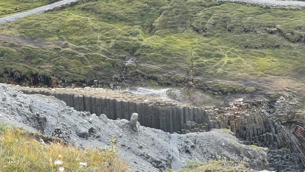
Today was another traveling day as we started to make our way north. But the day was also marked by extreme changes in terrain and landscape. Our first stop today was Studlagil (Basalt Column Gorge), a section of the Jökulsá á Dal River. This gorge has one of Iceland’s largest collections of basalt columns. The river is a shadow of its former self since a hydroelectric dam was installed, but really, it was the columns that we were here for. The forces that must have been in play to make the curves in these columns must have been tremendous, but they flow so beautifully. The river color actually changes based on the season and the release of water from behind the dam. We were lucky to see the blue-green; in the winter when the dam is overflowing and snow melts into the river, it turns a dull gray-brown. Off course, to get a good look at the canyon, you have to walk down, and then back, 200+ steps. A great way to work off your breakfast!
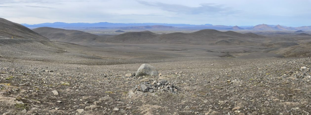
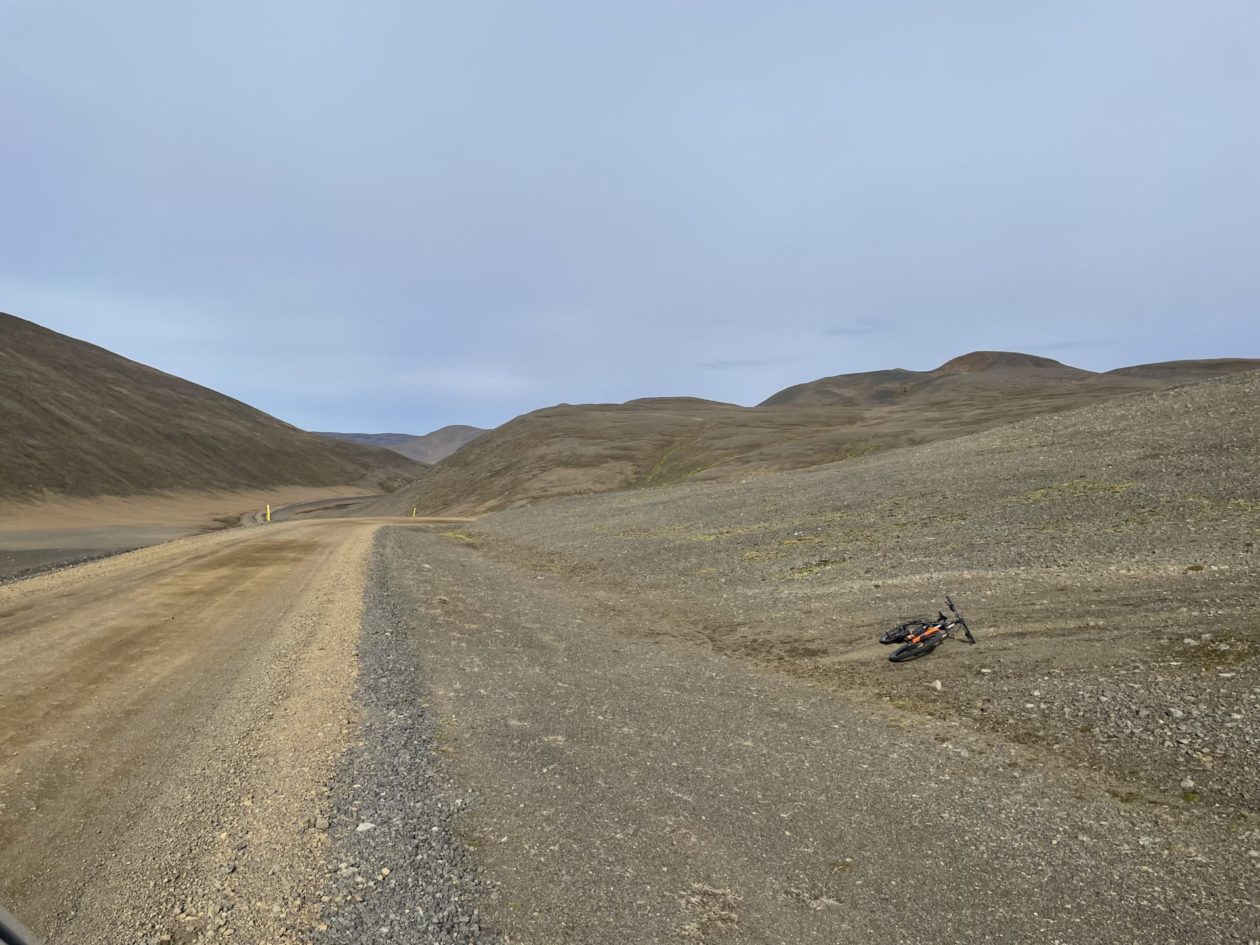
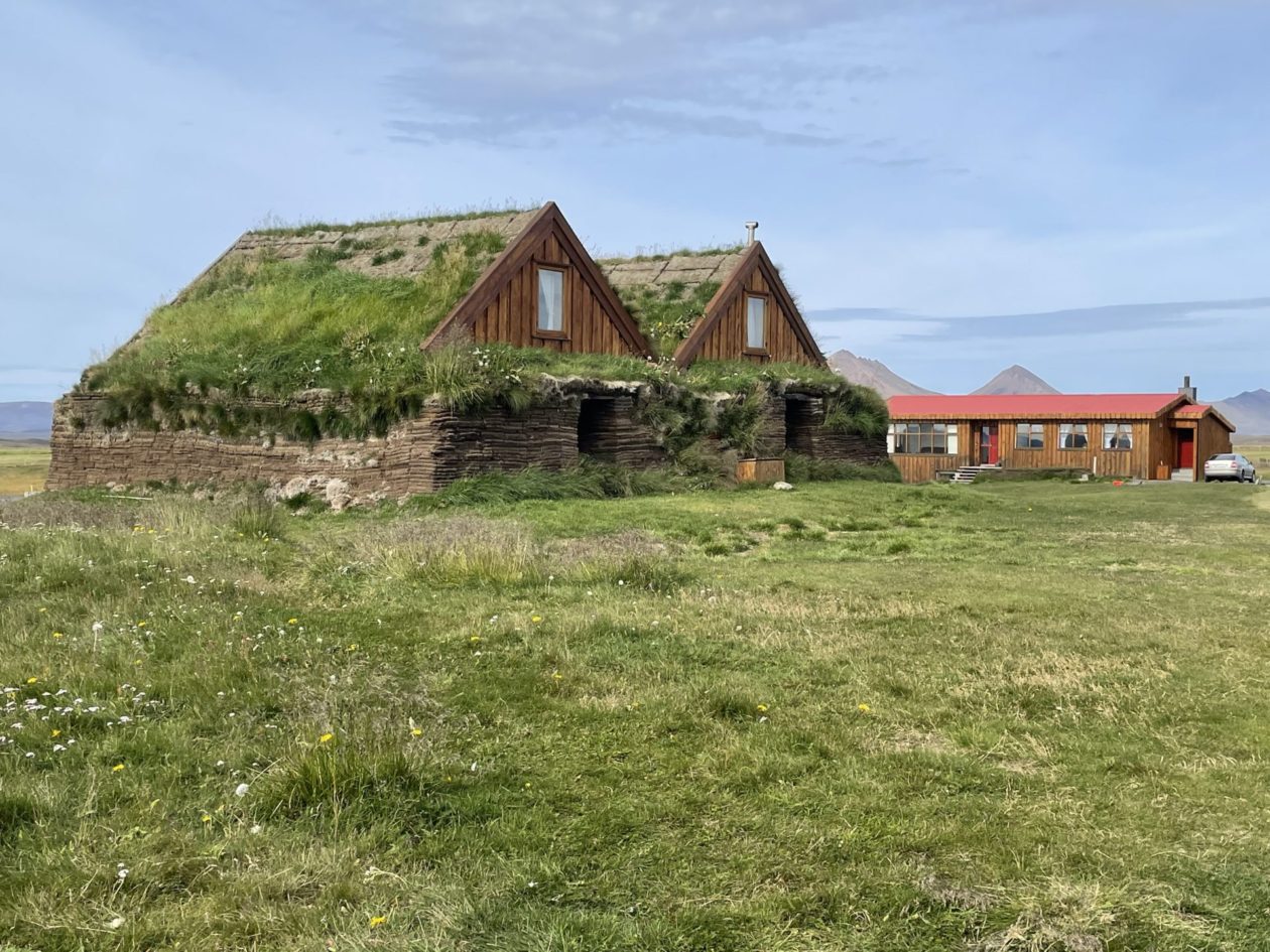
From there, we made our way through the Modrudalöræfi wastelands. It’s not clear why this area is as desolate as it is, but it seems to go on forever. But now I’m going to give Iceland props here. We had reliable cell phone coverage nearly all across the country — even in the wastelands. And yet, it was often hard to find the cell towers. We did stop in an unusual place in the middle of the wastelands, however — Möðrudalur, which is the highest farm in Iceland (over 1500 feet). It was almost like finding an oasis in the middle of the desert. There has actually been a farm in this location from the early settlement of Iceland by the Vikings, and it is located in what was a major crossroads that are mentioned in Viking sagas. They actually found some ancient farm ruins just north of the current farm. It turns out that the farm nearly closed when the Ring Road was moved north of Möðrudalur in 2001, but the son of the current owners invested a lot of money to add a tourist dimension to the farm that, to all accounts appears to have been successful. We stopped there for lunch and a walk around the farm buildings, and then it was time to move on.
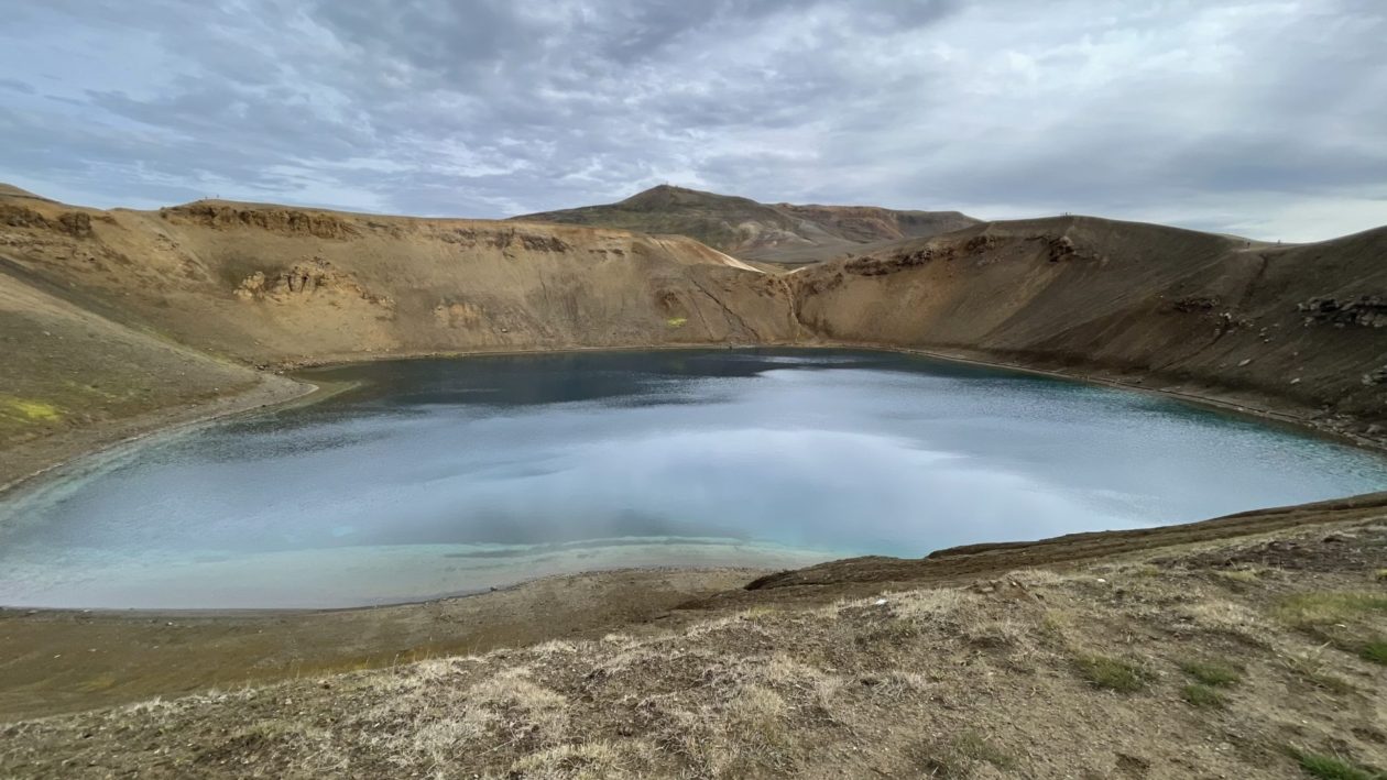
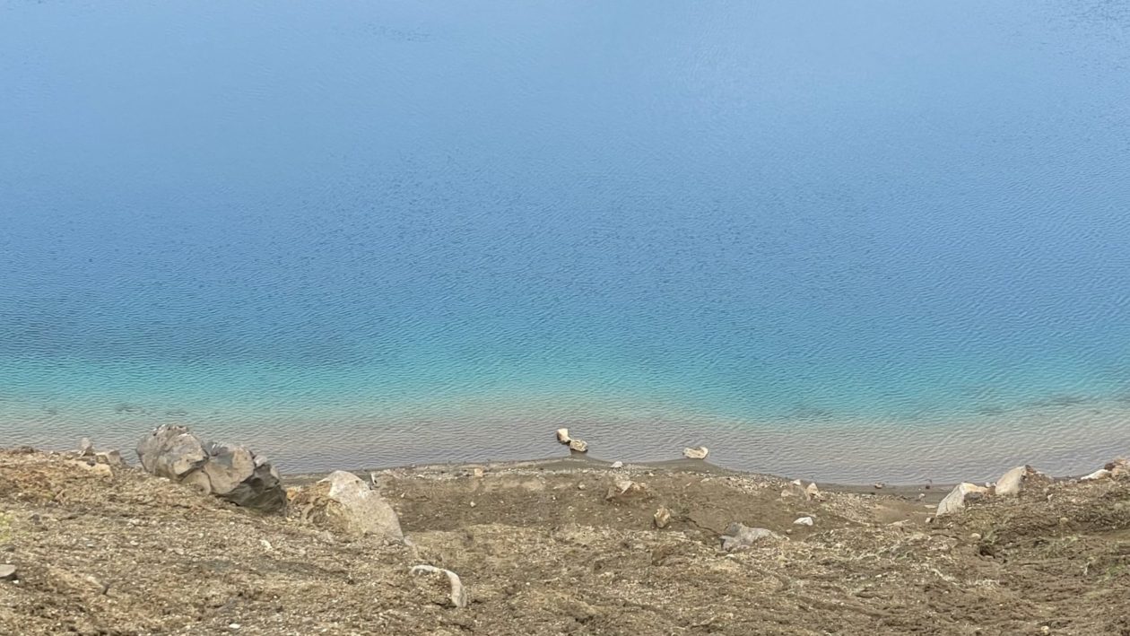
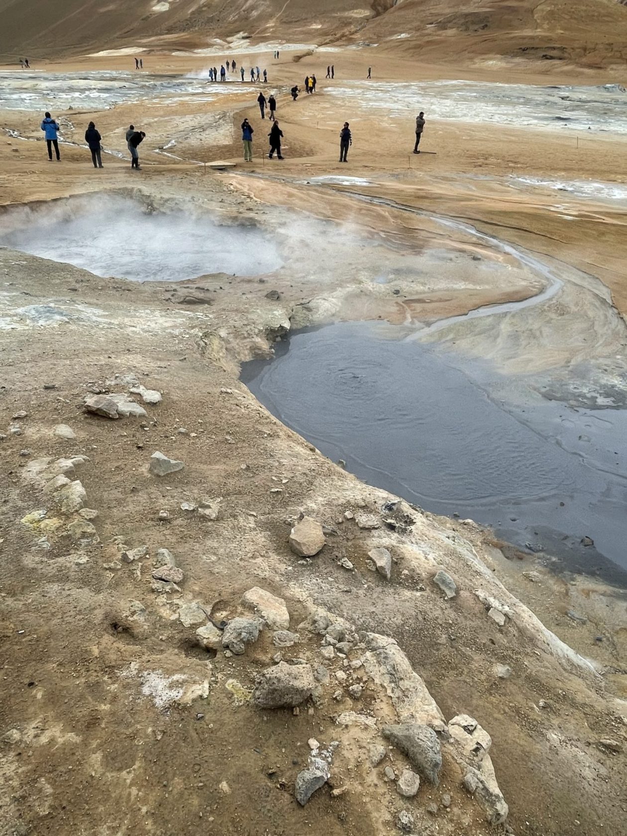
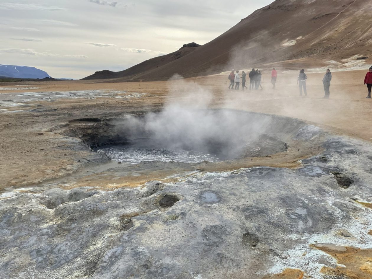
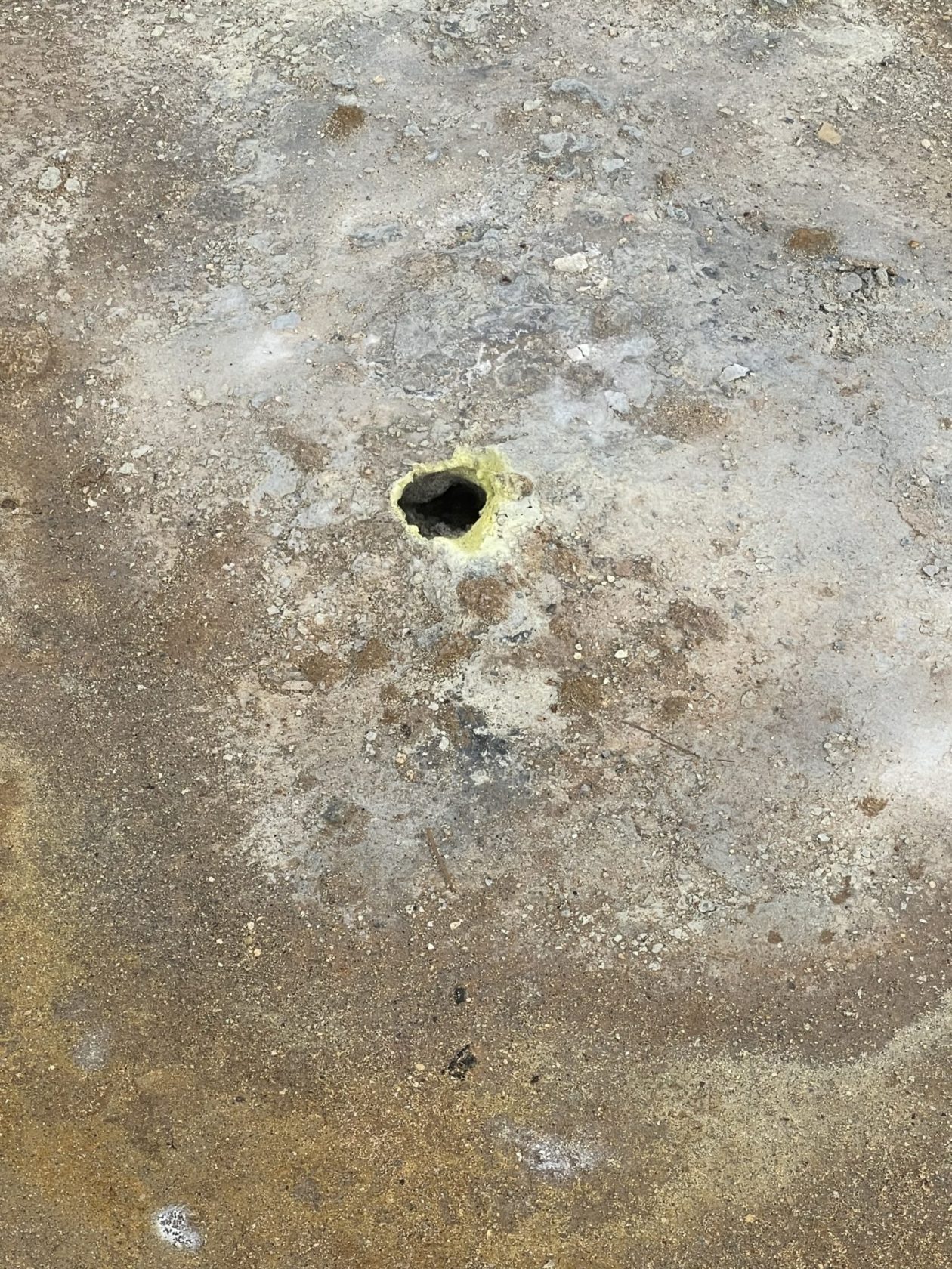
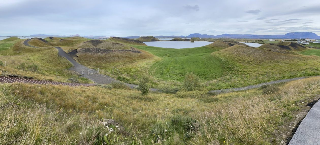
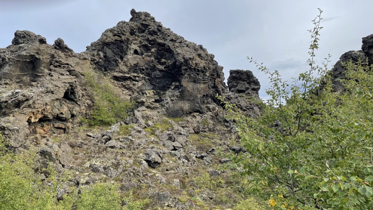
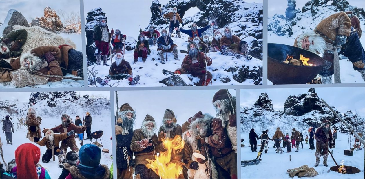
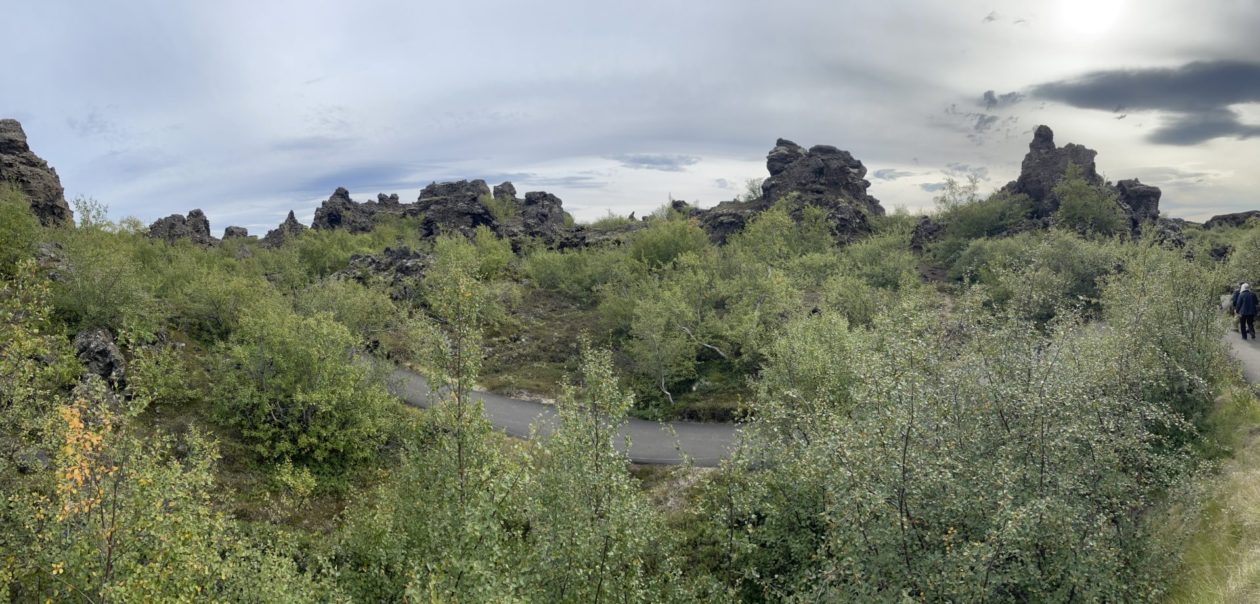
As we approached the Lake Myvatn area, we stopped in the nearby geothermal area. Our first stop was Viti Crater, a nearly 1000 foot crater that was formed during a 5-year long explosive eruption of the west side of the Krafla volcano back in the 1700s. What makes this crater unusual is that it is filled with water, the color of which changes based on the level of bacteria and the geothermal activity in the area. When we were there, the color was deep blue with a turquoise ring around the edges. From there, we went to the Námafjall geothermal area. This is one of the richest sulphur geothermal areas in Iceland, with a number of fumaroles and mud pots with temperatures reaching nearly 400 degrees F. The hydrogen sulfide smell was really intense here and we couldn’t really escape the shifting winds. Because of that, we left pretty quickly and headed over to another unique geologic feature in the area — the Skútustaðagígar pseudo-craters. Walking through this area reminded me of some sort of Scottish golf course — lots of very green craters that are surrounded by lots of greenery. It turns out that during eruptions from the Krafla volcano system, lava ran across this area that at the time was swampy wetlands. The heat caused steam eruptions that then created these crater-like shapes. But we weren’t done yet! Our next stop was Dimmuborgir, a unique set of lava formations that were created when lava flowed over a lake, causing it to boil. This sped up the cooling of the lava and caused pillars of steam to shatter it. The result was large stacks of rocks with many caves and caverns. But as beautiful as these formations are, it’s the folklore associated with them that makes them so interesting. You see, these caves are the home to the “Icelandic Santa Clauses” or Yule Lads. On the 13 nights before Christmas, these trolls come one-by-one to trick Icelanders, each with their own strategy based on their names (e.g., Skyr-Gobbler who steals and licks the house’s supply of yogurt-like skyr). Just like so many other fables, they are designed to keep kids on the straight-and-narrow; if they are, they get a small gift each night.
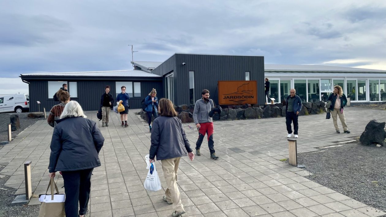
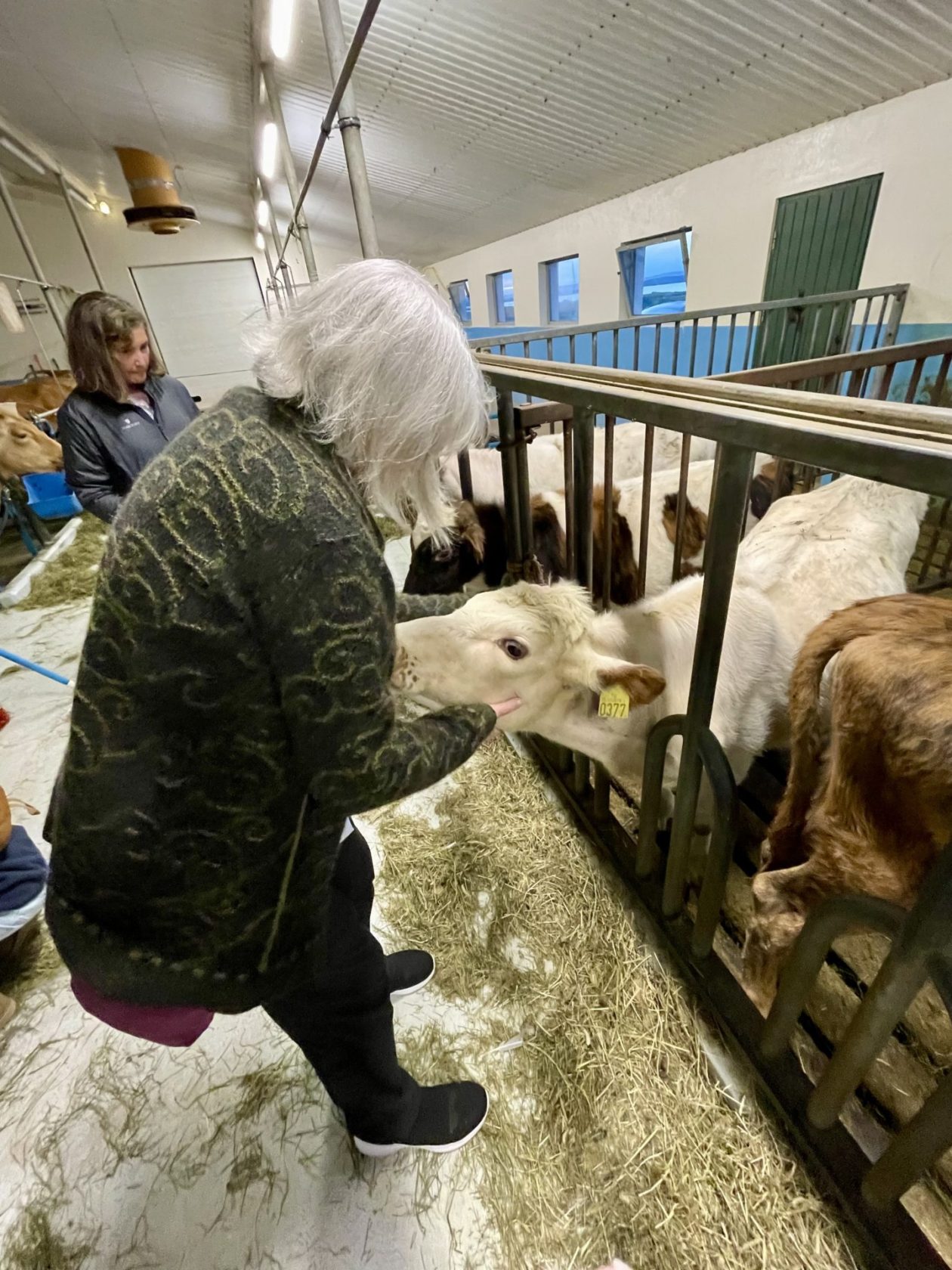
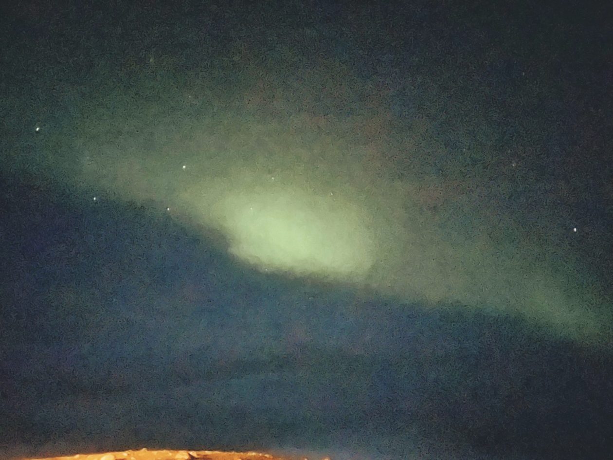
Finally, finally, our day was over and we got to go soak in the Jardbodin Hot Springs. We then ate at a farm-to-table restaurant where you can go play with your food (at least the cows) before you eat. That night, Deb stayed up late and got our first views of the Northern Lights. Hopefully, this will be the start of something good!
