- Trip start, Duluth stopover, and the International Wolf Center
- Duluth Round 2
- North Shore of Minnesota
- Isle Royale National Park
- Bayfield, Apostle Islands, and Hayward, WI
- Waterfalls, the Porkies and Bond Falls
- Pictured Rocks and the Great Lakes Shipwreck Museum
- Mackinac Island
- Dunes, friends, and the end of the trip
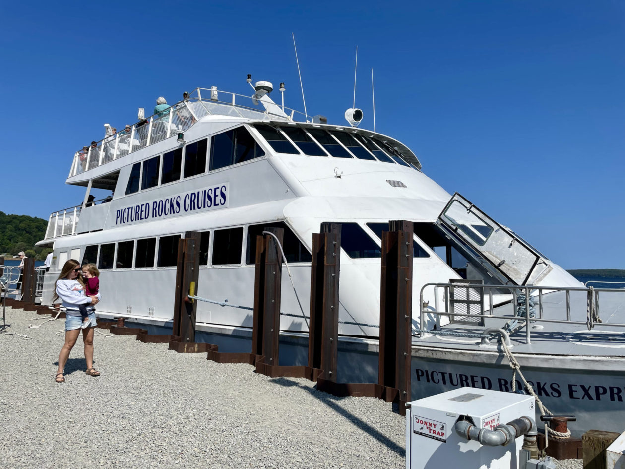
From Bond Falls, we drove to Munising, MI, the home of Pictured Rocks National Seashore. We were interested in comparing the stories of Munising and nearby Grand Marais (yeah, a second one!) and Pictured Rocks with Bayfield and the Apostle Islands. They both had similar history in terms of exploration, early settlements, and the bounty of natural resources that could be exploited. And exploited they were — nearby Grand Marais grew to around 2000 people doing logging or working in the sawmills, but the early 1900s, the forests and the people were gone. Pig iron was also smelted in the area, but that too dried up. It was only after World War II, that the interest in tourism and visiting the Pictured Rocks really came into play, initially in one of the iron ore boats and today with a fleet of boats located in Munising.
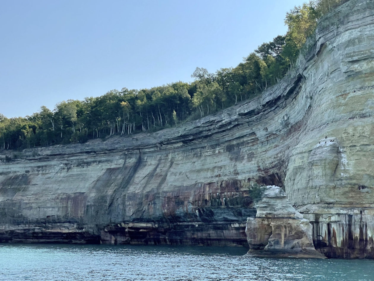
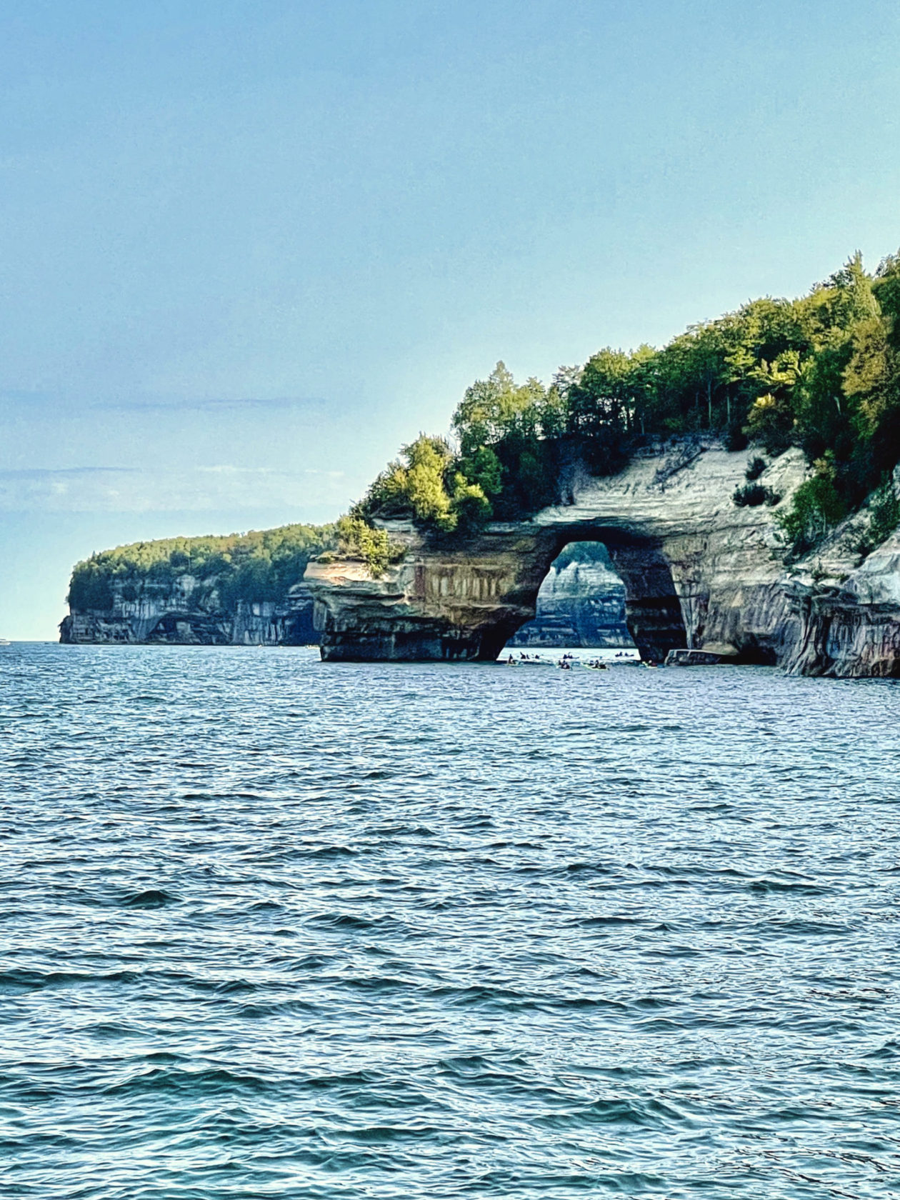
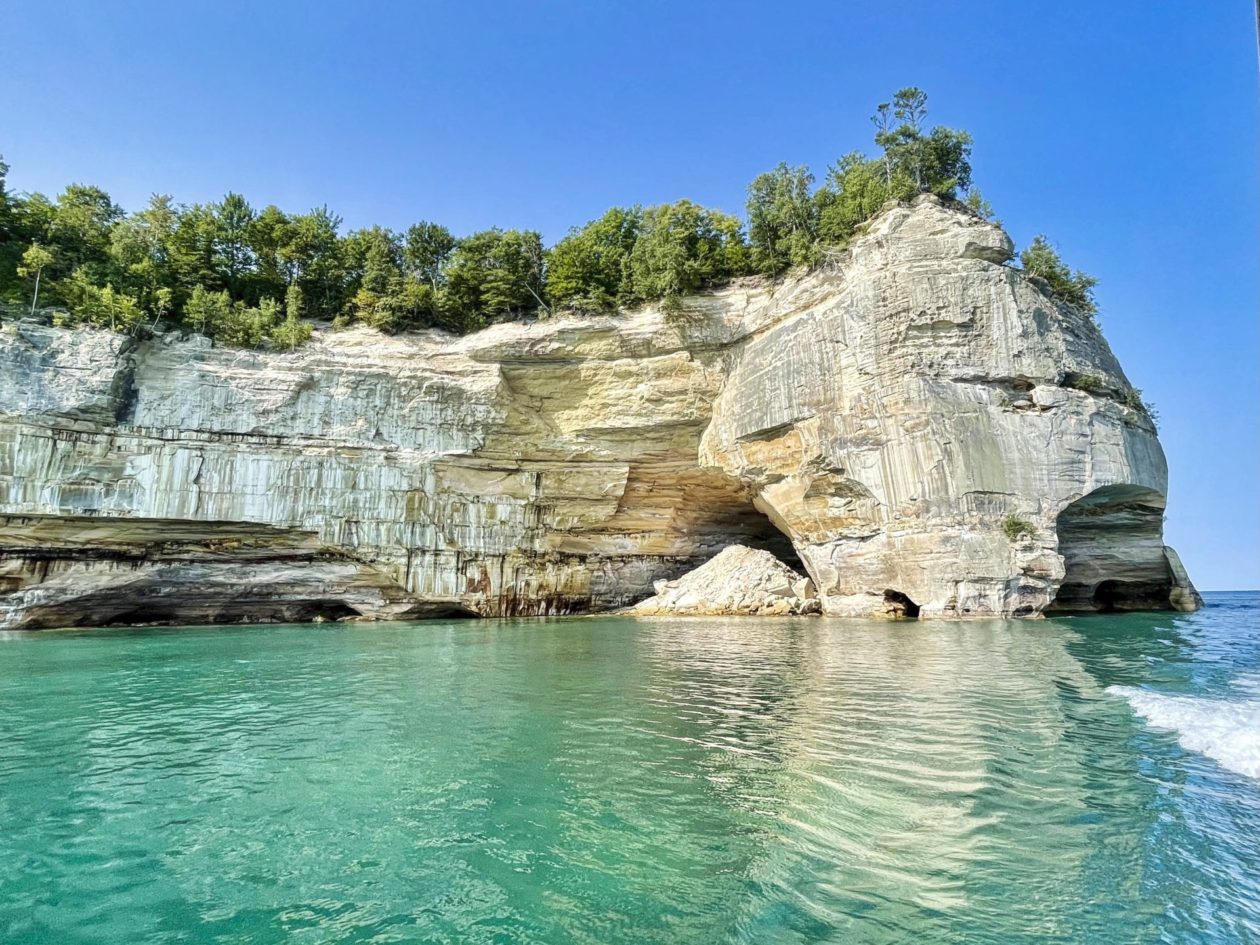
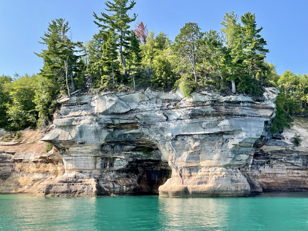
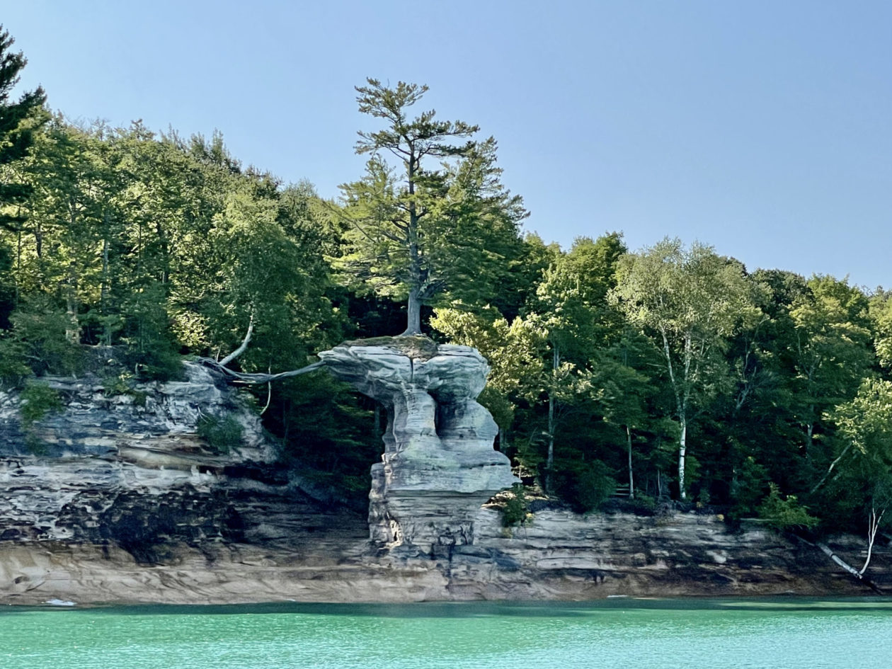
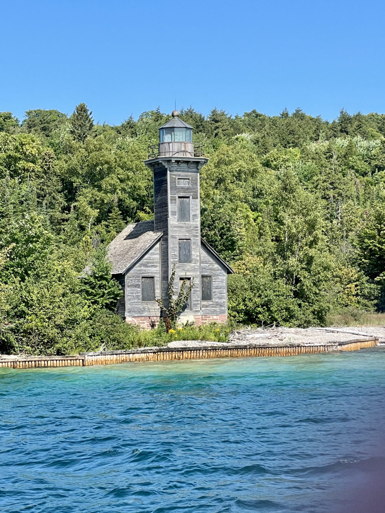
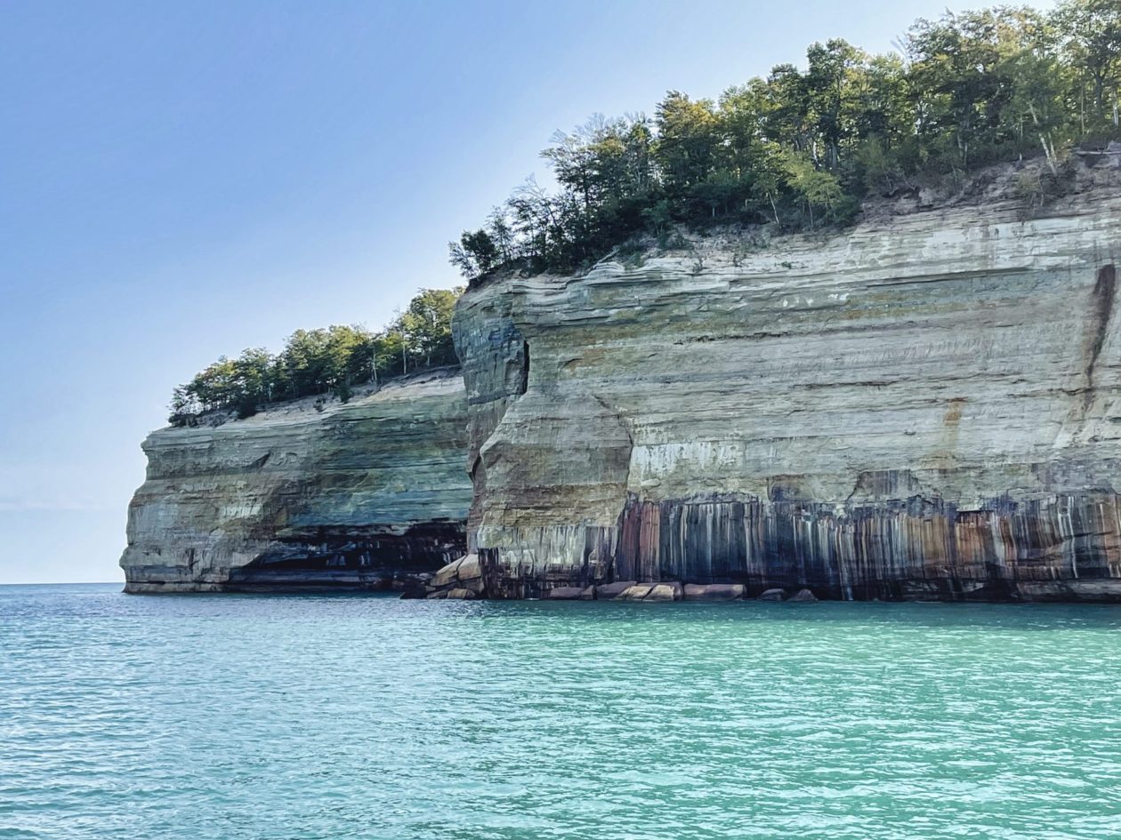
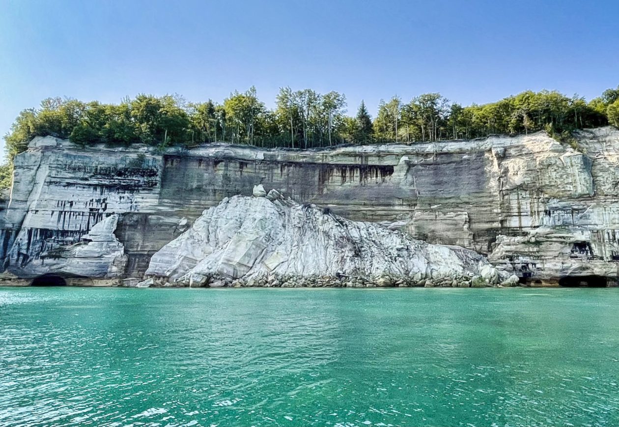
Pictured Rocks National Lakeshore encompasses 42 miles of Lake Superior shoreline including 15 miles of beautiful sandstone cliffs that we saw by boat as well as 12 miles of beaches that we would have loved to check out had we had the time, These are called Pictured Rocks because of the colorful streaks in the sandstone — rust color for iron, black for manganese, blue for copper, and even pink for garnet. Once again, ice, wind, and waves did their thing on the cliffs but, unlike the Apostle Islands, these cliffs are up to 200 feet high. It was amazing to get in close to these giants. Of course, everyone sees something different in the formations and you hear names like Miner’s Castle, Lovers Leap, and Chapel Rock. There was even a cool old wooden East Channel Lighthouse on Grand Island that was originally constructed in 1868, later abandoned, and restored in the early 2000s. Given that our tour was in the morning, there were a lot of shadows and harsh light on the cliffs making them somewhat harder to photograph. The perfect time to see these formations is near sunset. Who knows, maybe we will come back!
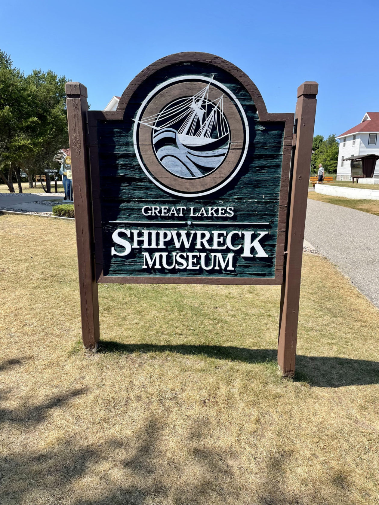
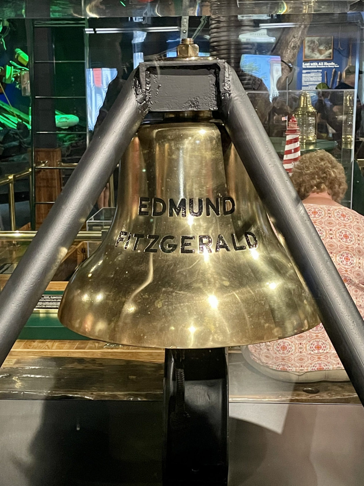
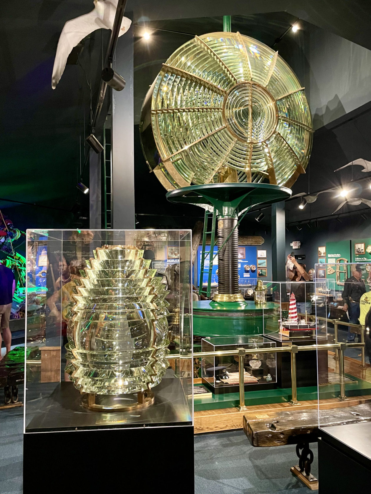
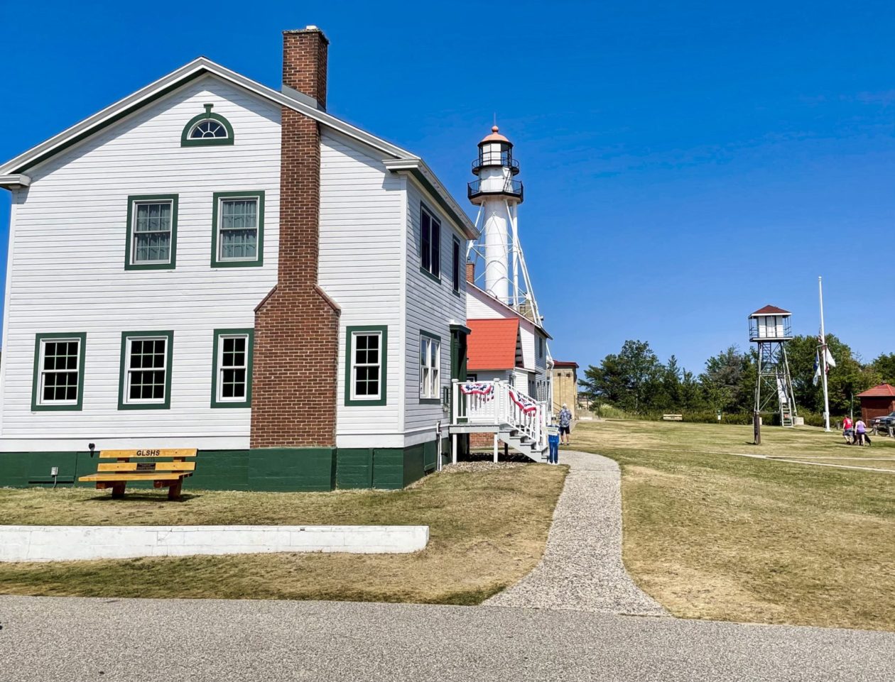
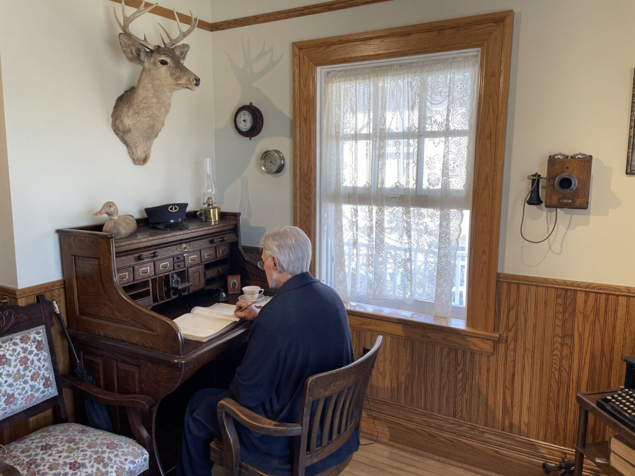
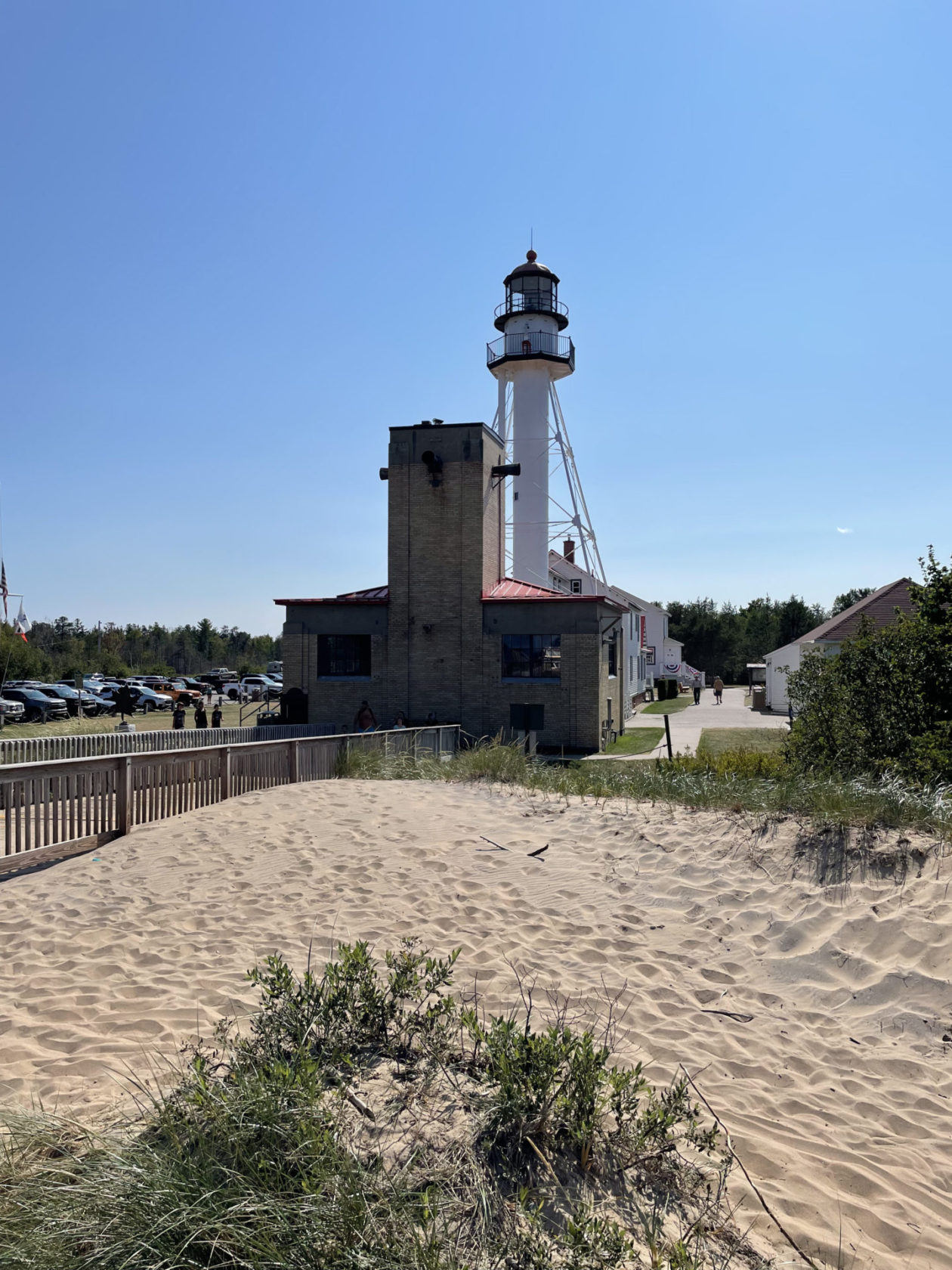
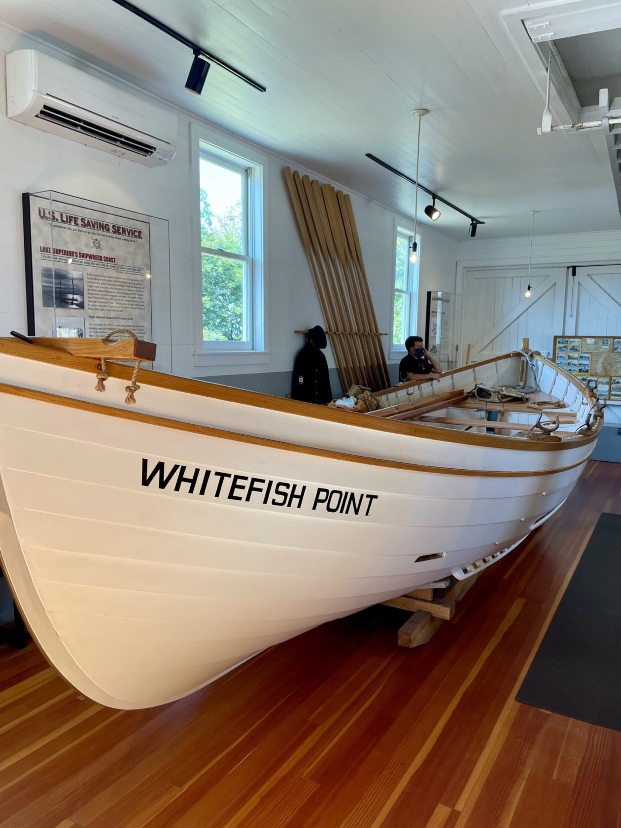
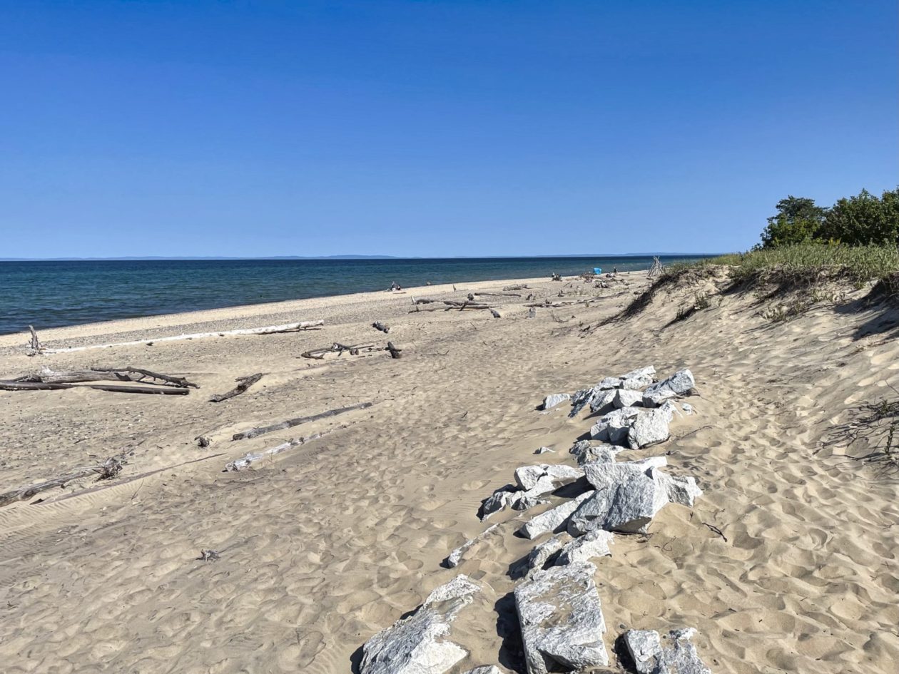
When we finished there, we drove up to Whitefish Point at the end of a peninsula in Lake Superior to visit the Great Lakes Shipwreck Museum. Whitefish Point marks a critical turning point for all ships entering or leaving Lake Superior. The 80-mile stretch of rugged coastline around Whitefish Point are known as Lake Superior’s Shipwreck Coast. Approximately 550 wrecks went down in this area — more than any other part of Lake Superior. There are three reasons for this: (1)this eastern end of the lake is more congested where the lake narrows like a funnel, (2) poor visibility from fog, snow, and even forest fires, and (3) the massive seas that can whip up in this lake during a “Nor’wester.” The museum is located at the site of the Whitefish Point Light Station (the oldest operating lighthouse on Lake Superior). They have restored the old lightkeeper’s quarters and surfboat house that can be toured. You can really get a sense of just how busy this station was. They also have assembled a series of exhibits and artifacts that document many of the shipwrecks that occurred nearby — including the ship’s bell from the Edmund Fitzgerald that sank only 17 miles from there. It was definitely a sobering visit. From there, we drove down to St. Ignace for the evening, across the water from our next destination — Mackinac Island!
